
NOAA’s Hurricane Hunters risk their lives each time they fly into the eye of a storm to collect crucial data for forecasting, hurricane modeling, and research.
fieldwork

Posted inENGAGE, News
Harpy Eagles Concentrate Precious Nutrients in the Amazon
Amazon soils are usually low in the nutrients that plants covet, but harpy eagles can create local hot spots with their poop and prey.

Posted inNews
Dating the World’s Tallest Trees
Scientists analyzed more than 1.2 million trees to assemble chronologies of annually dated rings, which will inform fields ranging from climate science to seismology.
Posted inFeatures
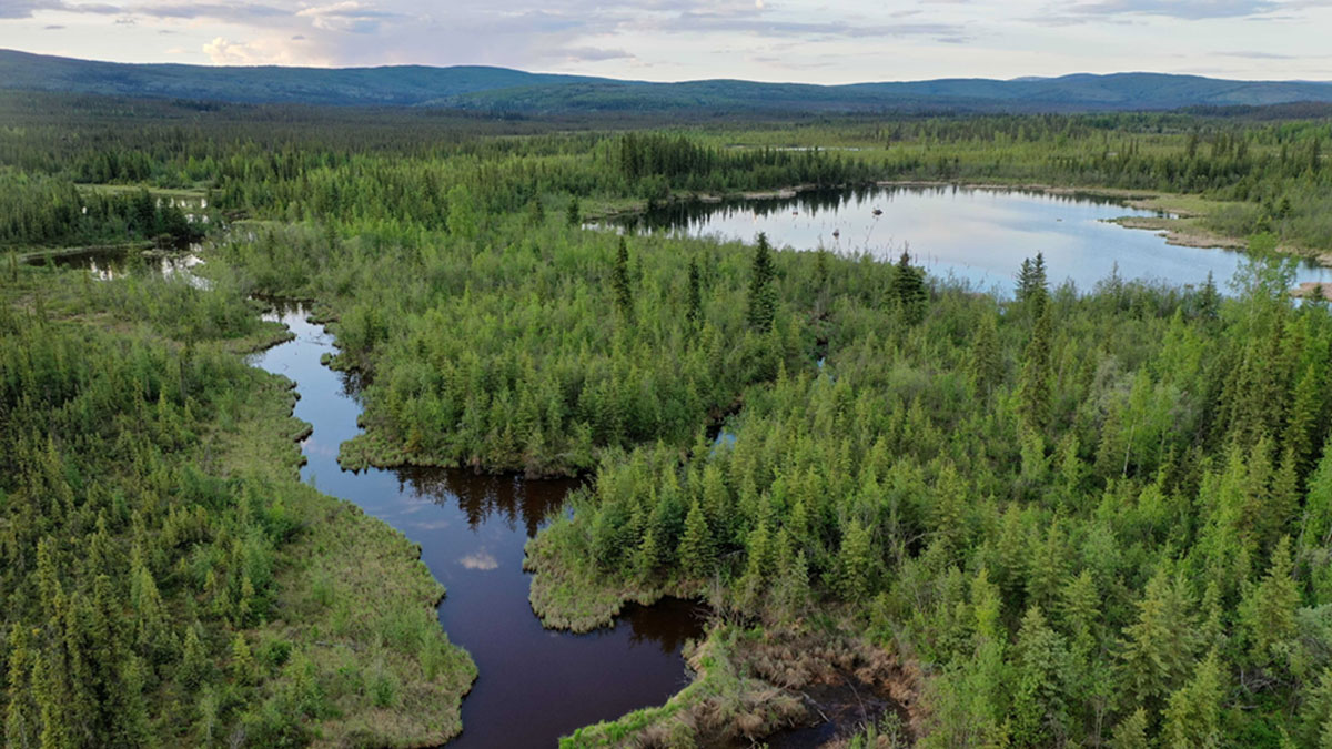
Hunting for Methane Hot Spots at the Top of the World
A visit to an Alaskan wetland with some of the world’s highest lake marsh methane emissions brings scientists one step closer to understanding the phenomenon.

Posted inNews
Tornadoes’ Fastest Winds Howl Close to the Ground
Radar data from storm-tracking scientists reveal that twisters’ winds churn 30% faster near Earth’s surface than above 100 meters, where measurements usually are taken.
Posted inNews
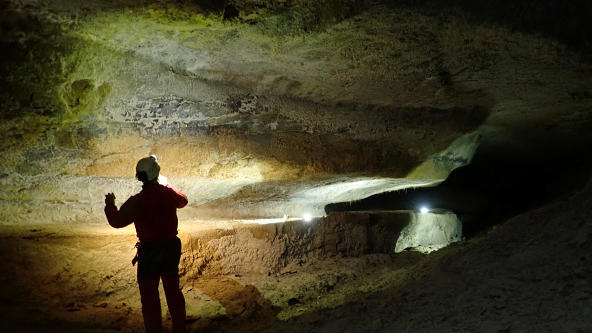
Searching for the Sculptor of France’s Caves
Spelunking scientists searched for the original source of the French Pyrenees’ magnificent caves.

Posted inENGAGE, News
“Icefin” Investigates a Glacial Underbelly
An instrument-laden submersible reveals where—and how rapidly—the Antarctic glacier is melting.
Posted inScience Updates
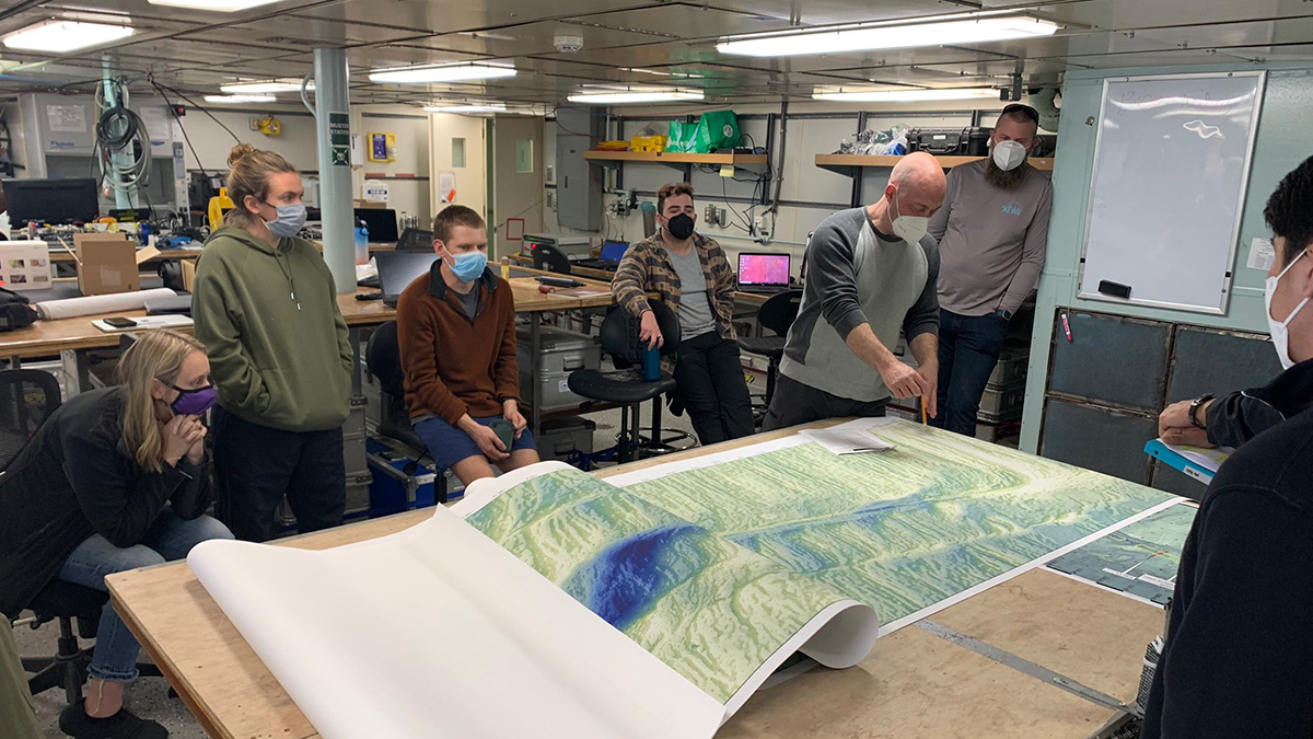
Observing a Seismic Cycle at Sea
Scientists organized a trio of expeditions to document the buildup of stress leading to a large earthquake on a seafloor fault, developing innovations for successful seagoing research in the process.
Posted inNews
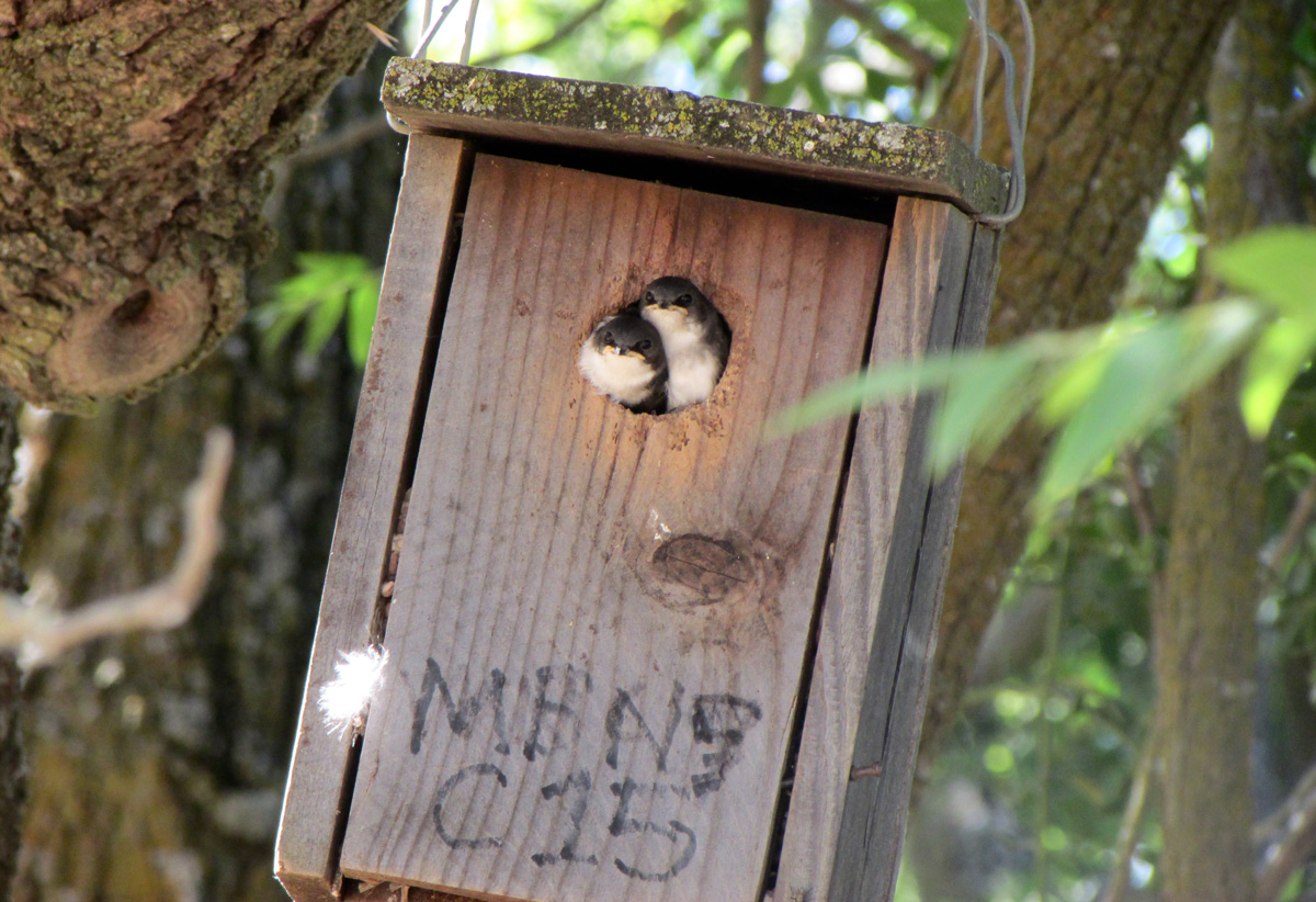
Climate Extremes Threaten California’s Central Valley Songbirds
A “nestbox highway” in California’s Central Valley is guiding songbirds to safe nesting sites and giving scientists a peek at fledgling success in a changing climate.

Posted inFeatures
Baked Contacts Focus a Lens on Ancient Lava Flows
Two studies, conducted 40 years apart, show how combining field observations and thermal modeling can reconstruct the history of massive lava flows and how they altered the surrounding landscape.