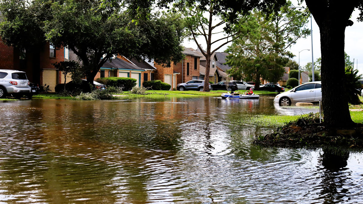
Wetlands protect communities and ecosystems from flooding. A new study quantifies their financial importance.
Florida
Posted inNews
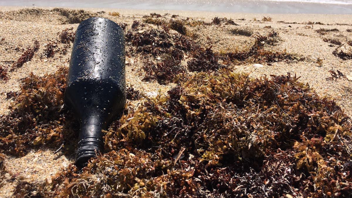
Plastic Debris Helps Oil Residues Reach Farther Across the Ocean
Scientists matched oil residues found in Florida to a Brazilian spill thousands of miles away.

Posted inNews
Shallow Injection Imperfectly Filters Florida Wastewater
Injection of wastewater into shallow wells is meant to filter nutrients like nitrogen and phosphorus out of the wastewater. But a new study suggests that nutrients aren’t entirely eliminated—and may be polluting coastal waters.
Posted inResearch & Developments
Environmental Groups Sue to Block Everglades Detention Facility
The groups assert that the facility will undermine decades’ of work and billions of dollars spent restoring and protecting the Everglades’ delicate ecosystem.
Posted inNews
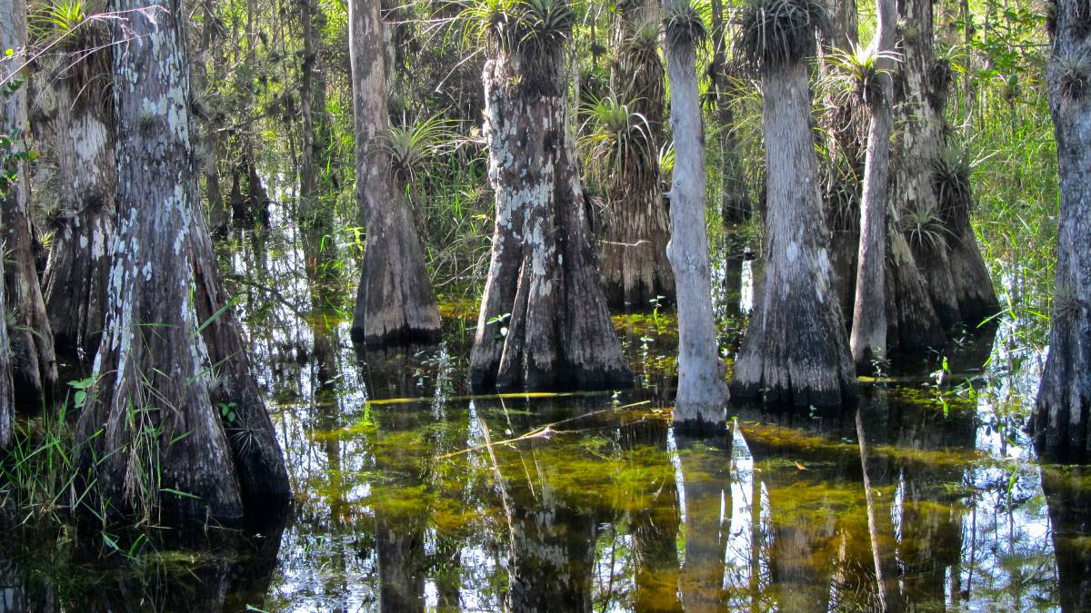
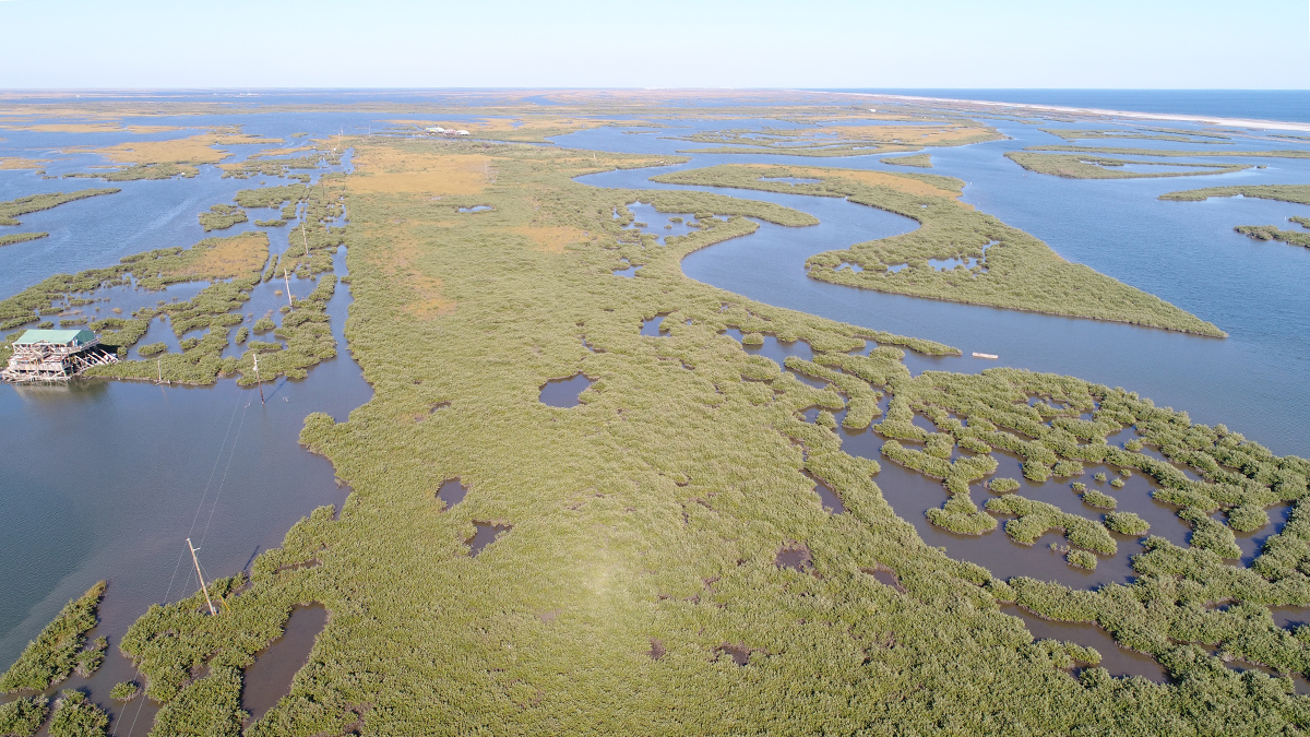
Hurricanes May Prune Gulf Mangroves
Tropical storms knock down the tallest trees and stunt the growth of others.

Posted inResearch Spotlights
La química del agua somera podría hacer a los arrecifes más resistente a la acidificación del océano
Estudios de los Cayos de Florida revelan variaciones geográficas y temporales en los efectos de la acidificación en corales.

Posted inAGU News
States of Mind
Regional programs offer models of success in science education and policy.
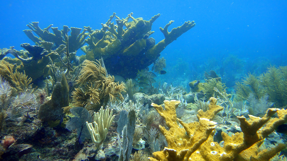
Posted inResearch Spotlights
Shallow Seawater Chemistry May Make Reefs More Resistant to Ocean Acidification
Research from the Florida Keys reveals geographic and seasonal variation in the effects of acidification on corals.

Posted inScience Updates
A Regional Ecosystem That Helps Undergraduate Research Flourish
A statewide approach to supporting undergraduate research in Florida offers valuable opportunities for students to showcase their work beyond campus—and a model for other regions to replicate.

Posted inFeatures
Hunting Hurricanes
NOAA’s Hurricane Hunters risk their lives each time they fly into the eye of a storm to collect crucial data for forecasting, hurricane modeling, and research.