• About
  • Special Reports
  • Topics
    • Climate
    • Earth Science
    • Oceans
    • Space & Planets
    • Health & Ecosystems
    • Culture & Policy
    • Education & Careers
    • Opinions
  • Projects
    • Postcards From the Field
    • ENGAGE
    • Editors’ Highlights
    • Editors’ Vox
    • Eos en Español
    • Eos 简体中文版
    • Print Archive: 2015–2025
  • Policy Tracker
  • Blogs
    • Research & Developments
    • The Landslide Blog
  • Newsletter
  • Submit to Eos
  • AGU.org
  • Career Center
  • Join AGU
  • Give to AGU
  • About
  • Special Reports
  • Topics
    • Climate
    • Earth Science
    • Oceans
    • Space & Planets
    • Health & Ecosystems
    • Culture & Policy
    • Education & Careers
    • Opinions
  • Projects
    • Postcards From the Field
    • ENGAGE
    • Editors’ Highlights
    • Editors’ Vox
    • Eos en Español
    • Eos 简体中文版
    • Print Archive: 2015–2025
  • Policy Tracker
  • Blogs
    • Research & Developments
    • The Landslide Blog
  • Newsletter
  • Submit to Eos
Skip to content
  • AGU.org
  • Career Center
  • Join AGU
  • Give to AGU
Eos

Eos

Science News by AGU

Support Eos
Sign Up for Newsletter
  • About
  • Special Reports
  • Topics
    • Climate
    • Earth Science
    • Oceans
    • Space & Planets
    • Health & Ecosystems
    • Culture & Policy
    • Education & Careers
    • Opinions
  • Projects
    • Postcards From the Field
    • ENGAGE
    • Editors’ Highlights
    • Editors’ Vox
    • Eos en Español
    • Eos 简体中文版
    • Print Archive: 2015–2025
  • Policy Tracker
  • Blogs
    • Research & Developments
    • The Landslide Blog
  • Newsletter
  • Submit to Eos

Hazards & Disasters

Earthquakes, like two that struck Kumamoto, Japan, within 28 hours in April 2016, cause varying levels of damage to buildings
Posted inNews

Damage Assessment by Laser Could Focus Postearthquake Response

by L. G. Shields 6 February 20189 December 2022

Airborne lidar surveys taken before and after a powerful 2016 earthquake in Japan revealed the potential for such surveys to identify hard-hit buildings quickly. 

The physical properties of peatland burn sites affect the amount of greenhouse gases that end up in the atmosphere
Posted inResearch Spotlights

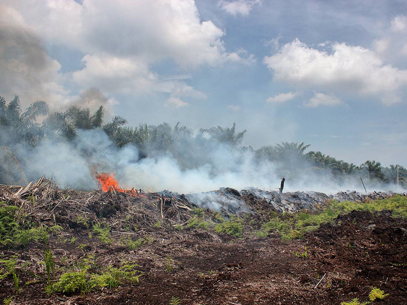
Measuring Emissions from Smoldering Peat Fires

Alexandra Branscombe by A. Branscombe 1 February 20182 November 2021

A new study measures emission factors for tropical peatland fires in Malaysia.
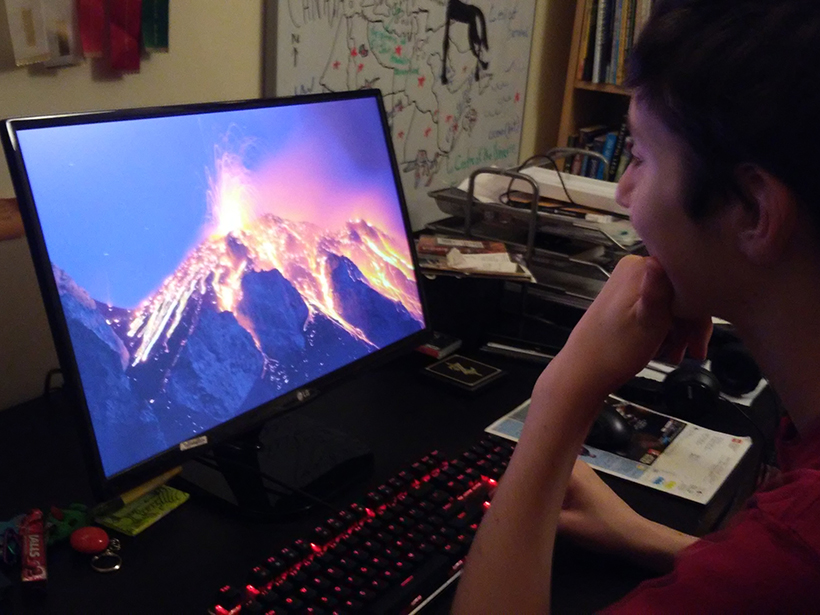
MOOC participants all over the world learn about natural disasters.
Posted inScience Updates

A New Massive Open Online Course on Natural Disasters

by J. Stix, J. Gyakum, K. Caissy, A. Guadagno, A. Steeves-Fuentes, W. W. Yan, F. Roop, P.-A. Vungoc, C. Walker, A. Finkelstein and L. Winer 1 February 201812 December 2022

Two professors put their college course online. Enrollment jumped more than 20-fold, and a forum for exchanging ideas with a multigenerational international community was born.
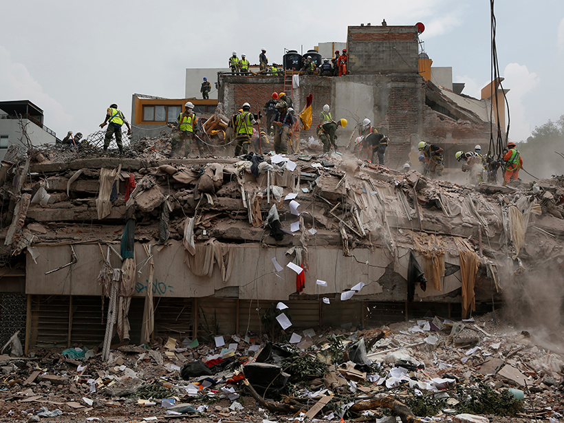
Workers in Mexico City search for survivors after a magnitude 7.1 earthquake shook on 19 September 2017.
Posted inNews

Were Mexico’s September Quakes Chance or a Chain Reaction?

by R. Skibba 30 January 20189 May 2023

Last year, two major earthquakes—one 12 days after the first—shook Mexico. New analysis blames this very unlikely event on chance. But one of the pair may have triggered a third large nearby temblor.
Posted inEditors' Highlights

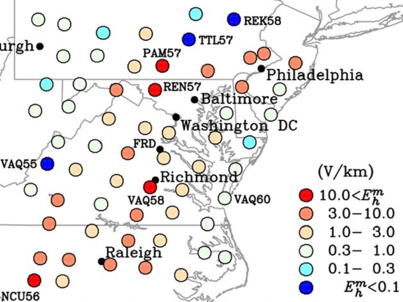
Mapping Extreme-Value Geoelectric Fields

by Gang Lu 25 January 201813 April 2022

To help mitigate magnetic storm interference on electric power grid operations, extreme-value geoelectric fields have been mapped across the mid-Atlantic United States.
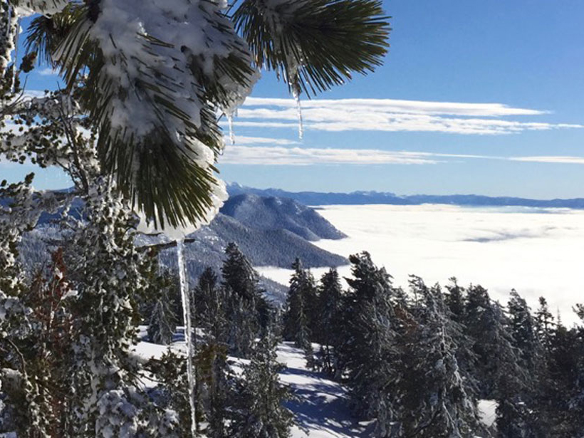
New modeling analyzes how snow affects the intensity of mountain precipitation in a changing climate
Posted inResearch Spotlights

How Does Snow Affect the Intensity of Mountain Precipitation?

by Terri Cook 24 January 20186 February 2023

A new investigation into the sensitivity of extreme precipitation in a changing climate indicates that more winter rainfall and protracted snowmelt may require local adaptations to winter flooding impacts.
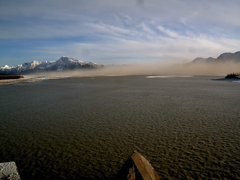
Dust cloud over Copper River Valley in Alaska
Posted inScience Updates

Assessing the Many Influences of High-Latitude Dust

by S. Gassó, T. Thorsteinsson and C. McKenna-Neuman 23 January 201824 February 2022

First International Conference on High Latitude Cold Climate Dust (HLCCD); Reykjavík, Iceland, 22–25 May 2017
Posted inEditors' Vox

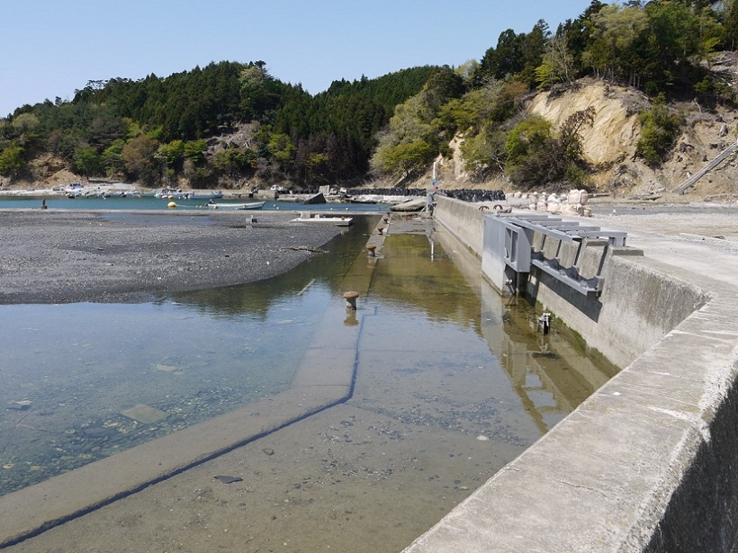
Modeling Megathrust Zones

by R. Govers 22 January 201811 May 2022

A recent paper in Review of Geophysics built a unifying model to predict the surface characteristics of large earthquakes.
Posted inEditors' Vox

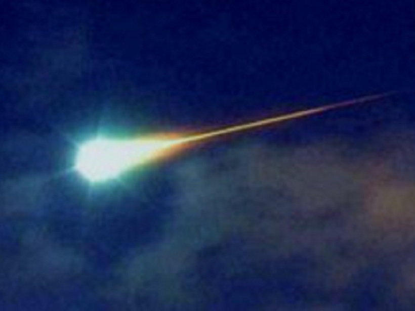
Airborne Fireball

by Michael W. Liemohn 19 January 201821 October 2021

A surprise sighting of a meteor in the sky above southeast Michigan.

Researchers catalog more than 37,000 small earthquakes to see the bigger picture of seismicity along Italy’s Altotiberina fault.
Posted inResearch Spotlights

Scientists Create Catalog of Altotiberina Fault in Italy

by David Shultz 19 January 20186 October 2021

More than 37,000 small earthquakes paint a picture of the fault’s behavior and seismic potential.

Posts pagination

Newer posts 1 … 142 143 144 145 146 … 184 Older posts
Over a dark blue-green square appear the words Special Report: The State of the Science 1 Year On.

Features from AGU Publications

Research Spotlights

In Alaska, Wildfires Help Prevent Future Burns. Will That Feedback Loop Hold?

24 September 202624 September 2026
Editors' Highlights

Seasonality is Changing for Extreme Dry and Humid Heat Events 

18 September 202617 September 2026
Editors' Vox

In Appreciation of AGU’s Outstanding Reviewers of 2025

14 September 202610 September 2026
Eos logo at left; AGU logo at right

About Eos
ENGAGE
Awards
Contact

Advertise
Submit
Career Center
Sitemap

© 2026 American Geophysical Union. All rights reserved Powered by Newspack