
By studying the Chicxulub crater associated with the extinction of more than 75% of species then on Earth, researchers have begun to fill in a timeline for life’s rebound after the cataclysm.
Hazards & Disasters

Posted inResearch Spotlights
Mapping a Valparaíso Earthquake from Foreshock to Aftershock
Using seismic data recorded along the Chilean coast, scientists retrace the development of a recent earthquake.

Posted inNews
Weight of Water Dropped by Hurricane Harvey Flexed Earth’s Crust
The precipitation that fell during the storm depressed the ground in parts of Texas, Louisiana, Arkansas, and Mississippi by as much as 1.8 centimeters in some places.
Posted inResearch Spotlights
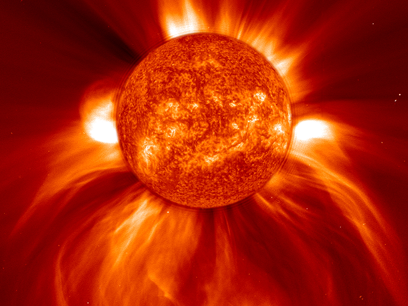
A Better Way to Predict Space Storms
A new model of solar winds could reduce false alarms.

Posted inNews
Sea Level Rise May Swamp Many Coastal U.S. Sewage Plants
Cities typically build wastewater treatment facilities in low-lying areas. A new national study identifies which plants are most vulnerable to coastal flooding.

Posted inNews
Hurricanes Expose Vulnerabilities in Puerto Rico Seismic Network
Could overreliance on cell networks to transmit data leave instruments in the dark after the next storm hits?
Posted inNews
Offshore Islands Might Not Shield Coastlines from Tsunami Waves
Rather than offering protection, islands sometimes cause increased wave run-up on shorelines, experiments in a wave laboratory suggest.

Posted inNews
New Model Predicts Lightning Strikes; Alert System to Follow
Data from thousands of past storms help guide a new forecast model that predicts where and when lightning may hit.

Posted inNews
Group Touts “Beneficial” Coal Ash Recycling
An industry group says recycling coal ash, the second-largest U.S. waste stream, helps the environment and economy. Recycling has a role but also raises concerns, environmentalists argue.
Posted inNews
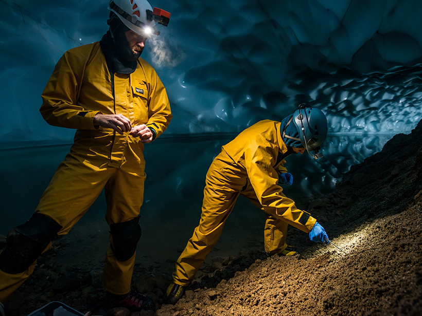
Ice Caves atop a Volcano Give Taste of Otherworldly Science
Researchers brave perils and tumbling trash to probe glacial caves on Mount Rainier, improving their understanding of its extraordinary environment and helping to advance space exploration.