
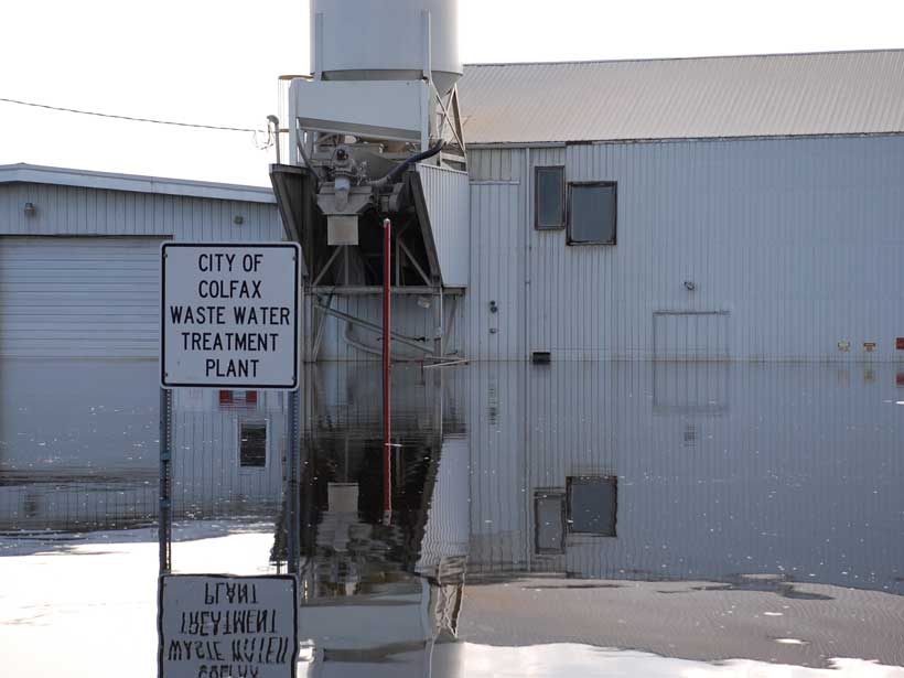
Untreated sewage could affect 5 times more people than direct flooding, a new study shows.
Hazards & Disasters

Posted inResearch Spotlights
Improving Tropical Cyclone Predictions in the Gulf of Mexico

The National Oceanic and Atmospheric Administration’s newest High Resolution Atmospheric Model captures the influence of intraseasonal oscillations on tropical cyclone activity.

Posted inResearch Spotlights
Understanding the Effects of Anthropogenic Space Weather
A large plasma hole generated by the vertical launch of the Formosat-5 satellite created temporary navigating and positioning errors of up to 1 meter, according to a new study.

Posted inResearch Spotlights
Harnessing Remote Infrasound to Study Volcanic Eruptions
Data from the 2015 eruption of Chile’s Calbuco volcano suggest the international network built to monitor nuclear explosions may also be used to detect and characterize volcanic activity.
Posted inResearch Spotlights
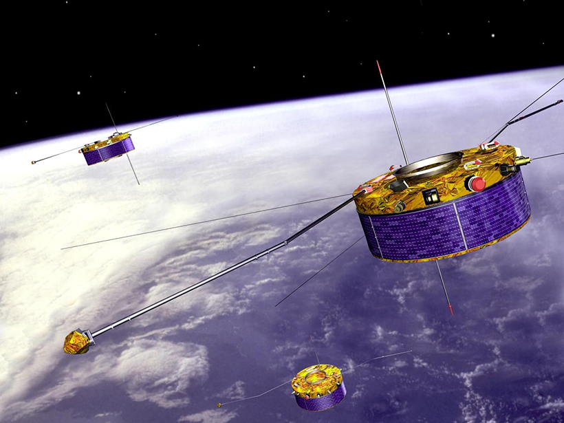
How Space Storms Affect the Satellite Superhighway
A powerful numerical model reveals how space weather disturbs magnetic field at geosynchronous orbit.

Posted inNews
New Simulation Supports Chicxulub Impact Scenario

Mountains ringing the center of Earth’s most famous impact crater consist of porous rocks. Computer models of the impact can now predict those rocks’ microstructure.
Posted inNews
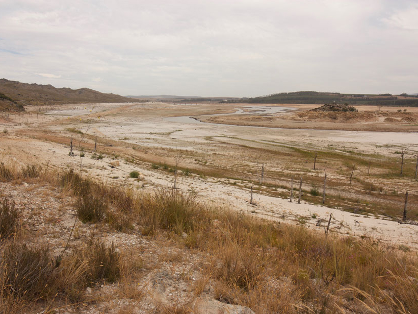
Will Cape Town Escape Its Water-Starved Fate?

Despite ramped-up conservation efforts and hopes lifted by a few recent rainstorms, residents of the South African metropolis still face the possibility of a water doomsday.
Posted inResearch Spotlights
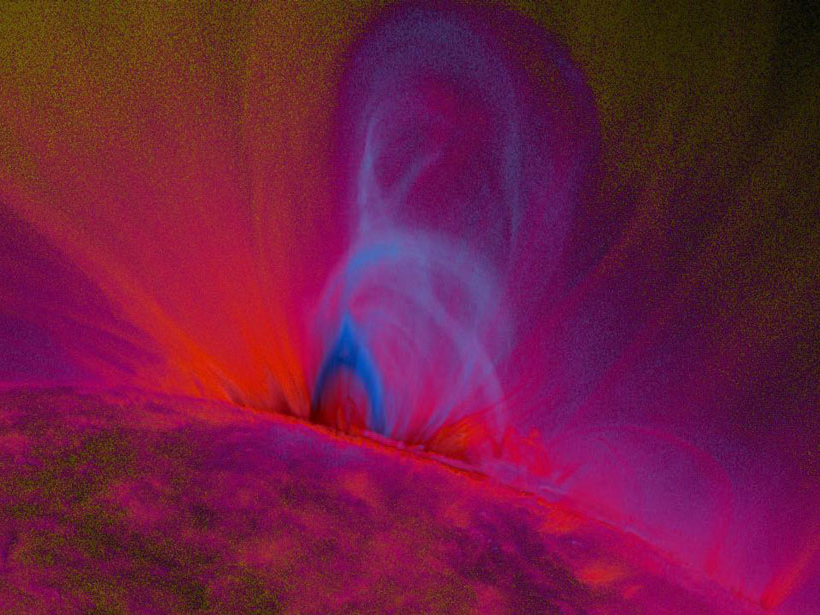
Capturing Structural Changes of Solar Blasts en Route to Earth

Comparison of magnetic field structures for 20 coronal mass ejections at eruption versus Earth arrival highlights the importance of tracking structural evolution to refine space weather predictions.

Posted inResearch Spotlights
How Fast Is the Nile Delta Sinking?
New study calculates the delta’s subsidence on the basis of satellite data.

Posted inScience Updates
How Paleofire Research Can Better Inform Ecosystem Management
Global Paleofire Working Group 2: Paleofire Knowledge for Current and Future Ecosystem Management; Saint-Hippolyte, Quebec, Canada, 10–14 October 2017