
A National Academies report highlights challenges and opportunities in volcano science.
Hazards & Disasters
Posted inScience Updates
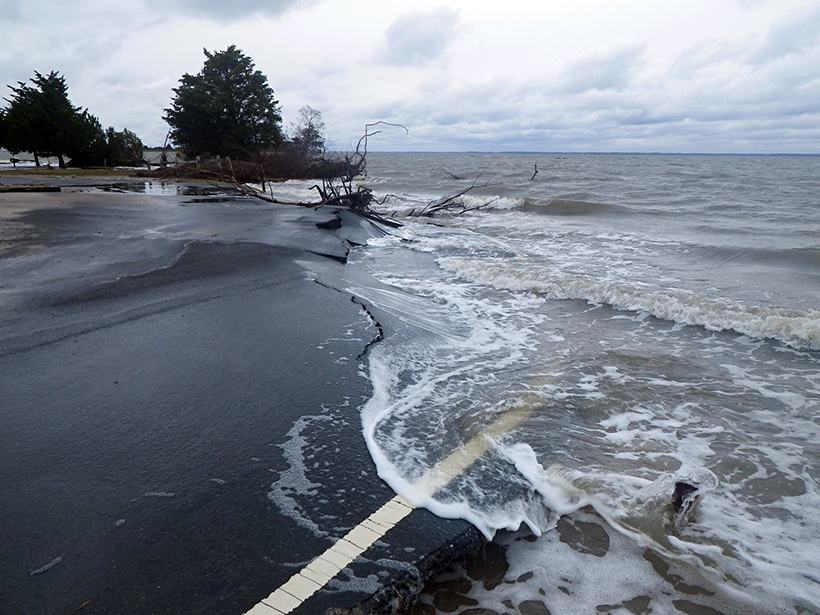
Sea Level 2017 Conference Looks to Coastal Sea Level Rise Impact
International World Climate Research Programme/Intergovernmental Oceanographic Commission (WCRP/IOC) Open Science Conference on Regional Sea Level Rise and Its Impacts; New York, New York, 10–14 July 2017
Posted inResearch Spotlights
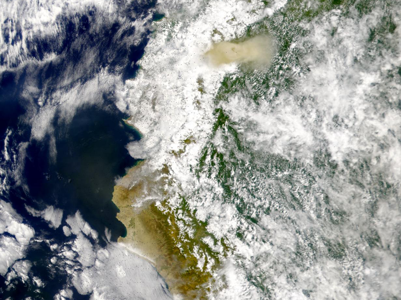
Using Radar to Understand How Volcanic Eruptions Evolve
Radar satellite imagery can be used to measure constructional changes in the topography of long-lived volcanoes, according to a new study of Ecuador’s El Reventador volcano.

Posted inEditors' Vox
Probability Analysis Improves Hazard Assessment
A recent paper in Reviews of Geophysics describes a probabilistic method for evaluating tsunami location, size, and risk to human populations.

Posted inResearch Spotlights
What Feeds Indonesia’s Destructive Mud Eruption?
New advances in seismic investigations suggest links in plumbing between nearby magma volcanoes and a mud-erupting system that has been spewing for more than a decade.

Posted inResearch Spotlights
The Curious Case of the Ultradeep 2015 Ogasawara Earthquake
Unusual ground motion associated with the deepest major earthquake in the seismological record is due to both its great depth and its origin away from the subducting slab.
Posted inResearch Spotlights
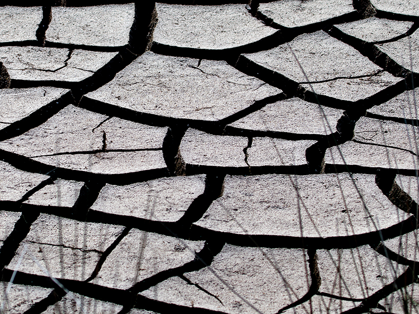
Humans to Blame for Higher Drought Risk in Some Regions
New observations and analysis dispel remaining doubts that anthropogenic climate change is expanding dry areas in northern midlatitudes.

Posted inNews
Modern Chemicals from Mystery Source Taint Fish in Utah Lake
Utah Lake’s fish contain high levels of a potential carcinogen. Could removing some bottom-feeders reduce this contamination?

Posted inNews
Advanced Satellite Tracks Air Pollution in Extraordinary Detail
The unparalleled resolution of the European Space Agency’s Sentinel-5P’s spectrometer will allow scientists to pinpoint pollution sources, the agency reports.
Posted inScience Updates
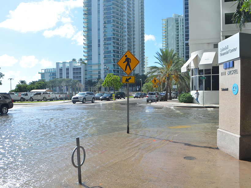
Integrating Water Science and Culture for Urban Sustainability
Workshop on Water and Environmental Global Challenges: International Water Infrastructures and Security; Miami, Florida, 23–25 May 2017