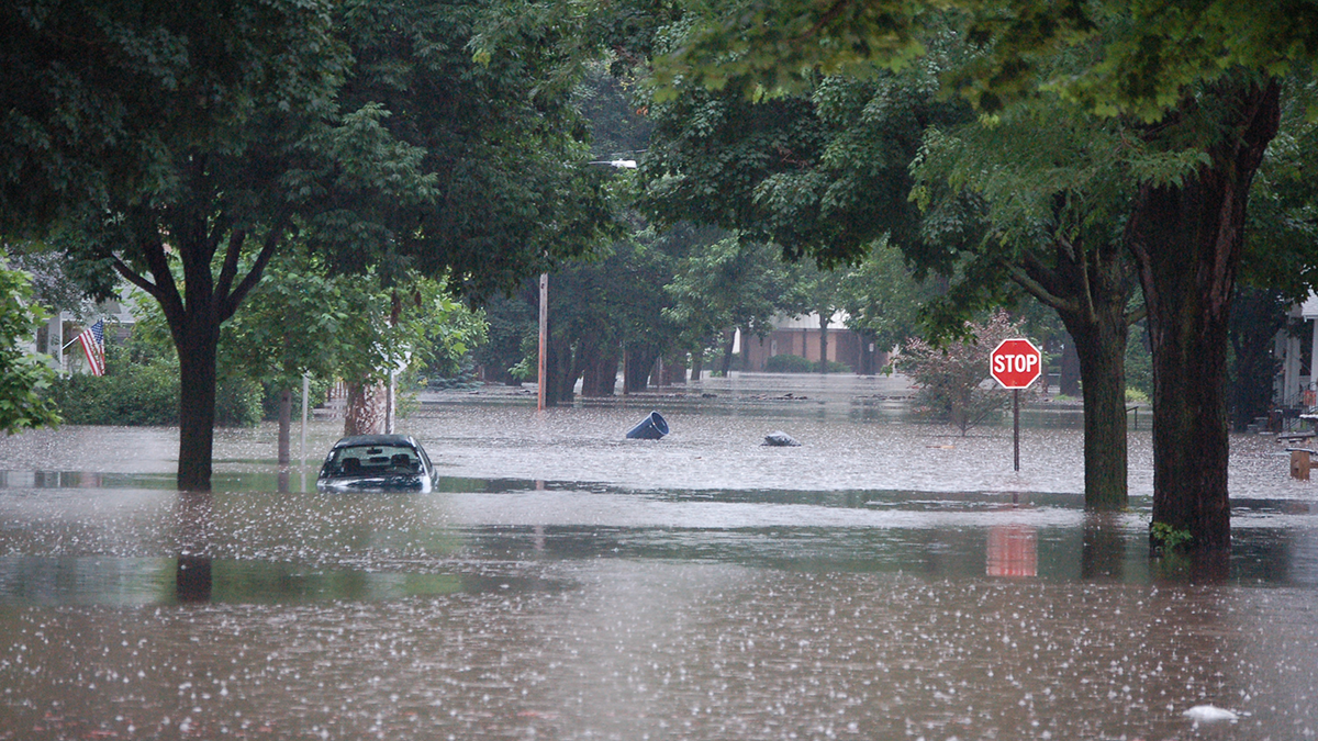
To enhance flood modeling, it is imperative to gain a comprehensive understanding of the causative mechanisms and cutting-edge models and tools, while also acknowledging their uncertainties.
Hazards & Disasters

Posted inEditors' Highlights
A New Workflow to Image the 3D Structure of Active Faults
A new approach to illuminate 3D fault structures using earthquake hypocenters may improve our understanding of earthquake propagation and arrest across step overs.
Posted inEditors' Highlights
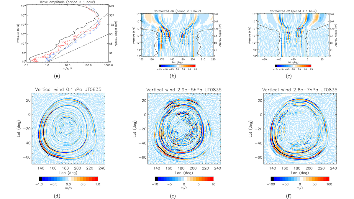
Modeling Whole Atmosphere Responses to the Hunga-Tonga Eruption
A high-resolution whole atmosphere simulation captures the strong, global responses up to the thermosphere and ionosphere following the Hunga-Tonga volcano eruption.
Posted inEditors' Highlights
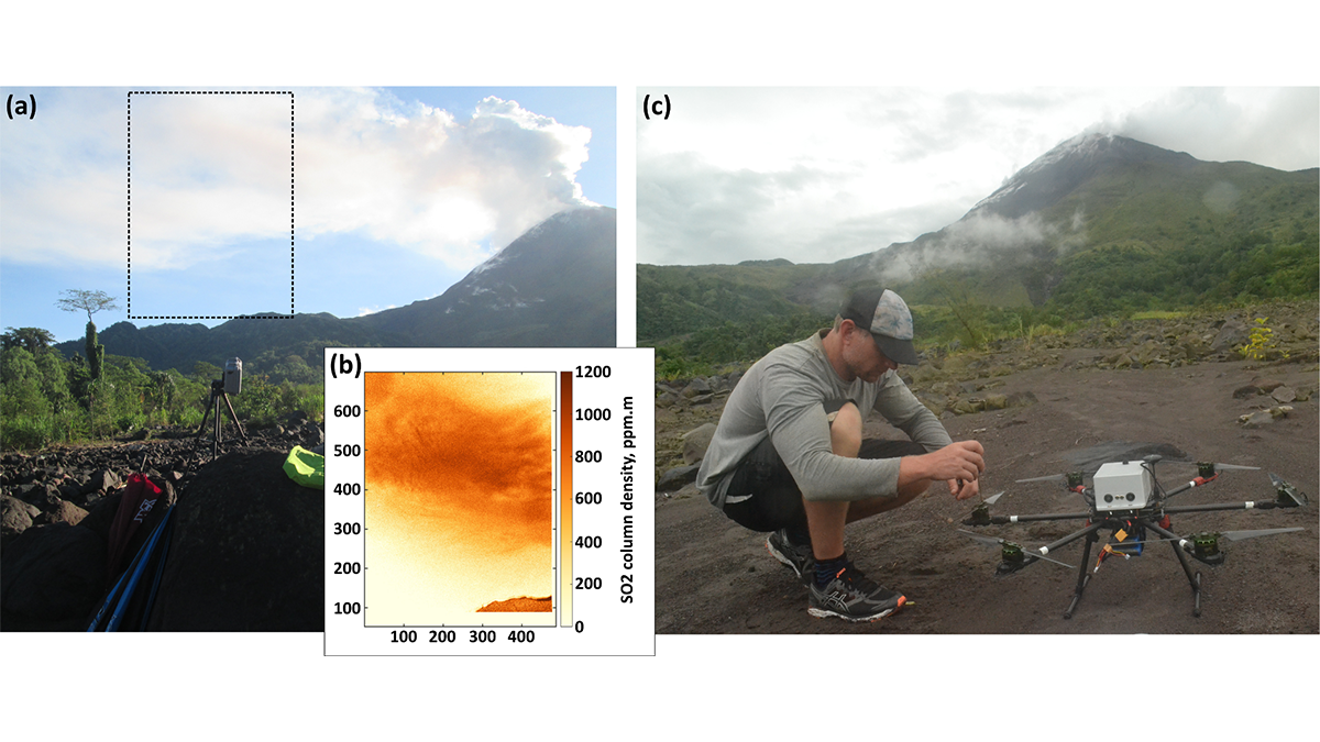
Send in the Drones: Safely Monitoring Volcanic Gas Emissions
New drone technology was combined with satellite and ground-based data to improve volcanic gas flux monitoring at the remote Bagana Volcano in Papua New Guinea.

Posted inNews
Flash Droughts Are Getting Flashier
Warming temperatures and less rain are causing flash droughts to develop more quickly and strike more often.

Posted inNews
Ancient Victims of Vesuvius May Have Baked in a Cloud of Ash
Debate still swirls around what killed ancient Romans during the 79 CE eruption. A study of wood charred by the event suggests a brief, but searing, flow of volcanic gas and debris.
Posted inEditors' Highlights
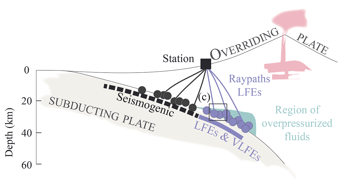
Are Low-Frequency Earthquakes Just Slow Slip?
Tests of seismic attenuation show fluid saturation and high pressure near a seismic source reduce high-frequency content, challenging the idea of slow slip as the cause of low-frequency earthquakes.

Posted inNews
Concientizando sobre los riesgos a las faldas de uno de los volcanes más peligrosos del mundo
A la sombra de una erupción letal en el 2021, estudiantes en Goma, República Democrática del Congo, están aprendiendo sobre futuros riesgos.
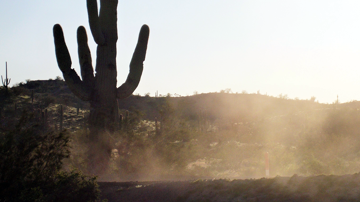
Posted inEditors' Vox
Danger in the Dust! The Hazards of Windblown Dust
Airborne dust not only causes disease, it also menaces transportation on land, sea, and air; disrupts renewable energy systems; transports pathogens and toxic substances; and poses many other hazards.

Posted inNews
Outlook: Normal Atlantic Hurricane Season Expected
Atmospheric and oceanic features are simultaneously strengthening and suppressing hurricane activity this year.