The Landslide Blog is written by Dave Petley, who is widely recognized as a world leader in the study and management of landslides. There are some reports today that another mining related landslide occurred in the Morowali area of Indonesia yesterday. There are few details in media reports, but videos have been posted that appear […]
Indonesia

Posted inEditors' Highlights
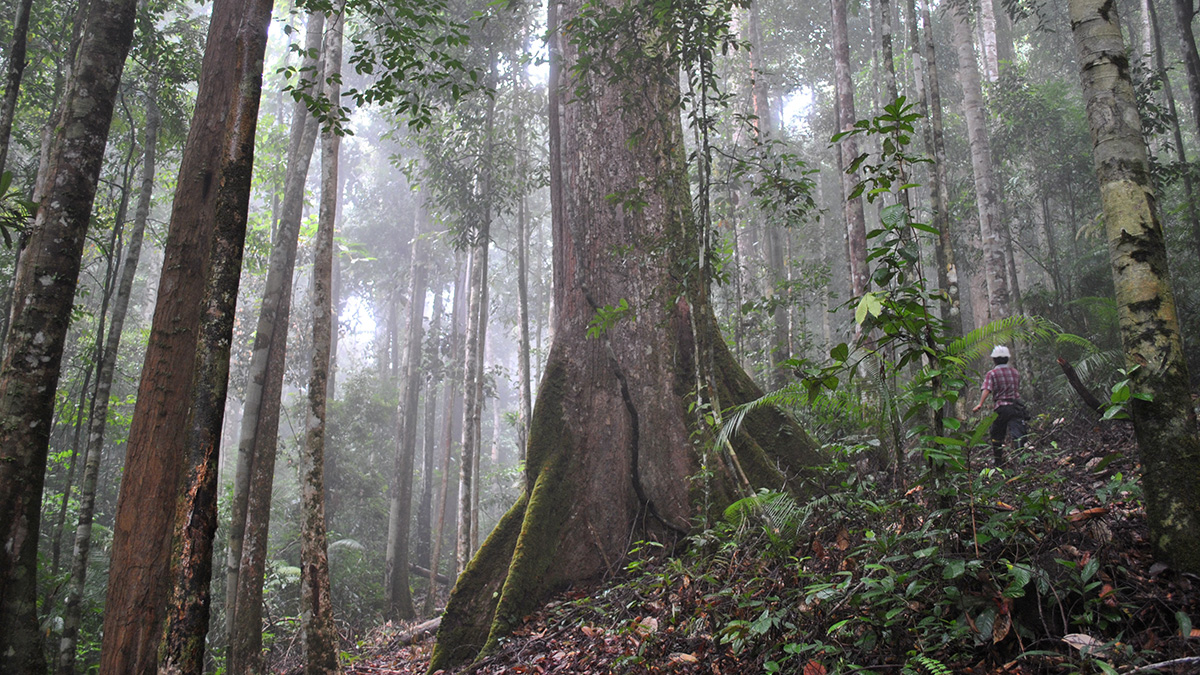
Peatland Plantations in Southeast Asia are Carbon Hotspots
A new study reports a rare set of data on greenhouse gas production and transport for a tropical peatland plantation showing exceptionally high concentrations of dissolved organic carbon.

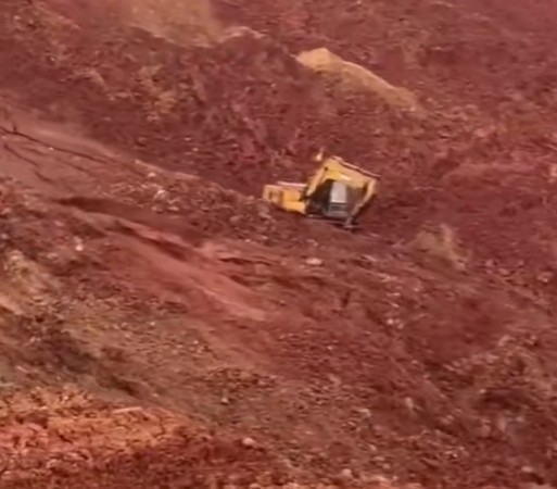
Posted inThe Landslide Blog
A fatal tailings landslide at Fatufia in Sulawesi in Indonesia
The Landslide Blog is written by Dave Petley, who is widely recognized as a world leader in the study and management of landslides. With many thanks to a loyal reader for highlighting the issue, there is the sad news this morning of yet another tailings landslide. The event occurred early on Saturday morning, 22 March […]

Posted inNews
Road Development May Put Habitats at Risk
New research links road construction with increased urbanization and more fragmented species ranges.

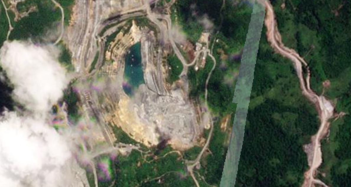
Posted inThe Landslide Blog
Drone footage of the 6 July 2024 mining landslide at Tulabolo in Sulawesi
The Landslide Blog is written by Dave Petley, who is widely recognized as a world leader in the study and management of landslides. On 6 July 2024, a landslide struck a mining community located at Tulabolo, which is in the Bone Bolango district of Gorontalo province, Sulawesi, Indonesia. Recovery operations continue at the landslide site, […]
Posted inThe Landslide Blog
A significant landslide in a mine at Araren in Toka Tindung gold mining area, Indonesia
The Landslide Blog is written by Dave Petley, who is widely recognized as a world leader in the study and management of landslides. A low key announcement made in Indonesia yesterday caught y attention this morning. It was made by PT Archi Indonesia Tbk (ARCI), a listed mining company, about two gold mine areas run […]

Posted inEditors' Highlights
Earthquakes Have Preparatory Stage Years Before Rupture
Tidally induced seismicity increased locally before the 2019 Ridgecrest earthquake, suggesting that fault sensitivity to stress increases in the years immediately before large earthquakes.

Posted inNews
Établir une carte d’identité du bois pour freiner la déforestation illégale
Des chercheurs ont créé un nouvel outil d’analyse pour améliorer la traçabilité du bois qui pourrait permettre d’appliquer la législation de l’Union européenne visant à lutter contre la déforestation.
Posted inNews
Fingerprinting Wood to Curb Illegal Deforestation
Researchers developed a new forensic tool for tracing the origins of timber that could enable enforcement of antideforestation legislation in the European Union.
Posted inNews
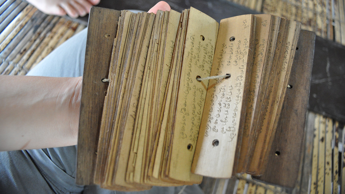
Stories Scribed on Palm Leaves Help Scientists Understand Ancient Eruption
Deposits from the 1257 Samalas eruption may contain artifacts of an ancient kingdom, according to scientists who link volcanology studies with histories written onto palm leaves.