
Researchers use a closed-loop modeling strategy to validate regional uplift patterns recorded in river profiles across the African continent.
Journal of Geophysical Research: Earth Surface

Posted inEditors' Highlights
Grain Scale Dynamics During Barchan-Barchan Interactions
A new study pinpoints grain scale dynamics during binary interactions between barchan dunes.
Posted inEditors' Highlights
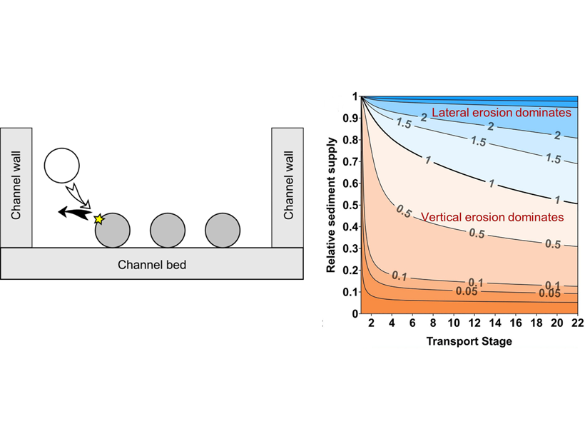
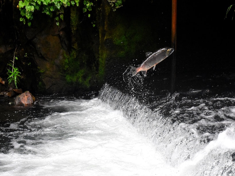
Impacts by Moving Gravel Cause River Channels to Widen or Narrow
A new analytical model describes how the amount and grain size of sediment transported by rivers influences bedrock channel width, which can be used to predict where rivers will widen or narrow.
Posted inEditors' Highlights
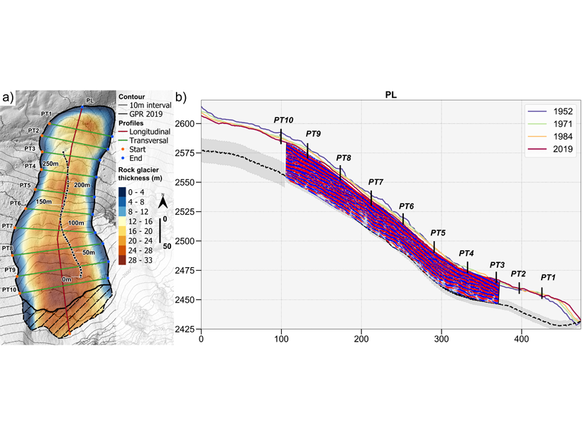
Revealing How Rock Glaciers Respond to Climate Change
Detailed measurements of the geometry and flow of Laurichard rock glacier over 67 years reveal the distinctive behavior of these landforms through periods of warming and cooling.

Posted inEditors' Highlights
A New Model for Self-Organized Pattern Formation
Scale-dependent feedbacks in time, rather than in space, result in a new type of competition, explaining the regularly patterned landscape of Big Cypress National Preserve in South Florida.
Posted inResearch Spotlights
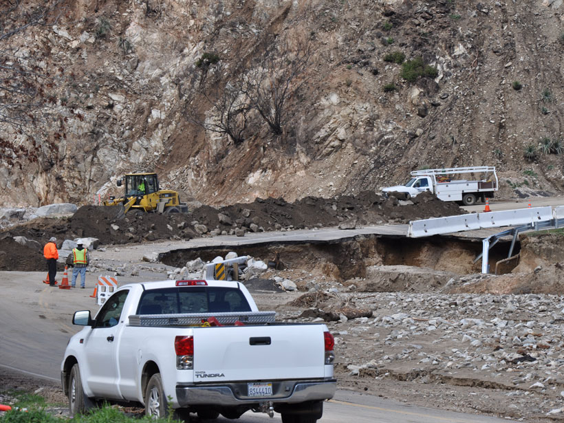
The Wildfire One-Two: First the Burn, Then the Landslides
Severe wildfires strip away plant cover and reduce the soil’s ability to hold water. A new study develops a model to better understand landslide risk following a burn.

Posted inEditors' Highlights
Thickness and Strength of Slow-moving Landslides Revealed
Hundreds of slow-moving landslides’ deformation patterns were inverted to obtain their thickness and frictional strength, revealing that larger landslides are weaker and thinner than smaller ones.

Posted inResearch Spotlights
Predicting the Next Big Frost Quake
Frost quakes occur in boreal regions when rapidly expanding ice underground causes frozen soils to fracture. A recent frost quake in Finland has given scientists a rare look into how they form.
Posted inResearch Spotlights
Experimenting with Underwater Sediment Slides
Sediment-laden currents caused by breaching flow slides are hazardous to flood defenses and seabed infrastructure. New research shows that these phenomena must be accounted for in erosion simulations.
Posted inResearch Spotlights
How River Capture Affects the Evolution of Aquatic Organisms
River basins are dynamic environments that are always changing and reorganizing under geologic forces. New research investigates how this shape shifting influences aquatic speciation and extinction.