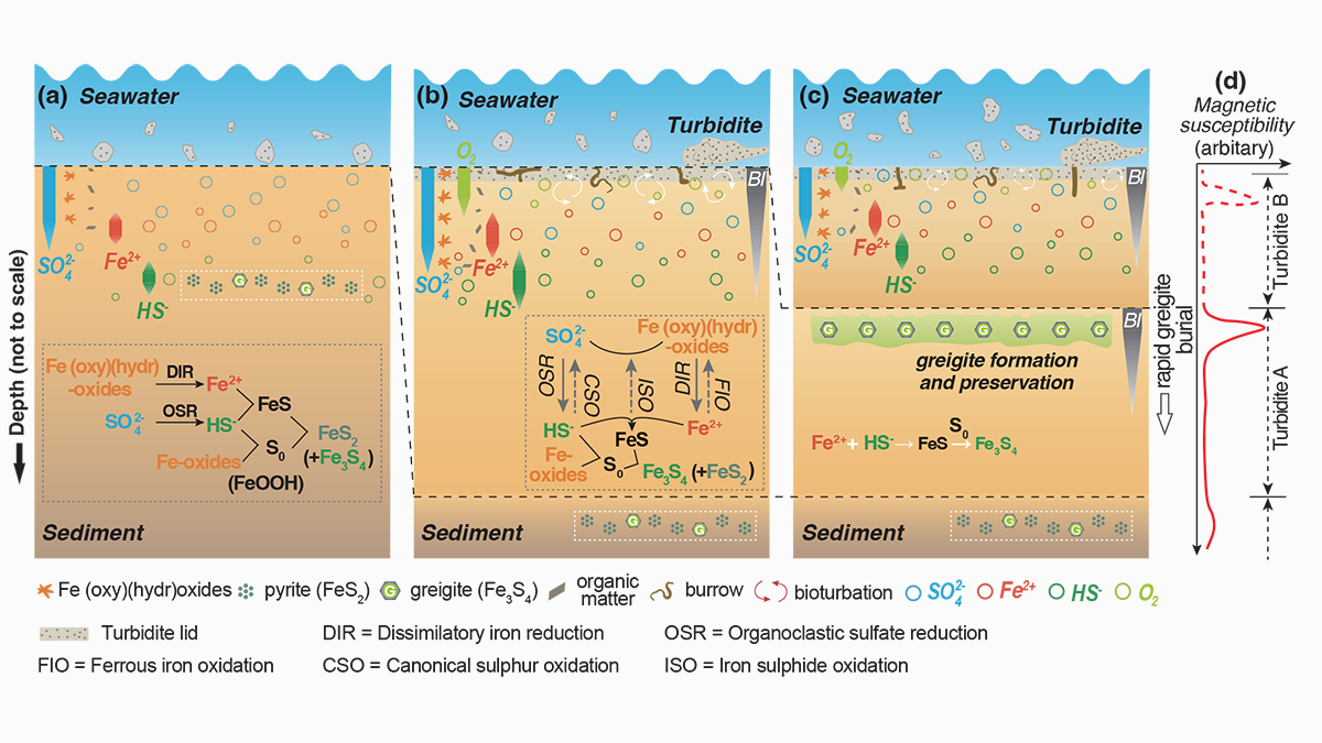
Understanding greigite formation pathways in sediments is a prerequisite for assessing the marine iron-sulfur-carbon cycle and yield reliable near-syn-sedimentary paleomagnetic records.
Journal of Geophysical Research: Solid Earth

Posted inEditors' Highlights
Tracing Oxidizing Slab Fluids in Cold Volcanic Arcs
Elevated copper isotope ratios in arc magmas from fluid-rich cold subduction zones support the role of oxidizing fluids from the subducted lithospheric serpentinite in the oxidization of arc magmas.

Posted inEditors' Highlights
Can Anelastic Attenuation of Oceanic Mantle be Reliably Measured?
A new study demonstrates that robust anelastic attenuation measurements can be made across ocean bottom seismic arrays at different locations using surface wave array analysis.

Posted inResearch Spotlights
A Better Operational Lava Flow Model
By segmenting the vertical structure of a lava flow, the Lava2d model provides more realism to operational lava forecasts.
Posted inEditors' Highlights
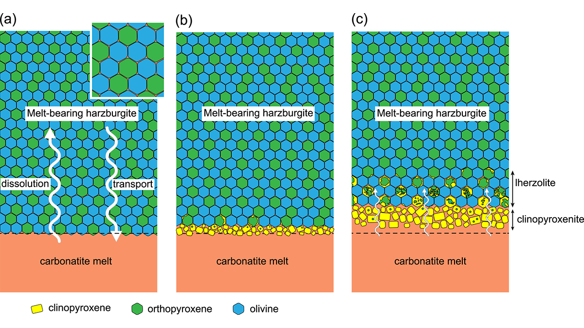
Why is the North China Craton Vulnerable to Destruction?
A new study suggests that carbonatite metasomatism, not silicate metasomatism as previously thought, was dominant prior to the removal of the North China Craton in the early Cretaceous.
Posted inEditors' Highlights
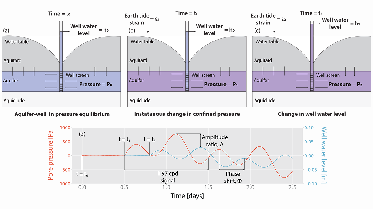
Modeling Groundwater Responses to Earth Tides
Tidal fluctuations in water well levels can reveal characteristics of the subsurface, and a new model based on coupled physics delineates the limitations of inherently simplistic analytical solutions.
Posted inResearch Spotlights
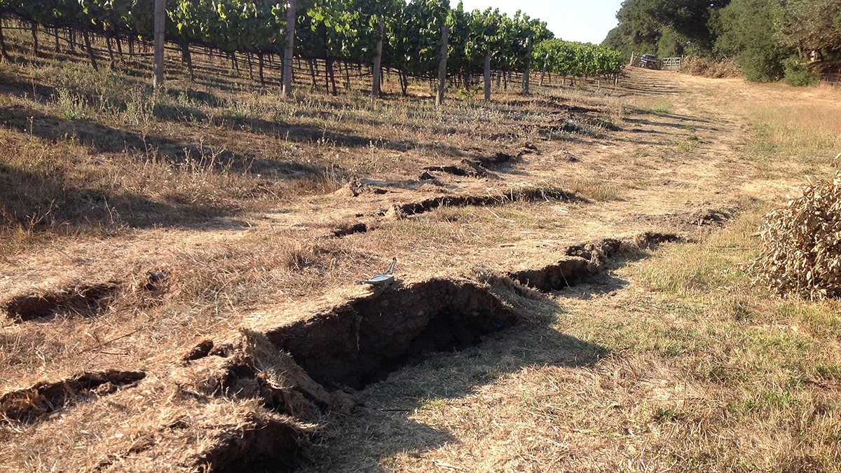
Slight Shifts in Magnetic Field Preceded California Earthquakes
Magnetometers detected faint signals that with further study, may improve our understanding of what happens before earthquakes and offer promise for early detection.

Posted inEditors' Highlights
Abiotic Life and Energy on Water-Rich Rocky Celestial Bodies
The discovery of tiny crystals of the iron-rich hydroxychloride kuliginite in New Caledonia provides new insights into the hydrogen production from mantle rocks and saline water.

Posted inResearch Spotlights
New Map of Proposed Mantle-Driven Topography Stirs the Pot
The role the deep Earth plays in creating topography is hotly debated. A new study uses subtle elevation changes around the globe as evidence that the mantle plays a key role in building topography.
Posted inResearch Spotlights
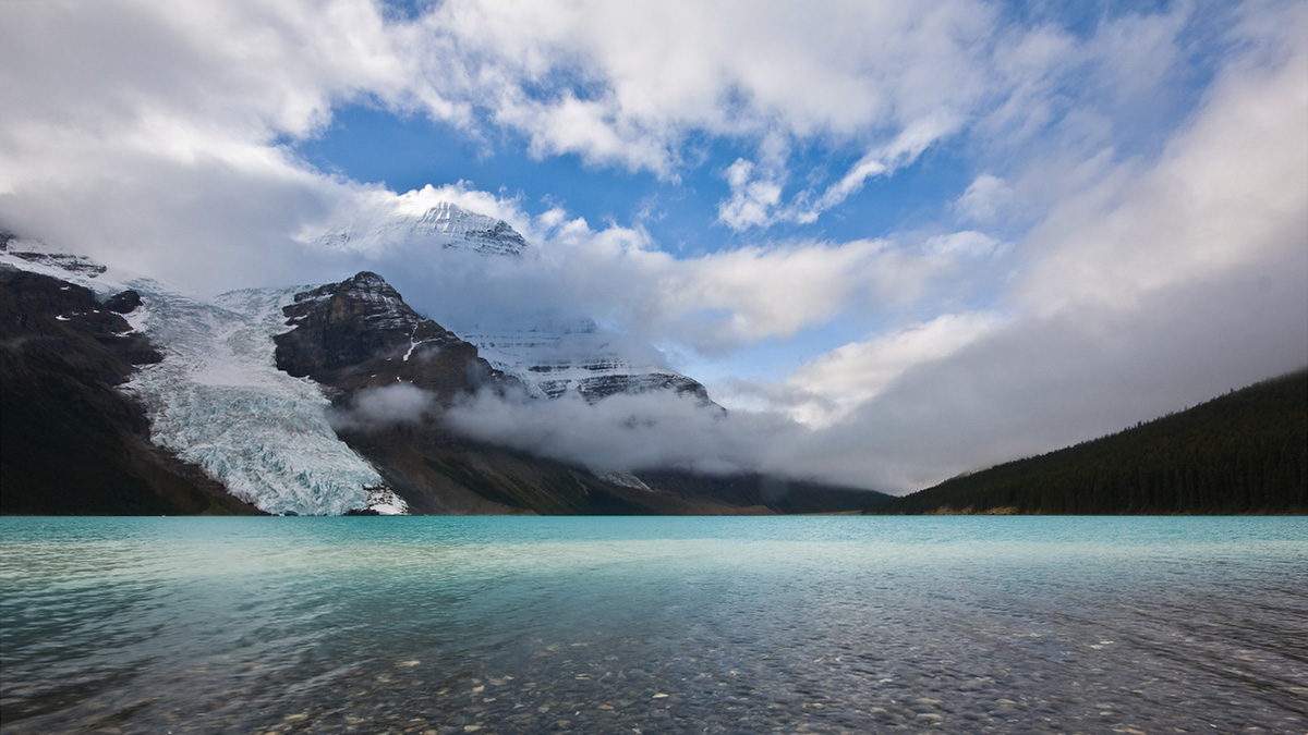
Models Oversimplify How Melting Glaciers Deform Land
When glaciers melt, the land below deforms. Sea level data show that widely used models oversimplify the process.