
Observations from the surge-type glacier Múlajökull in Iceland underpin new modeling results that suggest the glacier’s drumlins grow during quiet intervals of normal flow between glacial surges.
landscape & topography
Posted inGeoFIZZ
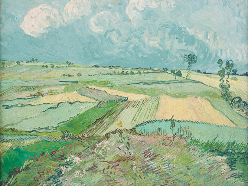
A Window into the Emerging Anthropocene…Through Art
Want a snapshot of how humans have been changing their landscapes since the Industrial Revolution? Look at artwork at a local museum, one geoscientist says.
Posted inAGU News
Eric F. Wood Receives 2017 Robert E. Horton Medal
Eric F. Wood was awarded the 2017 Robert E. Horton Medal at the American Geophysical Union Fall Meeting Honors Ceremony, held on 13 December 2017 in New Orleans, La. The medal is for “outstanding contributions to hydrology.”
Posted inNews
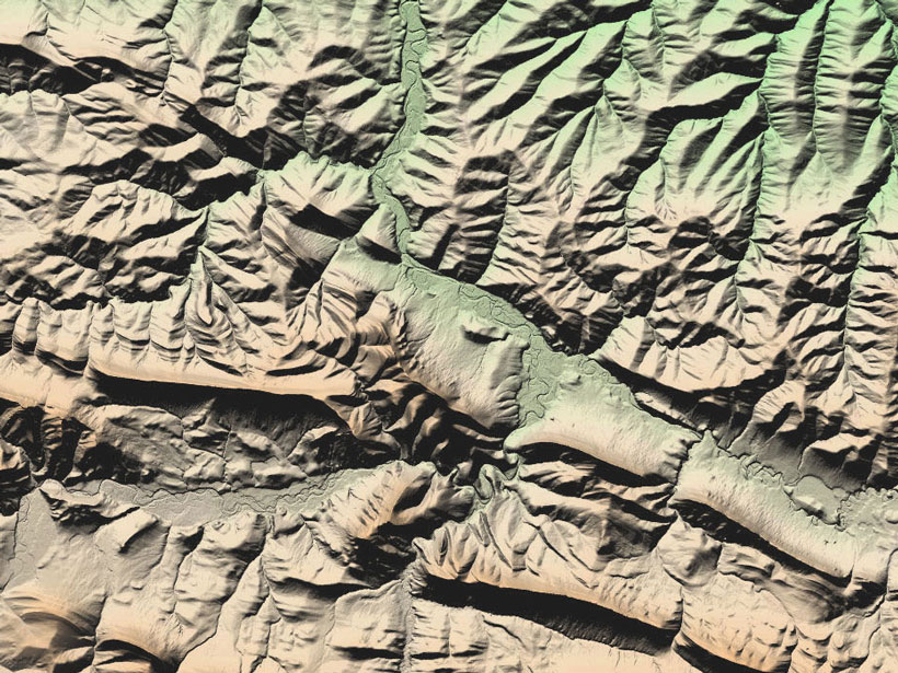
Map Provides High-Resolution Look at Nearly Entire Arctic Region
Researchers highlight the value of the time element incorporated into imagery and having a baseline for revisiting and comparing topography.
Posted inAGU News
Larsen Receives 2017 Luna B. Leopold Young Scientist Award
Isaac Larsen will receive the 2017 Luna B. Leopold Young Scientist Award at the 2017 American Geophysical Union Fall Meeting, to be held 11–15 December in New Orleans, La. The award recognizes a young scientist for “a significant and outstanding contribution that advances the field of Earth and planetary surface processes.”

Posted inResearch Spotlights
A New Baseline to Monitor Earth’s Dynamic Surface
Researchers devise a new mathematical approach to combine space- and ground-based observations into an alternative reference frame for monitoring the changing positions of Earth’s features.

Posted inNews
Pluto’s Features Receive First Official Names
Names of mountains, plains, valleys, and craters honor human and technological pioneers, Pluto scientists, and underworld mythology from around the world.

Posted inResearch Spotlights
The Competing Climate Effects of Elevation and Albedo
Variations in surface reflectivity are as important as surface elevation changes in determining regional climate at nonpolar latitudes, according to a new modeling study.
Posted inResearch Spotlights
Cosmic Muons Reveal the Land Hidden Under Ice
Scientists accurately map the shape of the bedrock beneath a glacier using a new technique.
Posted inResearch Spotlights
New Tool for Understanding Landscape Evolution in Drylands
Combining vegetation distribution models and sediment transport models offers a better understanding of how dryland environments change in response to different factors.