• About
  • Special Reports
  • Topics
    • Climate
    • Earth Science
    • Oceans
    • Space & Planets
    • Health & Ecosystems
    • Culture & Policy
    • Education & Careers
    • Opinions
  • Projects
    • Postcards From the Field
    • ENGAGE
    • Editors’ Highlights
    • Editors’ Vox
    • Eos en Español
    • Eos 简体中文版
    • Print Archive: 2015–2025
  • Policy Tracker
  • Blogs
    • Research & Developments
    • The Landslide Blog
  • Newsletter
  • Submit to Eos
  • AGU.org
  • Career Center
  • Join AGU
  • Give to AGU
  • About
  • Special Reports
  • Topics
    • Climate
    • Earth Science
    • Oceans
    • Space & Planets
    • Health & Ecosystems
    • Culture & Policy
    • Education & Careers
    • Opinions
  • Projects
    • Postcards From the Field
    • ENGAGE
    • Editors’ Highlights
    • Editors’ Vox
    • Eos en Español
    • Eos 简体中文版
    • Print Archive: 2015–2025
  • Policy Tracker
  • Blogs
    • Research & Developments
    • The Landslide Blog
  • Newsletter
  • Submit to Eos
Skip to content
  • AGU.org
  • Career Center
  • Join AGU
  • Give to AGU
Eos

Eos

Science News by AGU

Support Eos
Sign Up for Newsletter
  • About
  • Special Reports
  • Topics
    • Climate
    • Earth Science
    • Oceans
    • Space & Planets
    • Health & Ecosystems
    • Culture & Policy
    • Education & Careers
    • Opinions
  • Projects
    • Postcards From the Field
    • ENGAGE
    • Editors’ Highlights
    • Editors’ Vox
    • Eos en Español
    • Eos 简体中文版
    • Print Archive: 2015–2025
  • Policy Tracker
  • Blogs
    • Research & Developments
    • The Landslide Blog
  • Newsletter
  • Submit to Eos

machine learning & AI

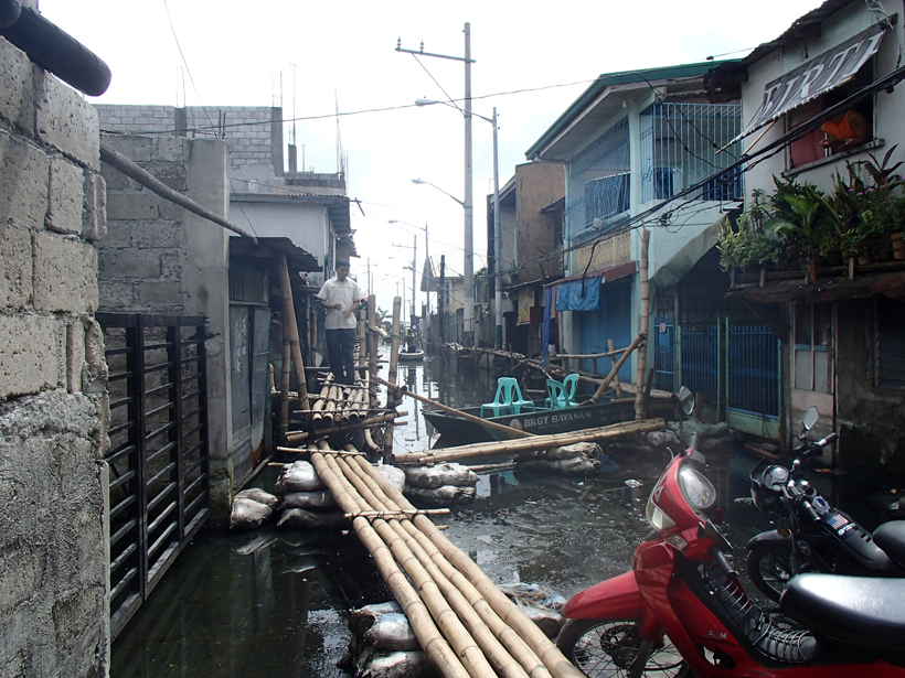
In September 2009, Typhoon Ketsana dropped 455 millimeters of rain on Manila in 24 hours, flooding the city.
Posted inNews

Mapping Dengue Fever Hazard with Machine Learning

Tim Hornyak, Science Writer by Tim Hornyak 14 June 201715 March 2023

Researchers develop a predictive software system to identify city-specific, dengue fever risk areas amid a global increase in cases.
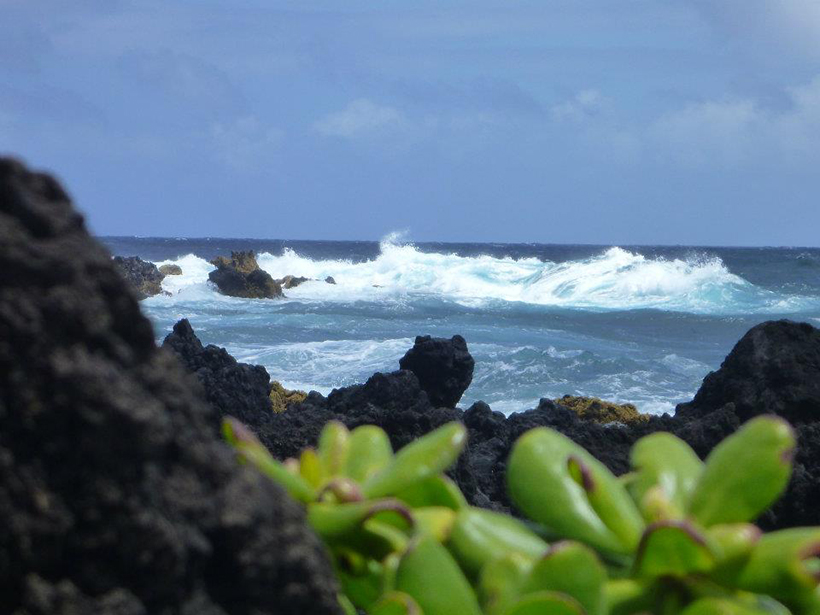
Waves on the Pacific Ocean seen from Maui, Hawaii
Posted inScience Updates

Closing the Pacific Rainfall Data Void

by E. E. Wright, J. R. P. Sutton, N. T. Luchetti, M. C. Kruk and J. J. Marra 7 July 201615 February 2023

A new climatology tool uses satellite data to map precipitation in a data-sparse region of the Pacific Ocean.
Posted inResearch Spotlights

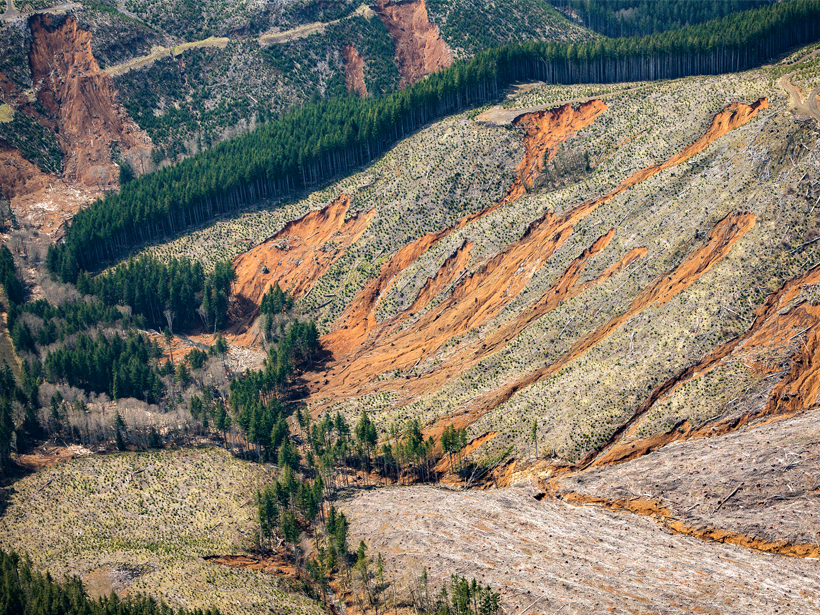
Efficiently Predicting Shallow Landslide Size and Location

by David Shultz 8 October 20156 February 2023

New mathematical approach lets researchers analyze potentially unstable slopes in three dimensions without testing every possible landslide shape.

Posts pagination

Newer posts 1 … 21 22 23
Over a dark blue-green square appear the words Special Report: The State of the Science 1 Year On.

Features from AGU Publications

Research Spotlights

In Alaska, Wildfires Help Prevent Future Burns. Will That Feedback Loop Hold?

24 September 202625 September 2026
Editors' Highlights

“Young Get Older, but Old Get Younger”: Counterintuitive Ocean Waters

25 September 202625 September 2026
Editors' Vox

In Appreciation of AGU’s Outstanding Reviewers of 2025

14 September 202610 September 2026
Eos logo at left; AGU logo at right

About Eos
ENGAGE
Awards
Contact

Advertise
Submit
Career Center
Sitemap

© 2026 American Geophysical Union. All rights reserved Powered by Newspack