
Author Brian Berkowitz answers questions about his recently published article and the scientific and societal implications of his findings.
Modeling
Posted inResearch Spotlights
Earth's Ground Heat Flux Should Not Be Overlooked
Scientists compare models of how much heat Earth's surface gives off and absorbs from the atmosphere.

Posted inOpinions
Laboratory Sharing to Improve Rock Deformation Research
An ever-growing group of scientists seeks to integrate rock deformation labs from across the United States into one shared national facility.

Posted inResearch Spotlights
A New Model to Improve Gravity Models
Data from the Gravity Recovery and Climate Experiment (GRACE) mission gets a new and improved look.
Posted inResearch Spotlights
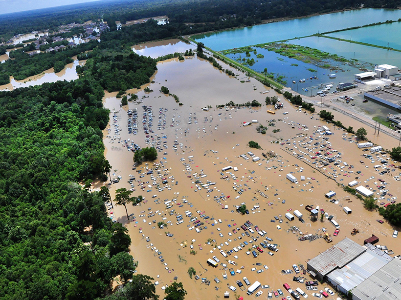
Modeling Rainfall Runoff
New framework unifies existing models for better analysis of the flowing water produced by heavy rain events.

Posted inResearch Spotlights
Ancient Ocean Floor Seashells Improve Model of Past Glaciers
More accurate reconstruction of ice sheets over the past 150,000 years could help scientists predict future climate change.
Posted inResearch Spotlights
High-Resolution Ocean Model Captures Large-Scale Heat Transport
A lower-resolution model is sufficient to capture air-sea interactions, but a high-resolution model better simulates average sea surface temperatures in the North Atlantic.

Posted inResearch Spotlights
Clouds in Climate Models of a Simulated Water-Covered Earth
Researchers use aquaplanet experiments to zero in on the effects of small-scale processes in the tropics that cause discrepancies between climate models.
Posted inResearch Spotlights
A Better Model for How the Mantle Melts
A new model of the melting behavior of certain mantle rocks gives researchers a better understanding of the source of oceanic lavas.

Posted inResearch Spotlights
Climate Change May Reduce Future Corn Supply
A suite of simulations run with a spectrum of starting conditions shows that climate change will reduce corn crop yield, although the degree of reductions varies widely.