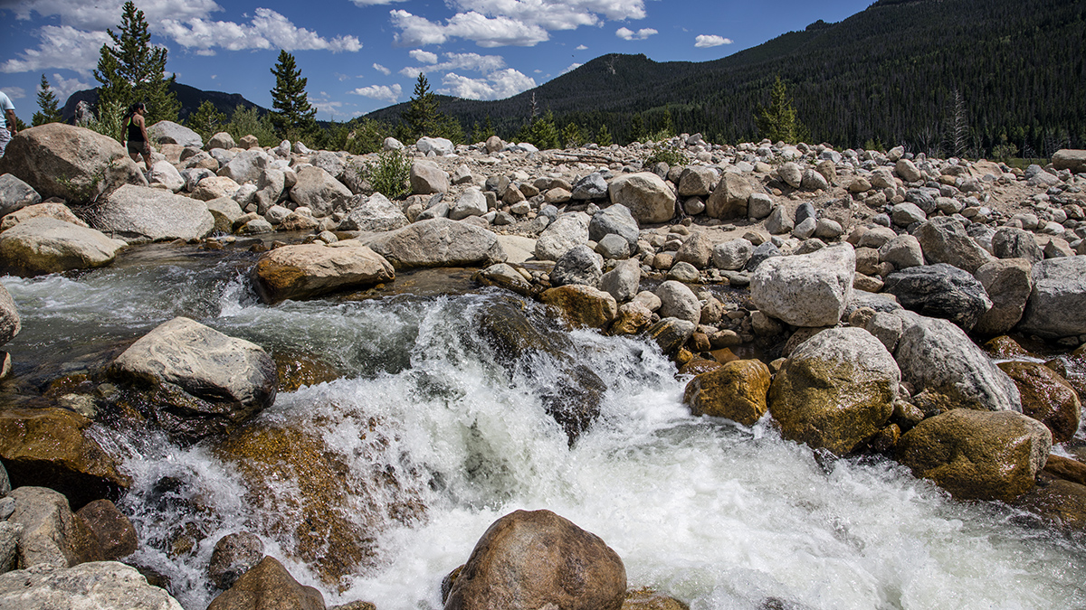
Alpine rain and snow take much longer to percolate into western U.S. streams than previously thought, adding complexity to long-standing hydrologic models.
Modeling

Posted inEditors' Highlights
Deep Root Respiration Helps Break Down Rocks
The carbon dioxide that results from respiration in and around deep roots is an essential component in the chemical weathering of sandstone rock soils.
Posted inResearch Spotlights
Un antiguo evento de calentamiento podría haber durado más de lo que pensábamos
Una nueva investigación sobre el Máximo Térmico del Paleoceno-Eoceno usó análisis probabilístico para entender mejor su duración y sobre cuánto tiempo podría afectar el calentamiento moderno al ciclo del carbono.

Posted inEditors' Highlights
ARMing SCREAM with Observations to Expose Cloud Errors
Modern ARM observations expose persistent process-level errors in a global cloud-permitting model, guiding future developments and improvements.

Posted inEditors' Highlights
Obtaining Local Streamflow at Any Resolution
A new upscaling method ensures that global simulations at low resolution preserve the streamflow at local points of interest, such as stream gauges.
Posted inNews
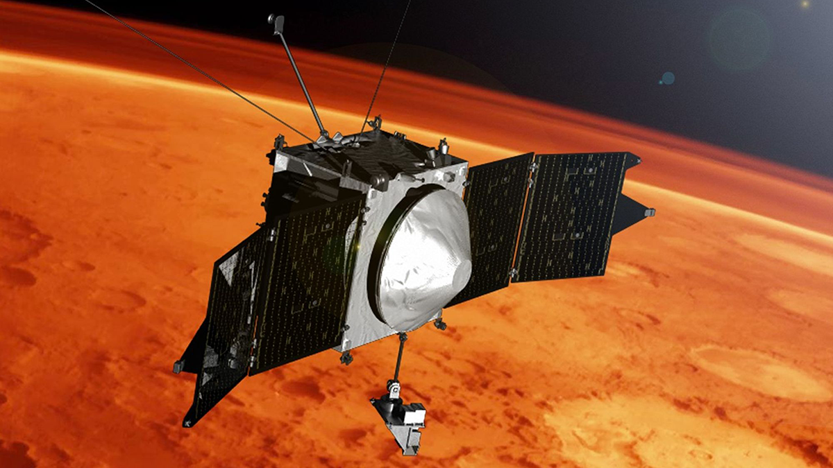
Scientists Spot Sputtering on Mars
Nearly a decade’s worth of data went into the first direct observation of sputtering on Mars, which researchers believe contributed to the loss of the Red Planet’s atmosphere.
Posted inResearch Spotlights
U.K. Space Weather Prediction System Goes Operational
Officials now have access to a suite of models they can use to head off damage to critical infrastructure.
Posted inResearch Spotlights
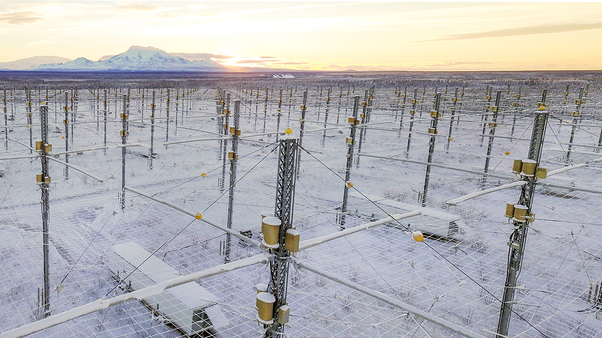
Nudging Earth’s Ionosphere Helps Us Learn More About It
New observations and simulations capture the physics at play across each of the three main ionospheric regions.

Posted inEditors' Vox
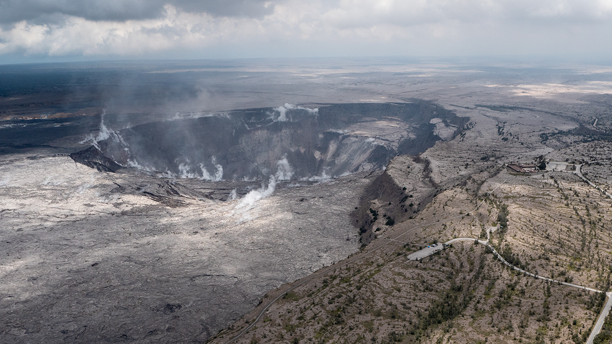
Inside Volcanic Clouds: Where Tephra Goes and Why It Matters
Monitoring and forecasting the movement of volcanic clouds is key to mitigating the impacts on communities, infrastructure, and air traffic.
Posted inEditors' Vox
Rising Concerns of Climate Extremes and Land Subsidence Impacts
Increasing interplay among extreme events and land subsidence impacts calls for urgent mitigation and policy action to reduce detrimental ramifications to infrastructure and people.