
El Niño and La Niña events can affect the spread of infectious diseases including cholera and dengue fever. The effects of some diseases may persist over several years.
Modeling

Posted inNews
How Do You Make Earth into an Icehouse?
A new model accurately reconstructs Earth’s past icehouses and indicates there’s no one driver behind them.
Posted inEditors' Highlights
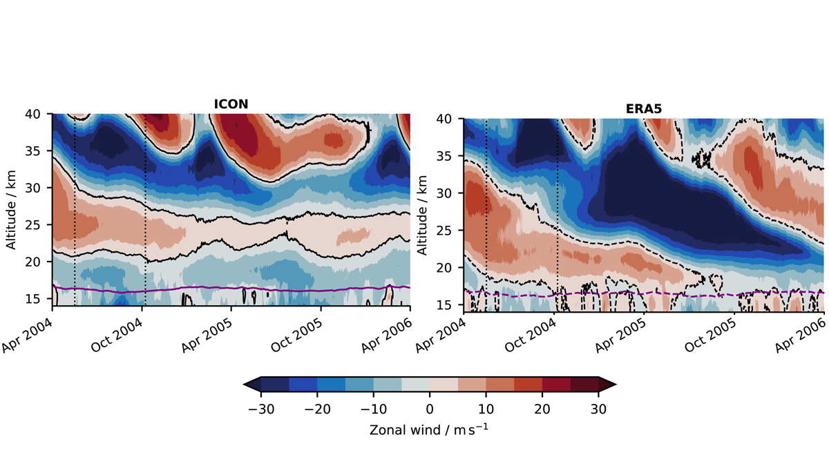
Simulating a Unique Wind System in a Kilometer-Scale Model
A new study shows that a kilometer-scale model can directly simulate aspects of the Quasi-Biennial Oscillation.
Posted inResearch Spotlights
¿Cómo podrían las estrategias de intervención climática solar afectar a la agricultura?
Los métodos de geoingeniería, como la inyección de aerosoles estratosféricos, prometen limitar el calentamiento, pero entre los muchos riesgos y preocupaciones potenciales, sus repercusiones en la agricultura permanecen en gran medida inexploradas.
Posted inEditors' Vox
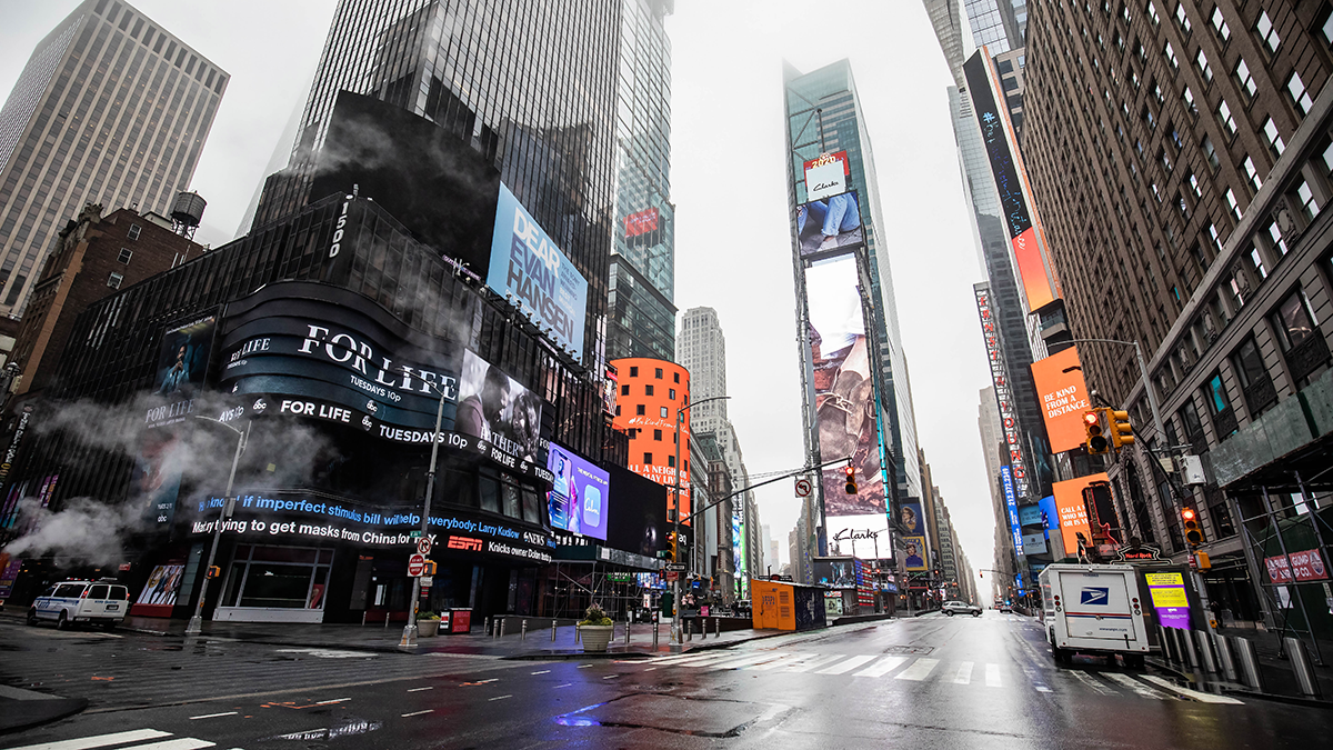
Particulate Pollution and its Climate Impacts During the COVID-19 Pandemic
The impacts of COVID-19 on short-lived pollutants highlight the predominant influence of the transportation sector and the resulting changes in regional climates and ecosystems.


Posted inResearch Spotlights
太阳辐射干预策略如何影响农业?
地球工程方法,如平流层气溶胶注入,有望抑制气候变暖,但存在许多潜在风险和担忧,其中它们对农业的影响在很大程度上仍未得到探索。

Posted inNews
Boreal Forests May Be on the Move
A new model shows a tendency for tree cover to decline in warmer areas and increase in colder ones.
Posted inEditors' Highlights
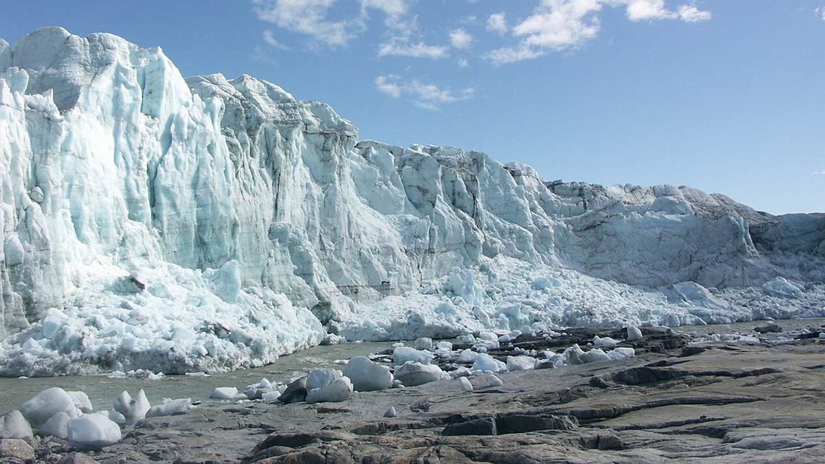
Which Greenland Outlet Glaciers have Subglacial Channels?
A new study provides insights into where the channels that drain subglacial water from underneath the Greenland Ice Sheet are most likely located.
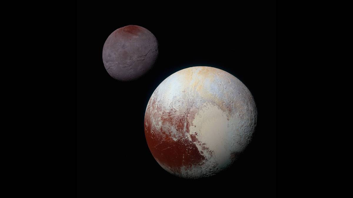
Posted inNews
Pluto Captured Charon with a Kiss
A newly understood collision mechanism could explain some peculiarities of Pluto and its moons.