The key to sustainable water resources management isn’t satellite technology yet—it’s a new spin on time-tested rain and stream gauges.
rain
Posted inEditors' Vox
Short Rains and Long Rains
A recent paper in Reviews of Geophysics examined the drivers of interannual and regional rainfall variability in eastern Africa.
Posted inResearch Spotlights
Shedding Light on Intermittent Rainfall
A study provides a new modeling method to simulate rain when it pours and when it doesn’t.
Posted inNews
More Intense Rains in U.S. Midwest Tied to Farm Mechanization
Replacement of horses by machines since the 1940s allowed central U.S. farmers to change the crops they planted, which may have altered regional climate.

Posted inResearch Spotlights
Mysterious Intraseasonal Oscillations in Monsoons
The unpredictable cycles of rainfall during India's summerlong monsoon have stymied scientists for decades.

Posted inResearch Spotlights
How Global Warming's Effect on Clouds May Make It Rain Harder
More clustering of clouds due to higher temperatures increases the likelihood of heavy downpours.
Posted inResearch Spotlights
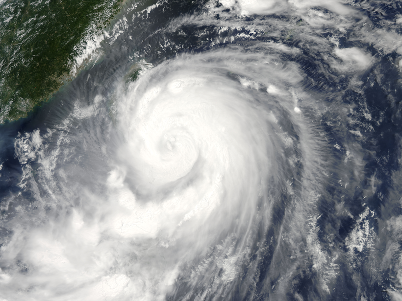
Reading Raindrops: Microphysics in Typhoon Matmo
Quantitative predictions about tropical storms require an understanding of even their smallest physical processes. A new study observes unusual microphysics in 2014's Typhoon Matmo.
Posted inResearch Spotlights
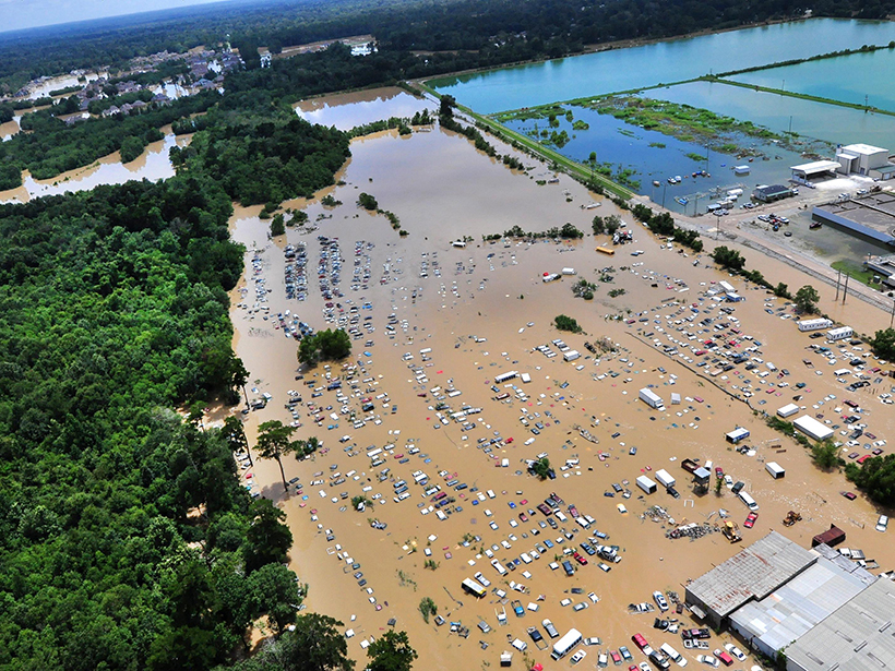
Modeling Rainfall Runoff
New framework unifies existing models for better analysis of the flowing water produced by heavy rain events.

Posted inNews
Earth Fissures May No Longer Get Mapped in Arizona
A program that monitors giant cracks in the ground that suddenly appear after heavy rain could become a casualty of budget cuts to the Arizona Geological Survey.

Posted inScience Updates
Closing the Pacific Rainfall Data Void
A new climatology tool uses satellite data to map precipitation in a data-sparse region of the Pacific Ocean.