
Researchers sifted through 50 years of satellite imagery and came up with new clues to where and why rivers avulse, suddenly changing their course.
satellite imagery
Posted inEditors' Vox
The Earth in Living Color: Monitoring Our Planet from Above
A new special collection invites papers on a new era of remote sensing missions and instruments that will provide insights into human and climate driven changes on planet Earth.
Posted inAGU News
Bringing Satellite Observations Down to Earth
This month’s issue of Eos shows how scientists can sometimes get a better look at something by stepping far—much, much farther—away.

Posted inResearch Spotlights
Mapping Martian Dunes from Orbit
New research shows how fast the sands shift on the Red Planet and how useful imagery from different orbiting cameras can be in studies of Mars’s dunes.

Posted inNews
River Ice Is Disappearing
Over the past 3 decades, the persistence of river ice has decreased by almost a week. The decrease in ice has important implications for ecology, climate, and the economy.
Posted inNews
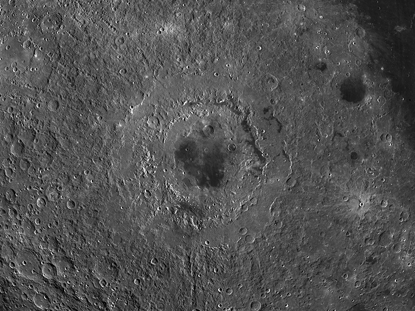
Rolling Rocks Reveal Recent Moonquakes
Using satellite images of the lunar surface, scientists find trails left by boulders shaken loose by seismic activity.

Posted inNews
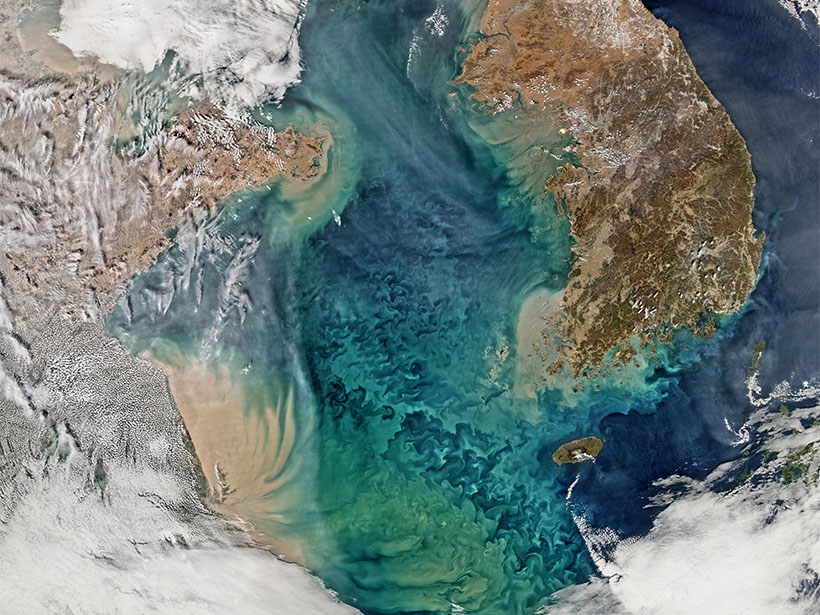
Artificial Intelligence Can Spot Plankton from Space
Training an algorithm with satellite images of ocean color reveals the blooms and busts of phytoplankton communities.
Posted inNews
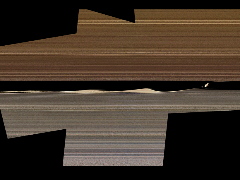
The Cassini Mission May Be Over, but New Discoveries Abound
New analysis of high-resolution images shows ring textures and disruptions within Saturn’s rings in unprecedented detail.

Posted inNews
Mysterious Coral Reef Halos Can Be Seen from Space
Grazing rings around reefs have the potential to be used as a tool for monitoring reef health, but first, scientists have to figure out what factors govern halo size differences.

Posted inNews
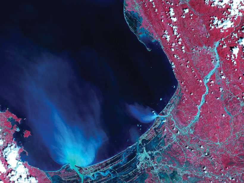
Satellite Imagery Reveals Plastic Garbage in the Ocean
Using high-resolution satellite data, scientists pinpoint discarded plastics floating off the coasts of Canada and Scotland.