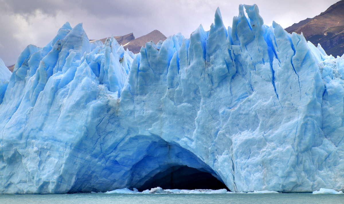
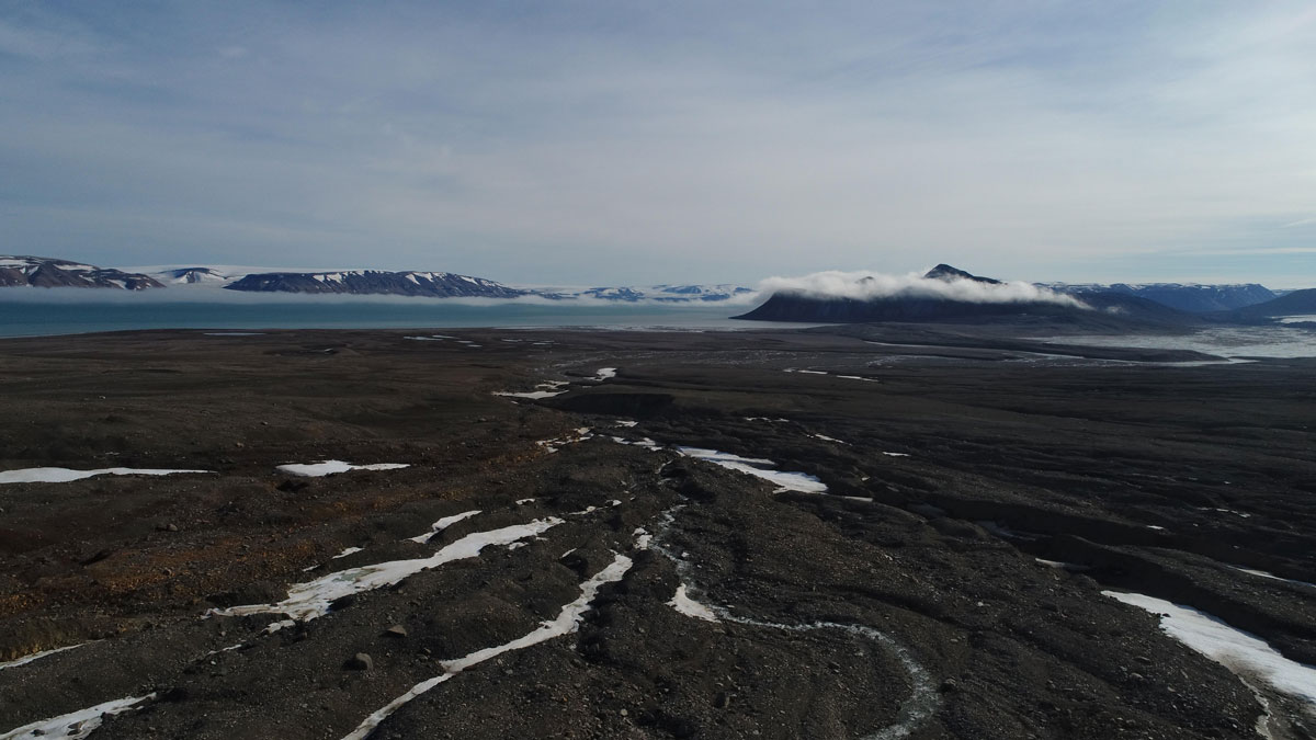
• About
  • Special Reports
  • Topics
    • Climate
    • Earth Science
    • Oceans
    • Space & Planets
    • Health & Ecosystems
    • Culture & Policy
    • Education & Careers
    • Opinions
  • Projects
    • ENGAGE
    • Third Pod from the Sun
    • Eos en Español
    • Eos 简体中文版
    • Print Archive
  • Newsletter
  • Submit to Eos
  • AGU.org
  • AGU Publications
    • AGU Journals
    • Editors’ Highlights
    • Editors’ Vox
  • Career Center
  • AGU Blogs
  • Join AGU
  • Give to AGU
  • About
  • Special Reports
  • Topics
    • Climate
    • Earth Science
    • Oceans
    • Space & Planets
    • Health & Ecosystems
    • Culture & Policy
    • Education & Careers
    • Opinions
  • Projects
    • ENGAGE
    • Third Pod from the Sun
    • Eos en Español
    • Eos 简体中文版
    • Print Archive
  • Newsletter
  • Submit to Eos
Skip to content
Eos

Eos

Science News by AGU

Sign Up for Newsletter

shales

Brown, barren, relatively flat land stretches into the distance, dotted with occasional patches of white snow. The dark blue Arctic Ocean laps the shore. A thin sliver of sky is gray and cloudy.
Posted inFeatures

Updating Dating Helps Tackle Deep-Time Quandaries

by Alka Tripathy-Lang 22 February 202222 February 2022

Geochronologists are finding fresh approaches to familiar methodologies, especially by zapping rocks with lasers to tackle classic Precambrian problems.

Map of Kentucky showing indoor radon potential
Posted inNews

Detailed Geologic Mapping Helps Identify Health Hazards

by Sarah Derouin 27 July 202130 June 2022

A team of geologists and nursing researchers created an interactive radon hazard map for Kentucky residents—and it was possible only because of the high-resolution bedrock mapping in the state.

Image of a volcanic lake at Ijen volcano in Indonesia
Posted inNews

Ancient, Acidic Lakes May Have Harbored Life

by R. Kemeny 30 March 202125 March 2022

A new analysis of South African sediments hints that acidic lakes may have leached minerals necessary for biotic life.

A conifer forest with many dead trees is seen in the foreground, with the Sierra Nevada in the background
Posted inScience Updates

Linking Critical Zone Water Storage and Ecosystems

by R. C. Bales and W. E. Dietrich 14 October 202025 March 2022

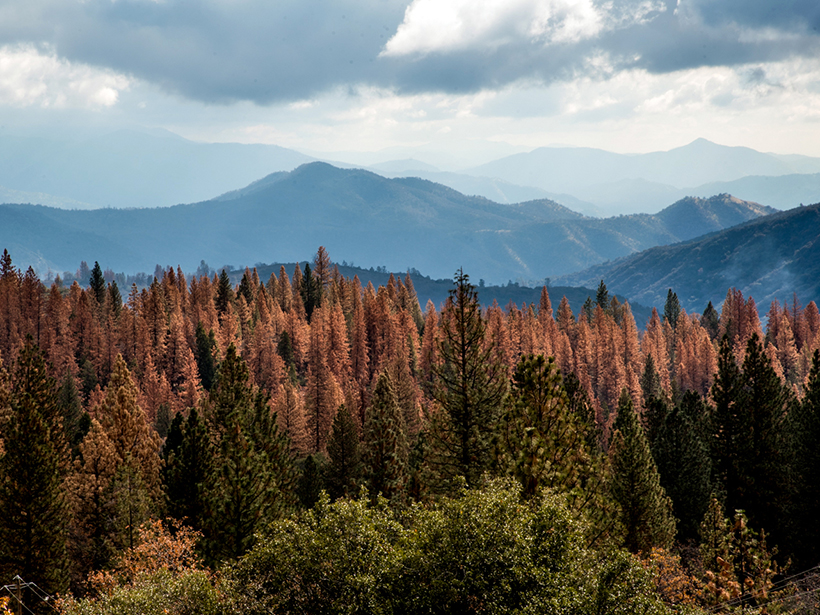
The geology and the structure of Earth’s critical zone control subsurface moisture storage potential and determine the resilience of forest and river ecosystems to drought.

Smoke and flames rise up from a well pad in proximity to houses
Posted inNews

More Gas Wells Linked to More Symptoms in Pennsylvania Residents

by P. Waldron 30 September 202025 March 2022

Natural gas production has been booming in southwestern Pennsylvania, but it may also yield multiple health complaints, especially for residents surrounded by oil and gas facilities.

Aerial view of patchwork agricultural fields in Illinois
Posted inScience Updates

Critical Agents of Change at Earth’s Surface

by P. Kumar, E. Herndon and D. D. Richter 29 September 202025 March 2022

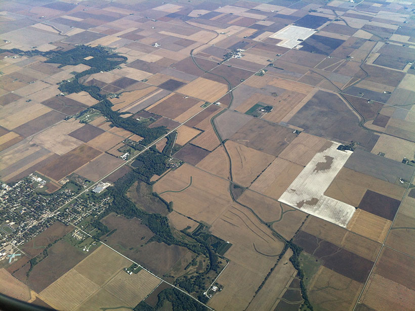
By way of agriculture and industry, humans have major influences on the critical zone. Our past and present effects on the landscape, soil, and water will echo for a long time to come.

Cartoon showing a map view of the top of a subducting plate modeled on present day subduction at Nankai in southwest Japan
Posted inEditors' Highlights

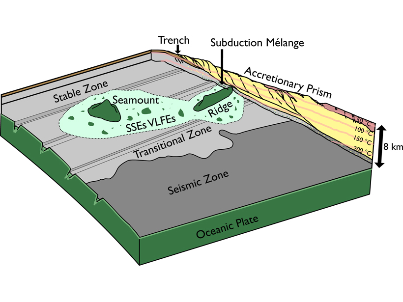
A Mechanism for Shallow, Slow Earthquakes in Subduction Zones

by U. Faul 30 July 202018 January 2022

Slow earthquakes beneath the accretionary prism updip from the locked portion of a subduction zone can be caused by basaltic blocks embedded in a shale matrix.

Aerial photo of a fracking site
Posted inNews

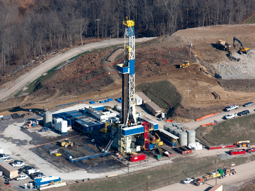
How Death and Disaster Followed the Shale Gas Boom in Appalachia

by R. Mukherjee 27 February 202012 November 2021

In the past decade, fracking has contributed to the deaths of more than a thousand people and the emission of more than a thousand tons of carbon dioxide in the Appalachian Basin.

Shale observed under strain
Posted inEditors' Highlights

Real Time Probing of Shale Cracks in Double Torsion Experiments

by A. Revil 13 February 201912 November 2021

Imaging crack propagation in shales using twin optical cameras and fast X-ray radiograph acquisition.

Water pool attached to Robinson Drilling rig 4 in Midland County, Tex.
Posted inNews

Largest Ever U.S. Shale Oil Deposit Identified in Texas

by Aaron Sidder 21 November 201612 November 2021

The Wolfcamp shale, which underlies a large swath of Texas roughly centered on the city of Midland, contains 20 billion barrels of oil that could be recovered with current technology.

Posts navigation

1 2 Older posts

From AGU Journals

MOST SHARED
Reviews of Geophysics
“Global and Regional Trends and Drivers of Fire Under Climate Change”
By Matthew W. Jones et al.

HIGHLY CITED
Global Biogeochemical Cycles
“Emission of trace gases and aerosols from biomass burning”
By M. O. Andreae, P. Merlet

HOT ARTICLE
Geophysical Research Letters
“Relating Slip Behavior to Off-Fault Deformation Using Physical Models”
By Emily O. Ross et al.


About Eos
Contact
Advertise

Submit
Career Center
Sitemap

© 2022 American Geophysical Union. All rights reserved. Proudly powered by Newspack by Automattic