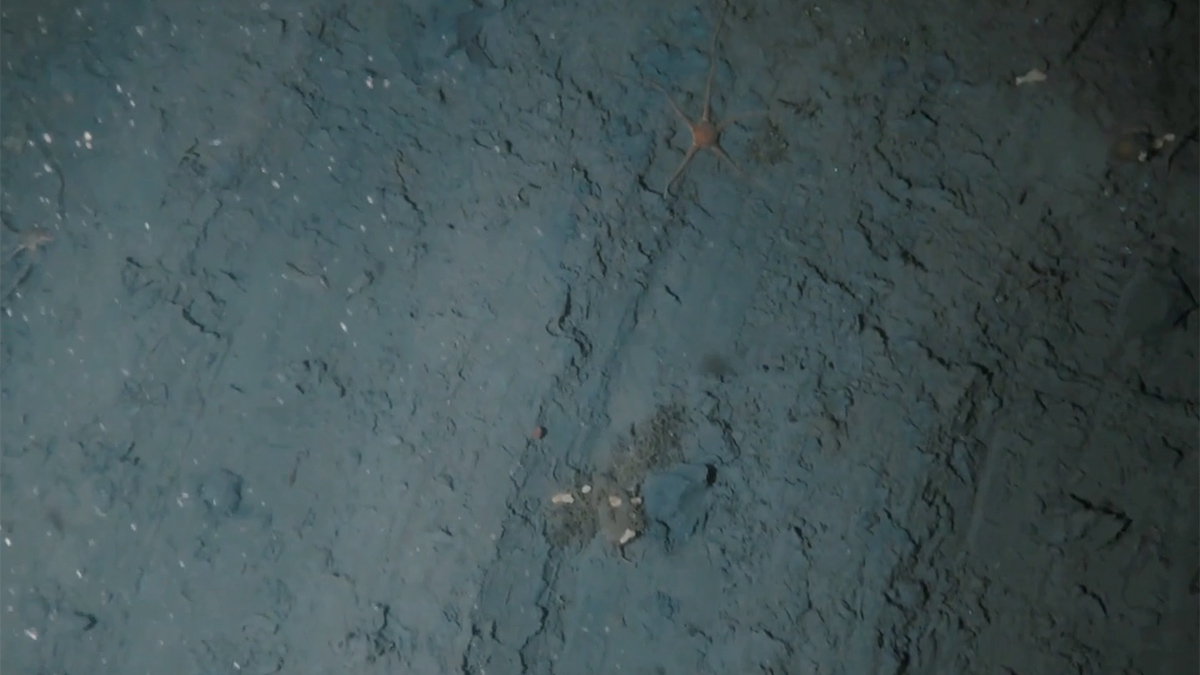
• About
  • Special Reports
  • Topics
    • Climate
    • Earth Science
    • Oceans
    • Space & Planets
    • Health & Ecosystems
    • Culture & Policy
    • Education & Careers
    • Opinions
  • Projects
    • ENGAGE
    • Third Pod from the Sun
    • Eos en Español
    • Eos 简体中文版
    • Print Archive
  • Newsletter
  • Submit to Eos
  • AGU.org
  • AGU Publications
    • AGU Journals
    • Editors’ Highlights
    • Editors’ Vox
  • Career Center
  • AGU Blogs
  • Join AGU
  • Give to AGU
  • About
  • Special Reports
  • Topics
    • Climate
    • Earth Science
    • Oceans
    • Space & Planets
    • Health & Ecosystems
    • Culture & Policy
    • Education & Careers
    • Opinions
  • Projects
    • ENGAGE
    • Third Pod from the Sun
    • Eos en Español
    • Eos 简体中文版
    • Print Archive
  • Newsletter
  • Submit to Eos
Skip to content
  • AGU.org
  • AGU Publications
    • AGU Journals
    • Editors’ Highlights
    • Editors’ Vox
  • Career Center
  • AGU Blogs
  • Join AGU
  • Give to AGU
Eos

Eos

Science News by AGU

Sign Up for Newsletter
  • About
  • Special Reports
  • Topics
    • Climate
    • Earth Science
    • Oceans
    • Space & Planets
    • Health & Ecosystems
    • Culture & Policy
    • Education & Careers
    • Opinions
  • Projects
    • ENGAGE
    • Third Pod from the Sun
    • Eos en Español
    • Eos 简体中文版
    • Print Archive
  • Newsletter
  • Submit to Eos

shipping

Black freighter at sea with gray, cloudy skies in the background
Posted inNews

Seaports Could Lose $67 Billion Yearly from Natural Disasters

Kimberly M. S. Cartier, News Writing and Production Intern for Eos.org by Kimberly M. S. Cartier 2 February 202322 March 2023

Small islands and low-income nations face the largest relative monetary losses to their ports and maritime trade.

Drone footage of a blue whale surfacing to breathe off the coast of California.
Posted inNews

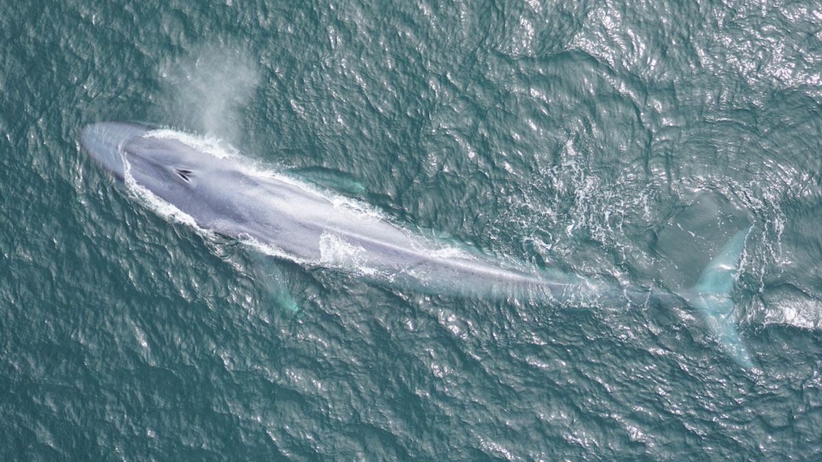
Scientists Tune In to Blue Whale Feeding Rhythms

by Bill Morris 26 October 20226 December 2022

New acoustic sensing technology is allowing scientists to track blue whale movements in real time, a breakthrough that could help save whales’ lives.

Aerial photograph showing melt ponds in a raft of sea ice. The shadow of the airplane is cast over the ice.
Posted inNews

Satellites Get First Full-Year View of Arctic Sea Ice Thickness

by Erin Martin-Jones 20 October 202222 March 2023

The AI-based monitoring method may unlock data that could improve shipping safety and climate predictions.

Satellite image of clouds and ship tracks in the Pacific Ocean south of Alaska
Posted inNews

Tracking Climate Through Ship Exhaust

by Humberto Basilio 27 September 202218 October 2022

International regulations have reduced aerosol pollutants released from ships. Now, researchers want to use ship tracks to better understand the ambiguous effects that cleaner air has on climate.

A ship sails through sea ice.
Posted inNews

Arctic Shipping Routes Are Feeling the Heat

Jenessa Duncombe, Staff Writer by Jenessa Duncombe 6 July 202218 October 2022

Climate science and the global shipping industry collide in an ice-poor Arctic.

A van drives through a flooded street in downtown Miami on a sunny day.
Posted inFeatures

The Benefits of Better Ocean Weather Forecasting

by Charlotte DeMott, Ángel G. Muñoz, Christopher D. Roberts, Claire M. Spillman and F. Vitart 12 November 202118 October 2022

Improvements in our ability to forecast oceanic conditions weeks to months in advance will help communities, industries, and other groups prepare amid a changing climate.

Container ships load and offload at the Port of Felixstowe, U.K.
Posted inResearch Spotlights

Seaports Expected to Grow by up to Fourfold by 2050

Liza Lester, staff writer by L. Lester 9 September 202021 February 2023

New research finds adaptation of ports to sea level rise cheap compared to new construction needed to keep up with growing maritime trade.

Graph showing range of water levels in the Great Lakes and the potential benefit from risk management strategies including insurance and dredging
Posted inEditors' Highlights

New Analysis Helps Manage Risks to Shipping in the Great Lakes

by Jim Hall 11 May 202018 October 2022

Modeling of mysteriously fluctuating water levels in the Great Lakes has helped to optimize the prices of shipping insurance contracts along with investments in dredging navigation channels.

Chart showing estimates of the influence of ship emissions on cloud effective radius (blue) and cloud condensate amount (salmon) in the shipping lanes of the Southeast Atlantic
Posted inEditors' Highlights

Quantifying Aerosol Effects on Climate Using Ship Track Clouds

by B. Stevens 25 March 202018 October 2022

A new methodology for measuring how human emissions influence cloud properties and radiative forcing developed by reconstructing cloud fields in maritime shipping lanes.

Ship tracks (linear cloud features) seen over the Pacific Ocean.
Posted inNews

Algorithm Spots Climate-Altering Ship Tracks in Satellite Data

Katherine Kornei, Science Writer by Katherine Kornei 23 July 201918 October 2022

Tens of thousands of ship tracks—cloud structures created when ships’ exhaust plumes interact with the atmosphere—are pinpointed automatically, furthering study of these climate-altering features.

Posts navigation

1 2 Older posts

Features from AGU Journals

RESEARCH SPOTLIGHTS
Geophysical Research Letters
“Neural Networks Map the Ebb and Flow of Tiny Ponds”
By Sarah Derouin

EDITORS' HIGHLIGHTS
Community Science
“Collaboration Helps Overcome Challenges in Air Quality Monitoring”
By Muki Haklay

EDITORS' VOX
Reviews of Geophysics
“What We Know and Don’t Know About Climate Tipping Elements”
By Seaver Wang

Eos logo at left; AGU logo at right

About Eos
ENGAGE
Awards
Contact

Advertise
Submit
Career Center
Sitemap

© 2023 American Geophysical Union. All rights reserved. Proudly powered by Newspack by Automattic