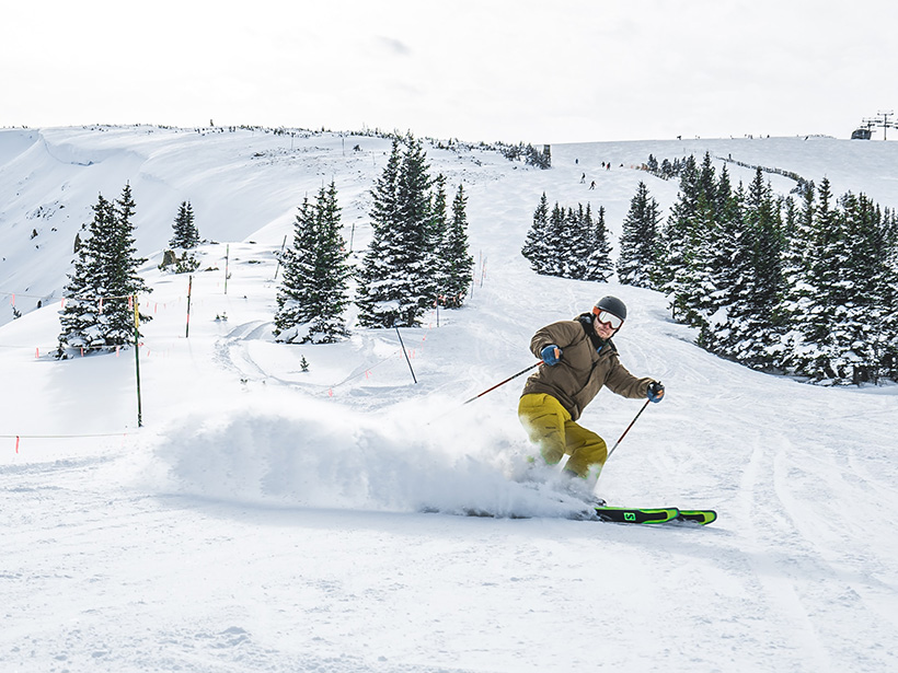
A cultural shift is underway to transform outdoor buffs into stalwarts for climate action. Will it come soon enough to save their sport?
snow

Posted inNews
SnowSchool Spans the States
The nonprofit, donation-fueled program engages K–12 students by combining the fun of playing in snow with the science of the cryosphere.

Posted inNews
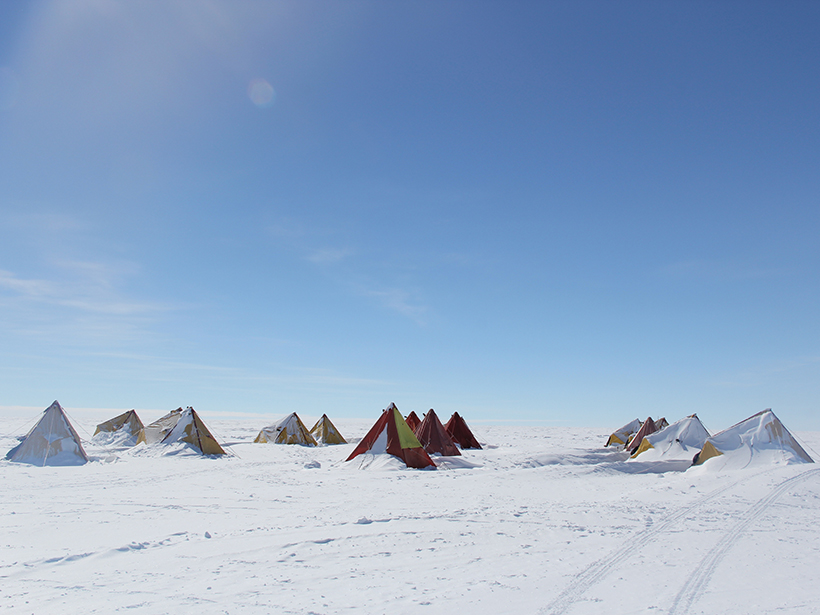
Testing on the Tundra: NASA Snow Program Heads North
With infrastructure, experience, and a slice of the world’s largest snow biomes, Alaska is an essential research destination for NASA’s multiyear SnowEx campaign.

Posted inNews
Rare Wintertime Thunderstorms Recorded over the U.S. Gulf Coast
“Thundersnow”—thunderstorm activity accompanying a winter storm—was spotted near southern Texas earlier this year.
Posted inOpinions
Microplastics’ Hidden Contribution to Snow Melting
Microplastic particles, present everywhere on the planet, may complicate assessments of black carbon’s role in the melting of snow and of its contributions to Earth’s radiative balance.
Posted inEditors' Highlights
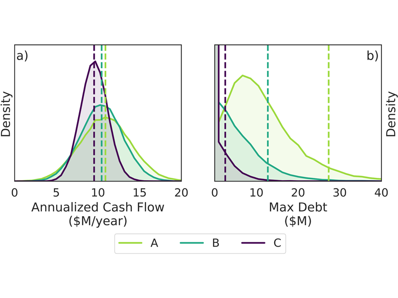
How to Hedge the Risk of Reduced Snowpack for Hydropower
A new index insurance contract – a financial product innovation seeking to cope with climatic variability – could help hydropower operators to manage climate risks.
Posted inResearch Spotlights
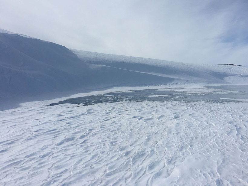
A Census of Snowdrifts in Northern Alaska
Snowdrifts prove less ephemeral than they might seem, occurring in the same places year after year.

Posted inNews
How Infrastructure Standards Miss the Mark on Snowmelt
Nationwide, civil engineers consider precipitation values from NOAA to design their structures. But those values are missing another contributor to flood risk: snowmelt.
Posted inNews
New Tool Quantifies and Predicts Snow Droughts
A new metric for calculating snow water equivalence relies on three methodologies: modeling, satellite imagery, and direct observation.

Posted inResearch Spotlights
Snowpack Data Sets Put to the Test
A new study compares the accuracy of three observation-based methods of calculating snow water equivalent, a key component in water management.