
Constructed wetlands can significantly reduce water pollution from tile-drained farms.
soils
Posted inEditors' Highlights
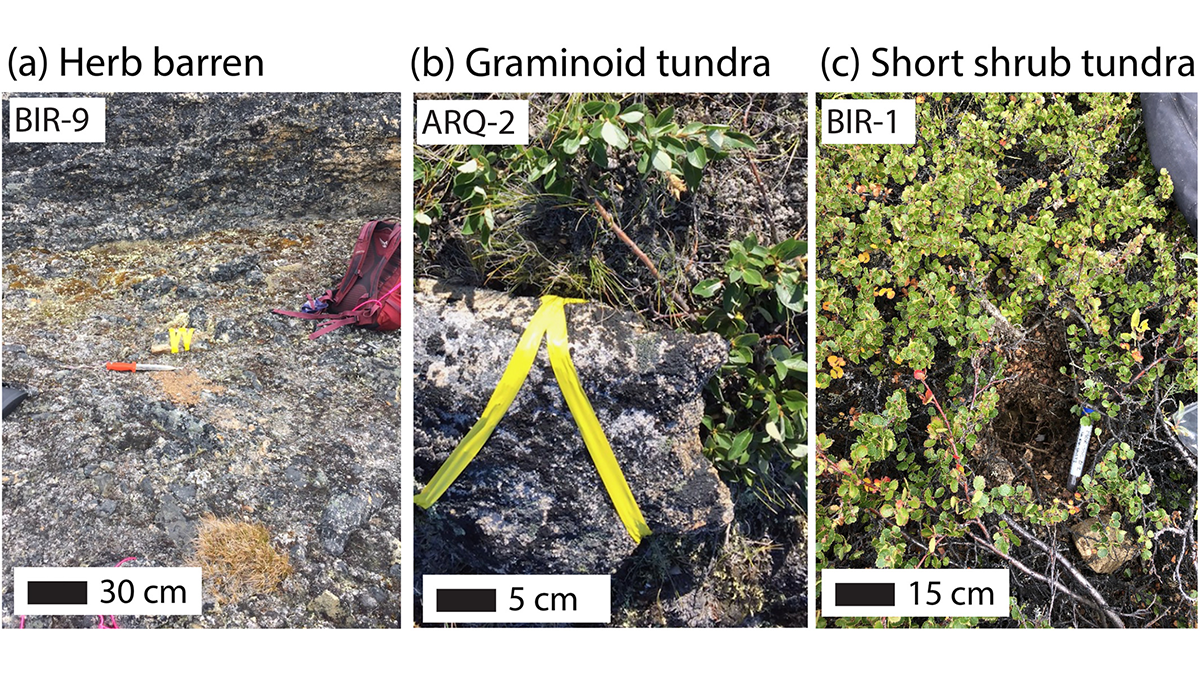
It’s Cool to be Short When You’re in the Arctic Permafrost
Extensive ground temperature measurements complicate our understanding of how vegetation cover, snow duration, and microtopography influence the pace of permafrost thaw in a changing climate.

Posted inNews
Peeking at Peatlands: Satellite Data Fuel New Findings
Researchers are combining hard-to-get field measurements with satellite imagery to gain new insight into where peatlands are and how they work.

Posted inENGAGE, News
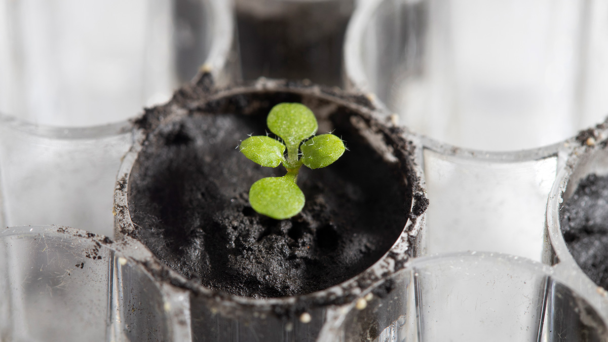
El suelo lunar permite cultivar plantas
Plantas cultivadas en regolito lunar recolectado por las misiones Apollo crecieron con éxito desde la semilla hasta el retoño, brindando así información sobre las futuras perspectivas de la agricultura lunar.
Posted inNews
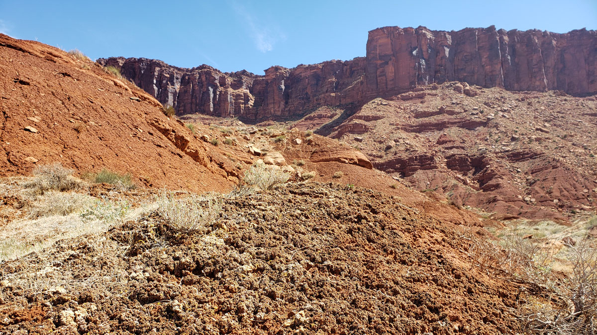
Climate Change Leads to Decline in Lichen Biocrusts
As summer temperatures continue to rise, important biocrust-forming organisms in the American Southwest may be lost.
Posted inResearch Spotlights
Mediciones pareadas de gases: ¿un nuevo trazador biogeoquímico?
Una técnica que mide la relación entre el dióxido de carbono producido y el oxígeno consumido podría mejorar las predicciones de la respuesta del suelo al cambio climático.
Posted inENGAGE, News
Lunar Soil Can Grow Plants
Plants grown in lunar regolith collected by Apollo missions successfully grew from seed to sprout, lending insight into future lunar agriculture prospects.

Posted inResearch Spotlights
Paired Gas Measurements: A New Biogeochemical Tracer?
A technique that measures the ratio of carbon dioxide produced to oxygen consumed could improve predictions of soil’s response to climate change.
Posted inNews
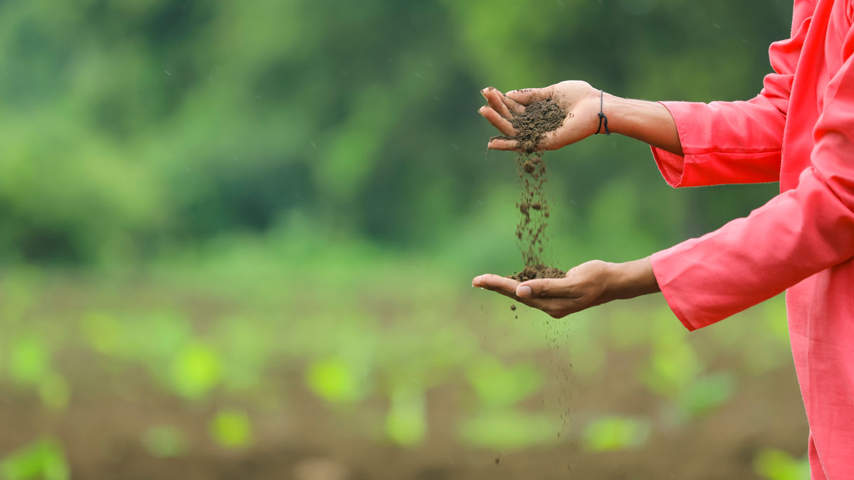
Traditional Fertilizers Beat Out Industrial Chemicals in Soil Health Test
New research in western India found that fertilizer based on Traditional Ecological Knowledge made soil more fertile in a head-to-head test with industrial fertilizers.
Posted inNews
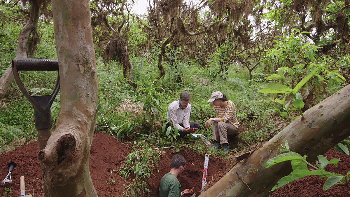
The Galápagos Islands: The Ultimate Outdoor Soil Science Laboratory
A new study has spurred further research into the impacts of soil formation on modern-day problems like heavy metal contamination in agricultural soils.