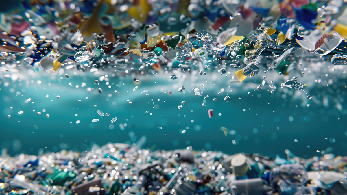
Every year, an additional 11 million tons of microplastics permeate the water column and marine ecosystems within it. Geoscience is contributing to strategies that aim to identify microplastic movements—and stop them.
water pollution
Posted inNews
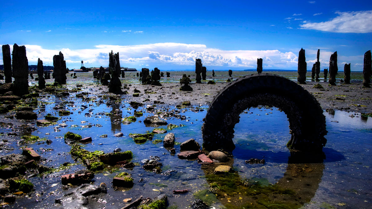
What Tires Leave Behind Can Become Toxic Fish Food
Tire particles might seem tasty, if you’re a fish—but a new study shows how this pervasive microplastic can affect growth and behavior in marine species.
Posted inNews
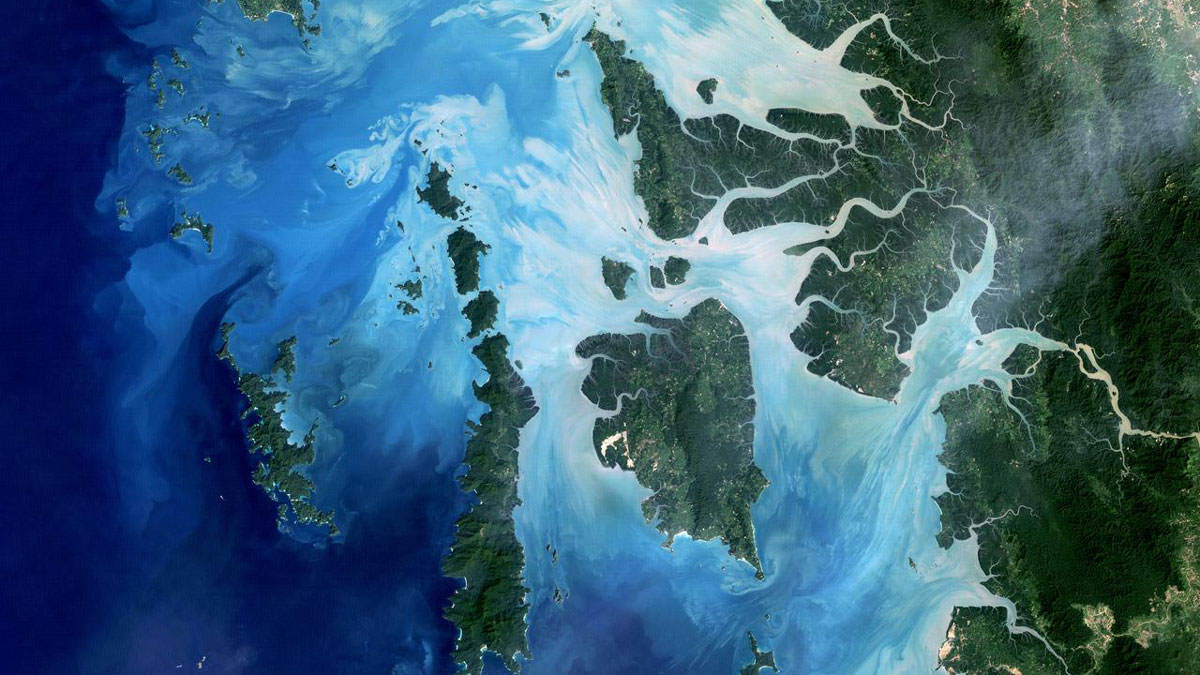
Have We Been Focusing on the Wrong Ocean Pollutants? This Study Maps What We’ve Been Missing
A global analysis of more than 2,300 seawater samples found that largely unmonitored industrial compounds are widespread across oceans and may be changing crucial biological and carbon cycling processes.
Posted inEditors' Highlights
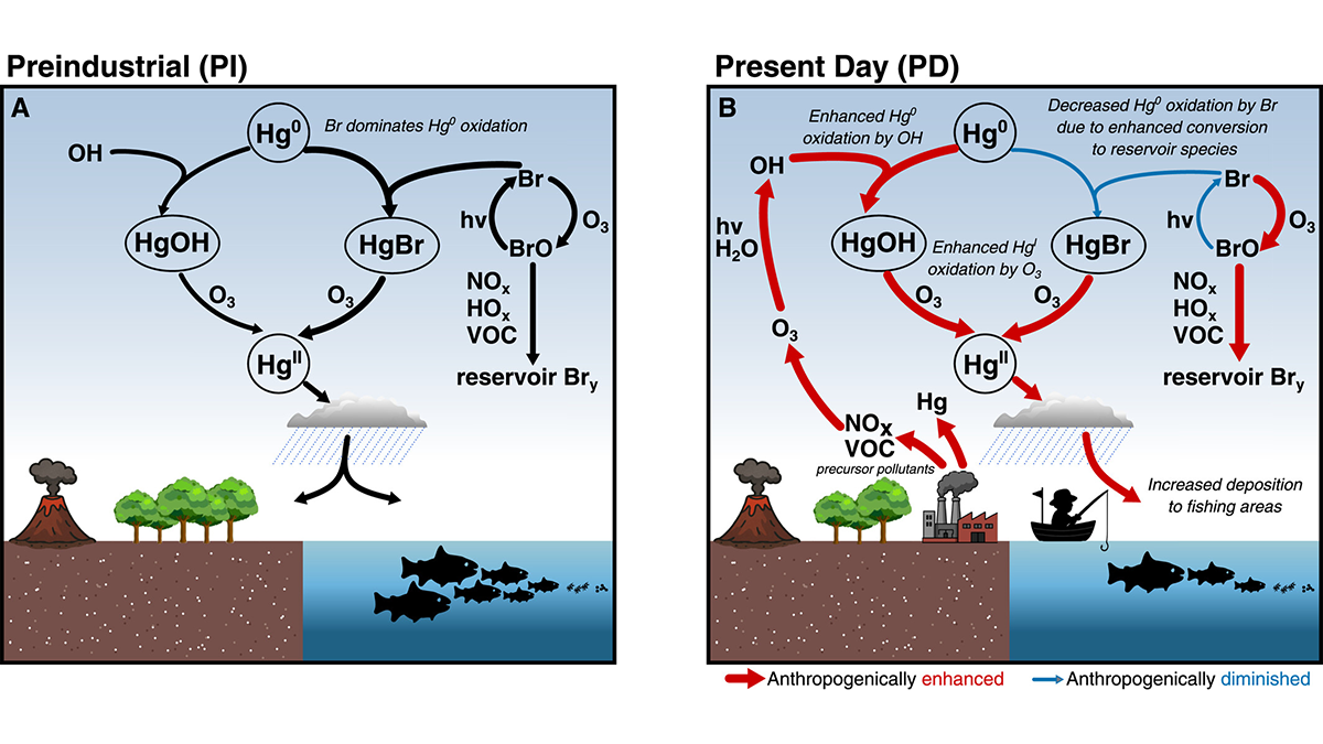
Human Effects on Background Atmosphere have Affected Mercury Chemistry
Atmospheric mercury chemistry has evolved over time due to changes in atmospheric composition, especially for changing concentrations of bromine radicals, hydroxyl radicals, and ozone.
Posted inResearch Spotlights
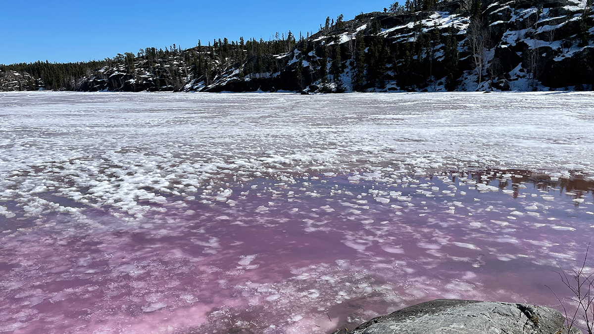
How the Spring Thaw Influences Arsenic Levels in Lakes
Four lakes near Yellowknife, Canada, show that there’s no one-size-fits-all answer.
Posted inFeatures
Pollution Is Rampant. We Might As Well Make Use of It.
Human-made substances hold dangers for the environment, but they also give scientists a view into recent history.
Posted inReport
The State of the Science 1 Year On: Environment
Administration policies have eliminated funding sources, review processes, and pollution limits designed to protect the nation’s land, water, and air.

Posted inResearch Spotlights
Microbial Genes Could Improve Our Understanding of Water Pollution
New research in Germany’s Ammer floodplain examines microbial biomarkers to help improve modeling of denitrification.
Posted inResearch & Developments
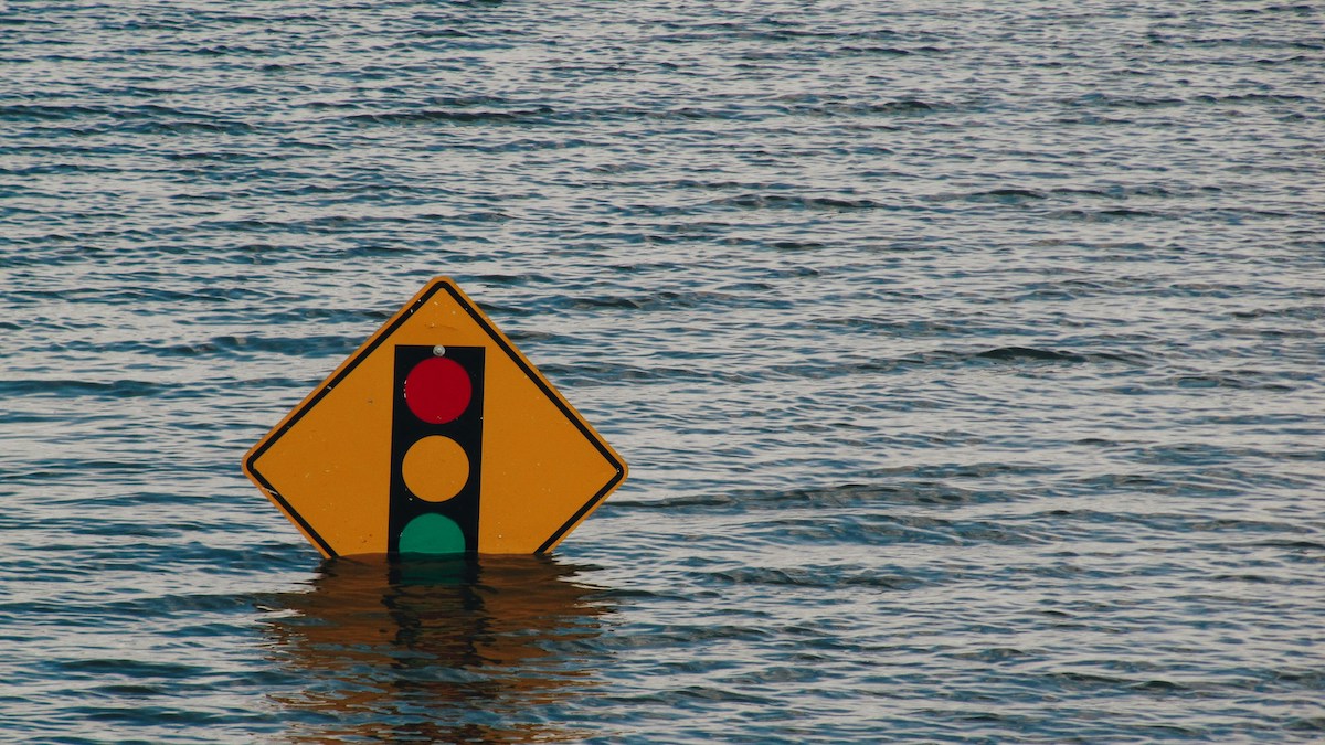
5,500 Toxic Sites in the U.S. at Risk of Flooding as Seas Rise
Rising sea levels have put thousands of facilities containing hazardous materials at risk of flooding this century, according to a new study published in Nature Communications.

Posted inNews
Shallow Injection Imperfectly Filters Florida Wastewater
Injection of wastewater into shallow wells is meant to filter nutrients like nitrogen and phosphorus out of the wastewater. But a new study suggests that nutrients aren’t entirely eliminated—and may be polluting coastal waters.