
Martyn Clark, incoming editor in chief for Water Resources Research, foresees interdisciplinary and collaborative hydrology research, increased article impact, and an improved article review process.
Water Resources Research
Posted inResearch Spotlights
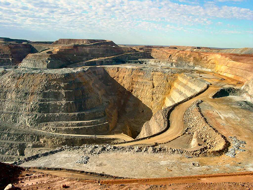
Global Drought Clustering Could Mean Big Losses for Mining
Long-term climate records could help mining companies and their investors assess the financial risk of water shortages.
Posted inResearch Spotlights
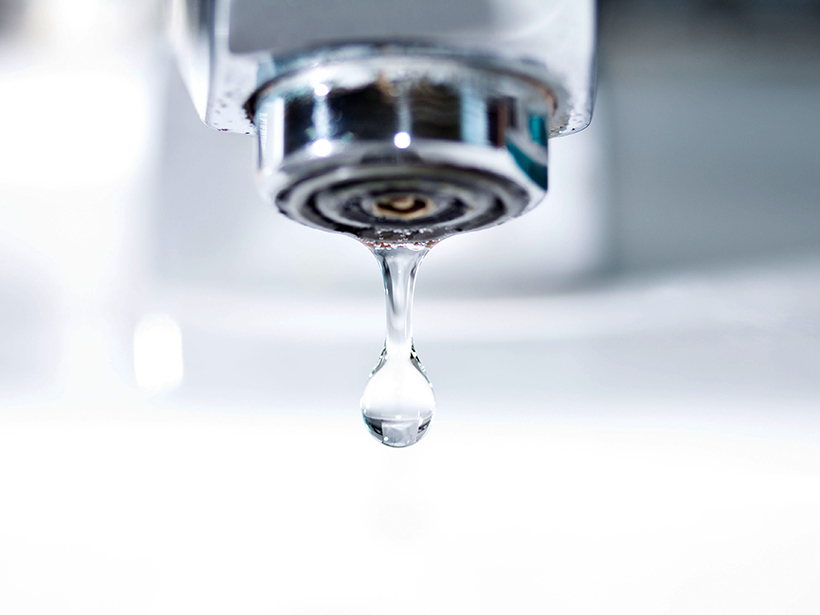
Water Quality Database Offers New Tools to Study Aquatic Systems
Researchers assess the federal Water Quality Portal, a Web portal that unites disparate water quality data sets and resources.

Posted inResearch Spotlights
When Income Goes Up, Does Pollution Go Down?
Scientists look at a possible connection between increased wealth and decreased water pollution in Louisiana.
Posted inResearch Spotlights
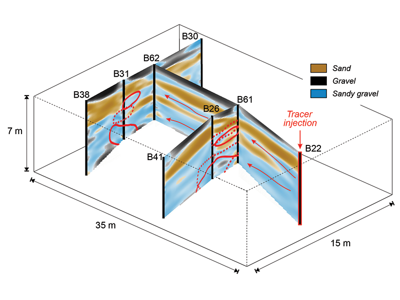
New Ground-Penetrating Radar Method Shows Promise in Aquifer
Recent advances in ground-penetrating radar data analysis could help reveal aquifer structure in unprecedented detail.

Posted inResearch Spotlights
Boulders Limit Transport of Sand and Gravel in Steep Rivers
Mountain rivers and streams actively reshape landscapes by eroding material from uplands and depositing it in lowlands. Scientists can now predict this transport in very steep streams.
Posted inResearch Spotlights
Modeling Rainfall Runoff
New framework unifies existing models for better analysis of the flowing water produced by heavy rain events.

Posted inEditors' Vox
Water Challenges of Megacities
After attending a groundwater conference this summer in Shenzhen, China, Water Resources Research editor Jean Bahr reports back and summarizes the water management challenges posed by large cities.
Posted inResearch Spotlights
Isotopes from the Tap Reveal Urban Water System Dynamics
Tracking isotope patterns in tap water also reveals metropolitan water management choices, population ranges, episodes of environmental stress, and even information on household income.

Posted inResearch Spotlights
How Vague Historical Writings Help Scientists Predict Floods
By including imprecise historical written records in their calculations, researchers were able to decrease uncertainty in estimations of future flood frequency.