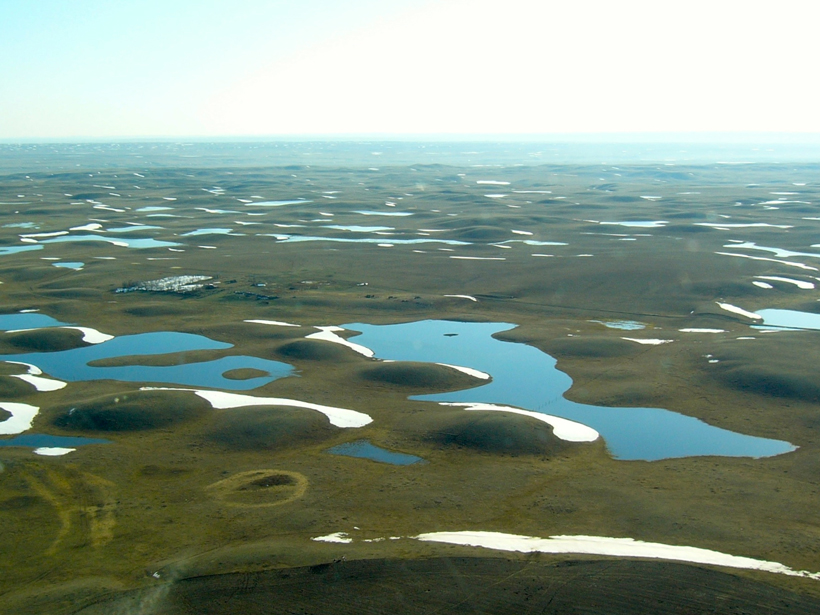
Studying the Prairie-Pothole Region of North America could help improve water resource management across the continent.
Water Resources Research
Posted inResearch Spotlights
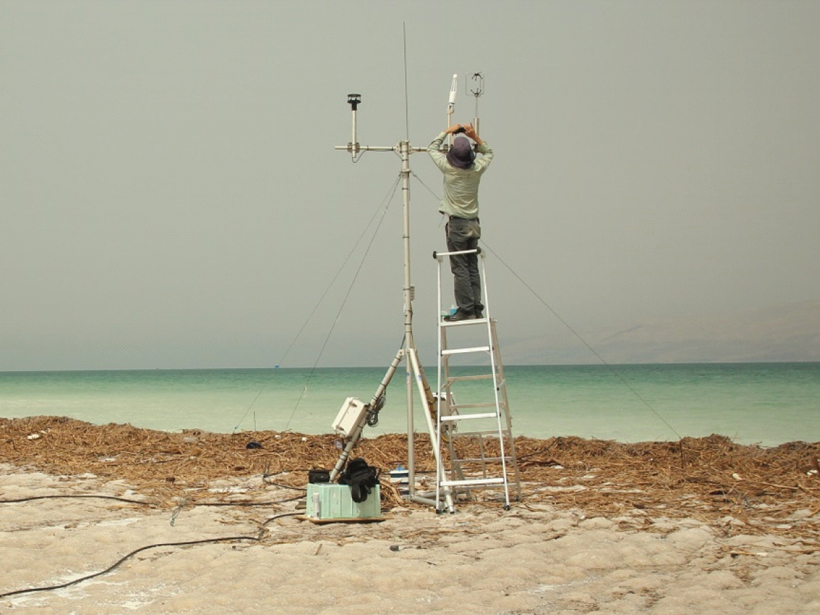
Dead Sea Provides Unique Insights on Water Evaporation
Scientists study the impacts of sunlight and wind on evaporation at one of Earth’s most unusual lakes.

Posted inResearch Spotlights
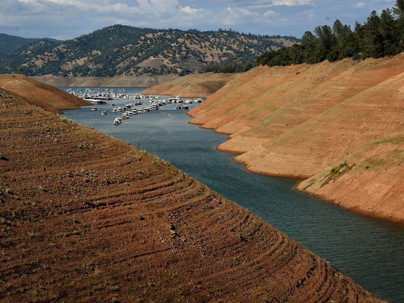
California’s Water Savings Dwindle When Drought Fears Subside
Policy changes and media attention affect how much water Californians use, as well as how long these behaviors prevail. Could public awareness shift behaviors toward long-term conservation?
Posted inResearch Spotlights
How Drought Plays Out
Humans are less likely to deplete groundwater when rainfall varies between years.
Posted inResearch Spotlights
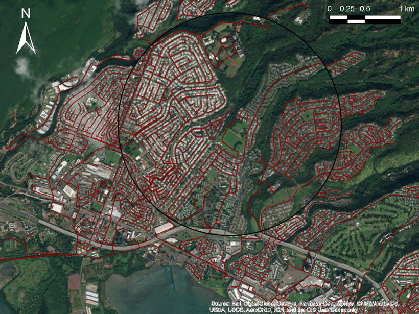
Urban Sewers Evolve Similarly to River Networks
Like river systems, engineered drainage networks become increasingly fractal as they grow.
Posted inResearch Spotlights
What Causes Ecological Shifts?
A new information-processing framework helps researchers tease out the factors driving ecological shifts over short timescales.

Posted inResearch Spotlights
Cosmic Ray Neutrons Reveal Mountain Snowpacks
The first application of aboveground neutron sensing to evaluate alpine snowpacks indicates that this method can reliably detect average snow depth and water content across intermediate distances.
Posted inResearch Spotlights
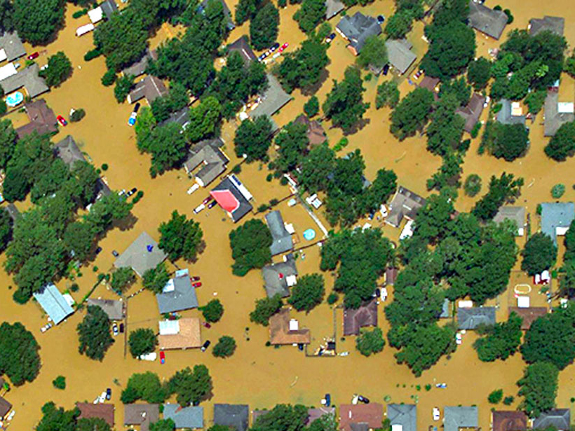
Deciphering Deluges
New modeling approach reexamines two key assumptions about flooding.
Posted inEditors' Vox
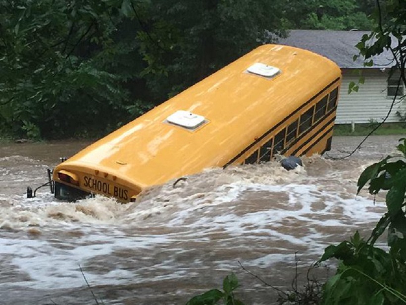
In Pursuit of Flash Flood Data
How remote sensing of streams provides valuable data for the characterization, prediction, and warning of impending flash floods.
Posted inResearch Spotlights
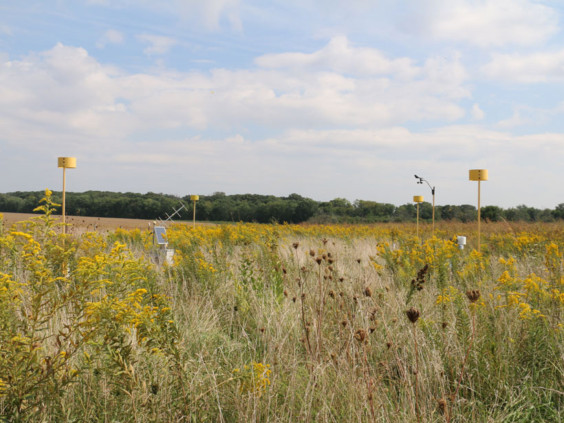
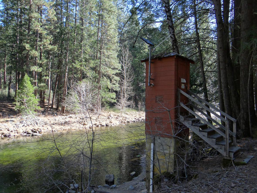
Improving Water Resources Management from the Ground Up
The key to sustainable water resources management isn’t satellite technology yet—it’s a new spin on time-tested rain and stream gauges.