
Evaporation can demonstrate the effects of crop irrigation on decadal trends in evapotranspiration at a regional spatial extent.
Water Resources Research

Posted inResearch Spotlights
What Is a Nuisance Flood, Exactly?
A more precise definition could help cities and governments prepare and respond to hazards.
Posted inResearch Spotlights
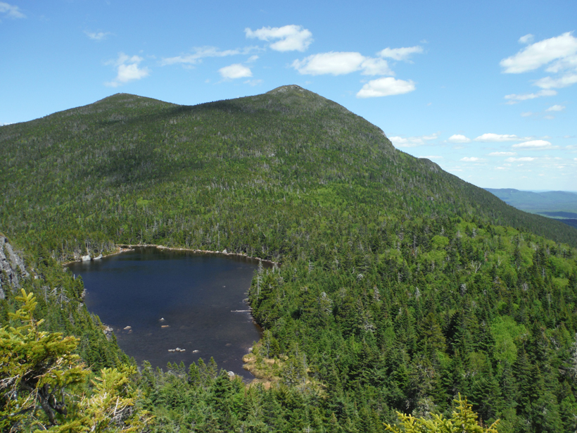
Effects of Acid Rain, Climate Change on Freshwater Lakes
New England lakes weathered years of acid rain. A new study tracks how they are faring after 30 years of regulation and how climate change factors into the equation.
Posted inResearch Spotlights
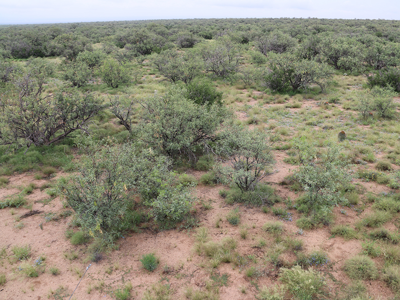
How Mesquite Trees Gain a Competitive Edge in Arid Arizona
A new study shows that mesquites employ hydraulic redistribution to move water between soil layers in the savannas of Santa Rita.

Posted inResearch Spotlights
Studying Soil from a New Perspective
Cosmic ray neutrons probe soil moisture in the Great Plains.
Posted inResearch Spotlights
A Closer Look at Turbulent Transport in Gravel Streambeds
Lab-built streams reveal new insights into turbulence-driven exchange of dissolved substances between stream water and sediments below.
Posted inResearch Spotlights
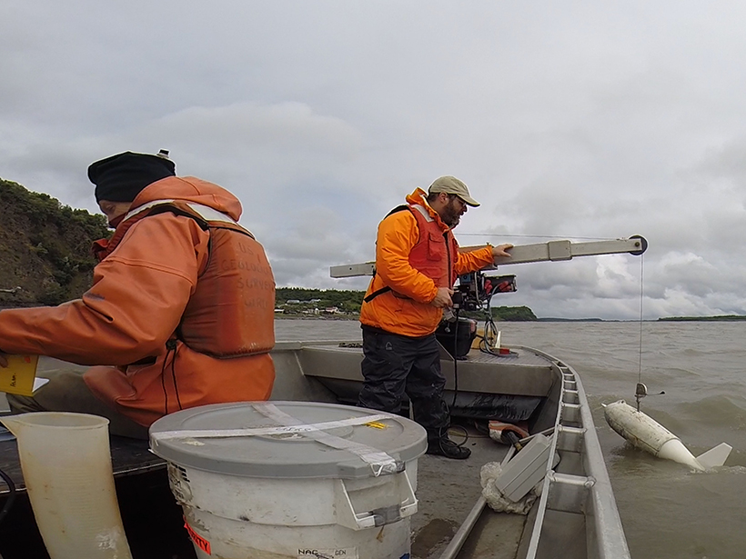
Using Microbes to Predict the Flow of Arctic Rivers
Bacterial DNA provides a good estimate of river discharge.
Posted inEditors' Highlights
Calibrating Hydrological Models by Satellite
Hydrological models are usually calibrated using observations of streamflow, but a new method uses remotely sensed land surface temperature for this purpose.

Posted inResearch Spotlights
Life in the Hyporheic Zone
Defining the chemical relationships between water, sediment, and organisms that thrive beneath riverbeds.
Posted inEditors' Highlights
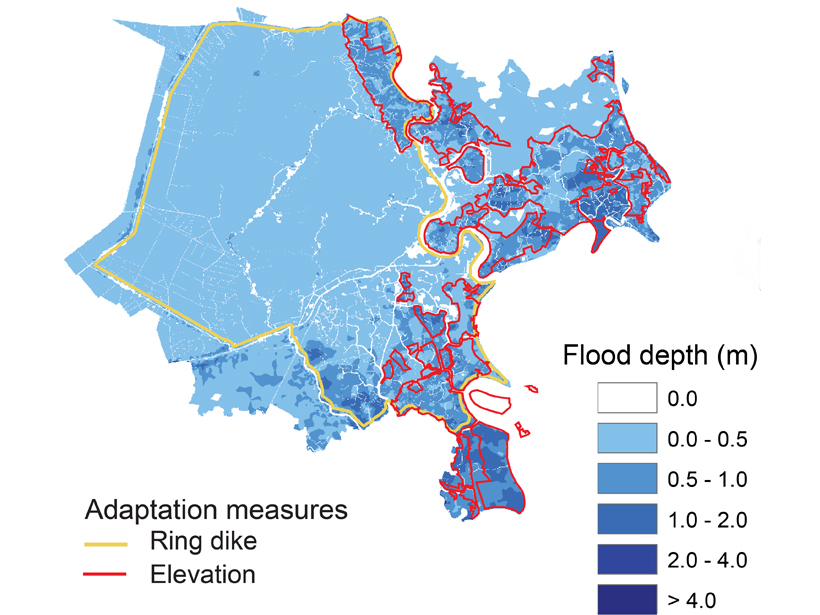
A City’s Challenge of Dealing with Sea Level Rise
A well-developed case study in Ho-Chi Min City, Vietnam, exemplifies how other mega-cities located on deltas could face the major challenge of adapting to rising sea-level.