Source: Water Resources Research
For the last century, the U.S. Geological Survey, Federal Emergency Management Agency, and others have collected data on flooding activity to assess damage and help predict future events. Accurately forecasting the frequency and magnitude of flooding events is critical for infrastructure design, environmental management, and disaster preparedness and response.
Although long-term flood records are useful, there may also be large-scale, systematic forces at work that past studies have not adequately captured. For one, traditional prediction methods often assume that flood hydrology is stationary, or, rather, that the magnitude and variability of flood events do not change systematically over time. However, climate change and water management practices could significantly alter the magnitude and variability of extreme flooding events, causing floods to become nonstationary.
Second, flood models often assume that a river channel’s capacity to convey water will remain static, yet river channels are known to be dynamic: constantly adjusting their width, depth, or gradient in response to changes in water flows or the amount of sediment being transported by the river.
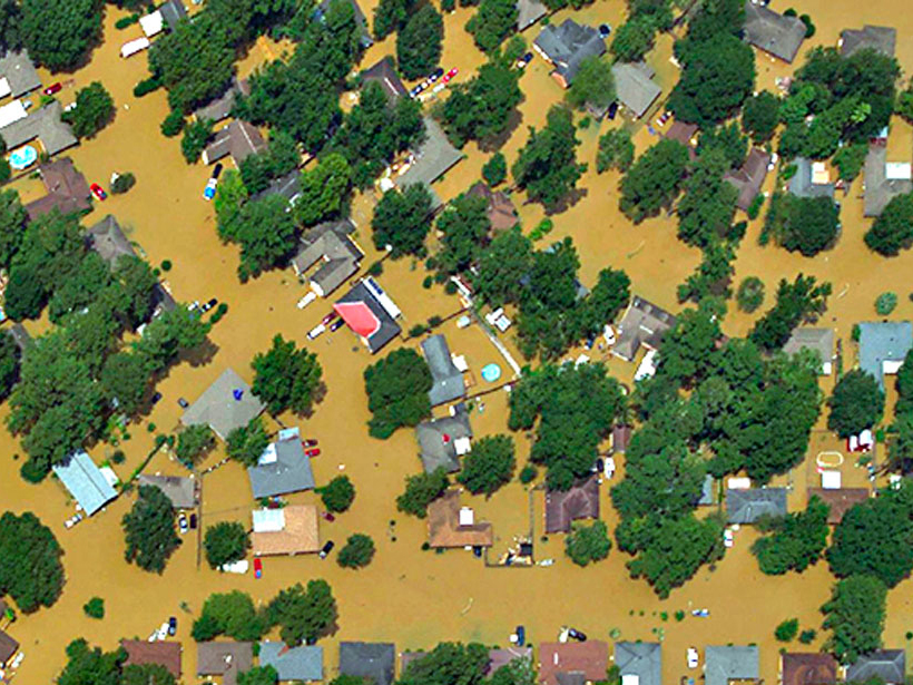
These phenomena, and their impacts on the area covered by an individual flood (inundation), can be difficult to study because of the limited data available to link them together.
Here Call et al. explore how changes in flood magnitudes, sediment supplies, and associated adjustments in channel geometry could alter the frequency or extent of flood inundation by either amplifying or subduing it. The team developed a model of reduced complexity to investigate these dynamics, incorporating data on the width, depth, and slope of a river channel, as well as sediment transport and annual peak discharges.
They also compared the model to real-life measurements in two river systems. These sites, the Le Sueur River and Maple River in Minnesota, have experienced several major floods since 2008. Because of climate change and artificial drainage of agricultural fields over the past 50 years, the region provided an apt example of the nonstationary hydrology the researchers hoped to study.
The team found that the long-term average horizontal width of floodplain inundation depends mainly on the coefficient of variation (standard deviation divided by the mean) of peak flows, whereas the frequency of floodplain inundation over a period of time depends on annual changes in channel geometry.
The study has the potential to change the face of flood inundation modeling. Recognizing the importance of changes in the variability of flood flows and accounting for the ability of river channels to adapt over time enable scientists to provide improved flood risk predictions to environmental organizations, government agencies, affected communities, and more. (Water Resources Research, https://doi.org/10.1002/2016WR020277, 2017)
—Sarah Witman, Freelance Writer
Citation:
Witman, S. (2017), Deciphering deluges, Eos, 98, https://doi.org/10.1029/2017EO081013. Published on 31 August 2017.
Text © 2017. The authors. CC BY-NC-ND 3.0
Except where otherwise noted, images are subject to copyright. Any reuse without express permission from the copyright owner is prohibited.