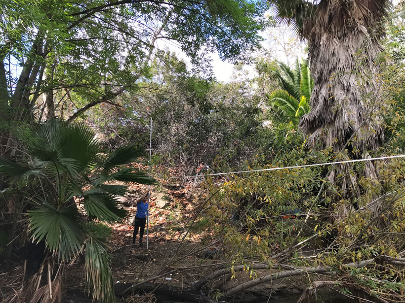
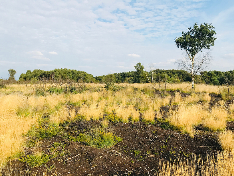
As fires burn across Southern California, researchers examine what role nonnative vegetation plays.
wildfires
Posted inNews
Wildfire Smoke Traps Itself in Valleys
Simulations show how wildfire smoke increases atmospheric stability inside some valleys, creating a feedback loop that prevents its dispersion.
Posted inNews
Wildfires Affect Water Resources Long After the Smoke Clears
Wildfires affect watersheds in myriad ways, from reducing evapotranspiration to changing soil repellencies, but new research suggests impacts on snowpack and runoff are the most significant.

Posted inNews
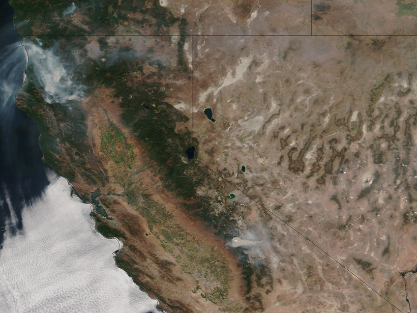
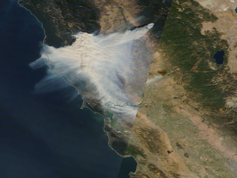
Golden State Blazes Contributed to Atmospheric Carbon Dioxide
A new case study investigates causes and effects of California’s 2017 wildfire season.
Posted inNews
What Wildfire Smoke Tells Us About Nuclear Winter
A cloud of smoke from 2017 Canadian wildfires was so huge that it self-lofted and stayed in the atmosphere for 8 months. Scientists used it as an example for climate simulations of nuclear warfare.
Posted inResearch Spotlights
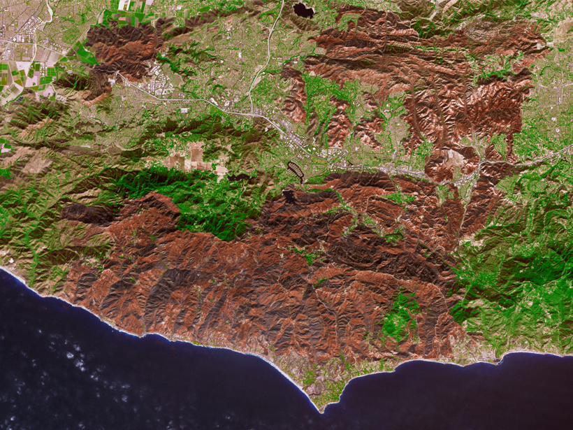
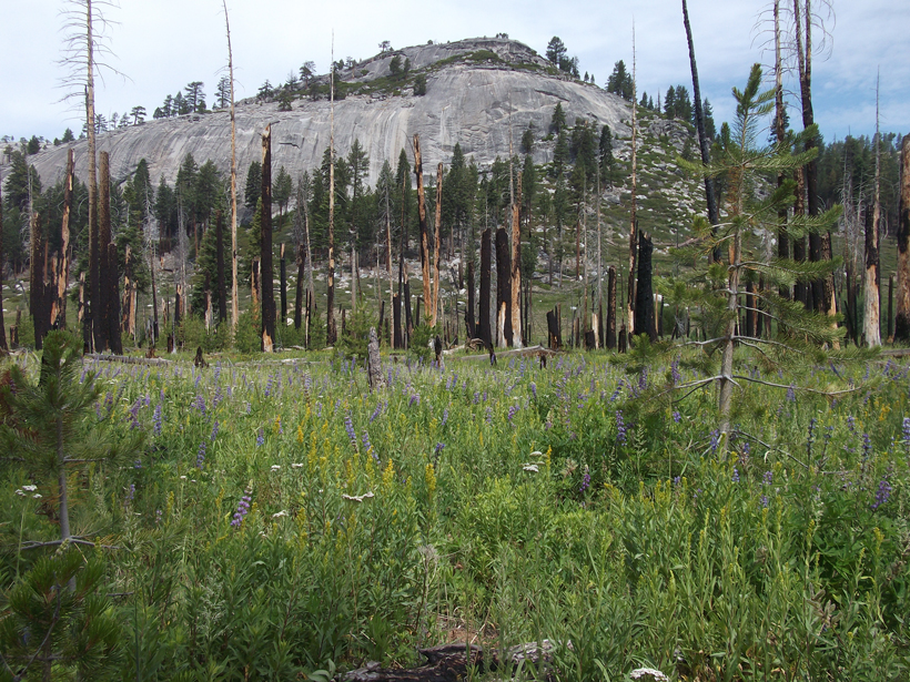
Restoring Natural Fire Regimes Can Yield More Water Downstream
Research in Yosemite National Park offers a new benchmark for understanding water balance changes in a mountainous basin 4 decades after its natural wildfire regime was reestablished.
Posted inNews
New Eyes on Wildfires
Onboard machine learning and compact thermal imaging could turn satellites into real-time fire management tools to help officials on the ground.
Posted inNews
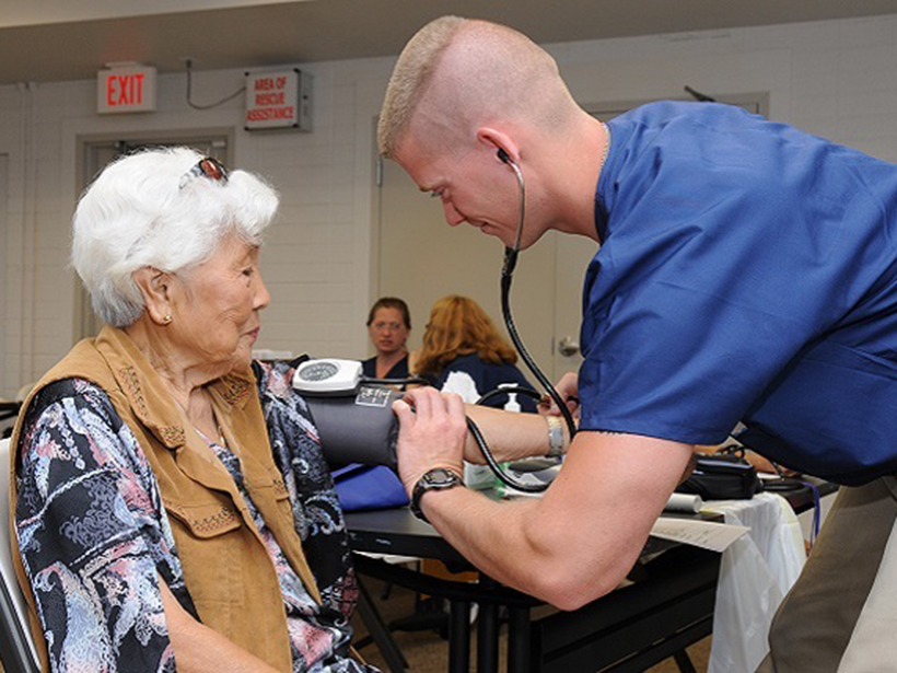
Wildfire Particulates Raise Cardiopulmonary Health Concerns
New research reveals that exposure to smoky air and the particulates created in wildfires can cause increased cardiovascular and respiratory hospitalizations for people 65 and older.
Posted inResearch Spotlights
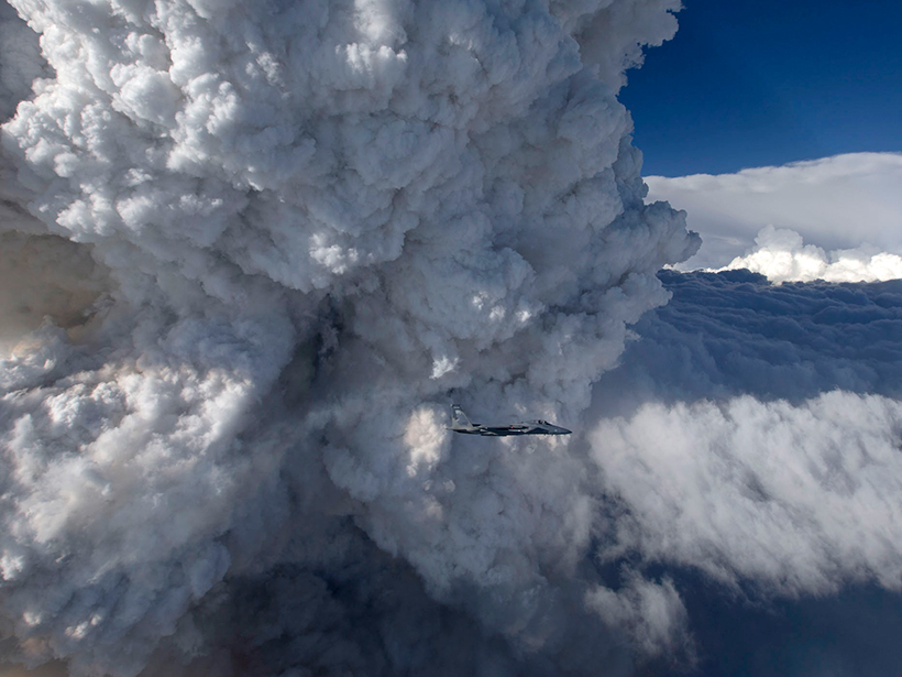
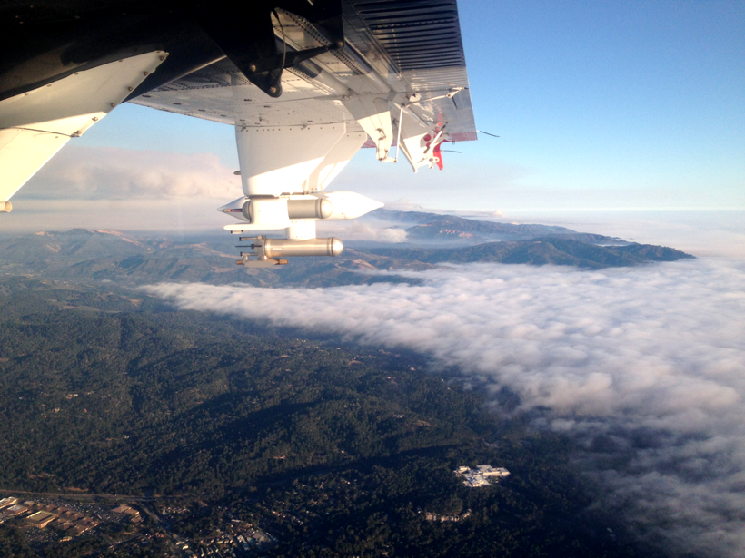
Probing Wildfire Smoke Plumes Up Close
Direct observations from flights over coastal California reveal more about aerosol plumes released by burning biomass.
Posted inScience Updates
Ancient Fires and Indigenous Knowledge Inform Fire Policies
Global Paleofire Working Group 2: Diverse Knowledge Systems for Fire Policy and Biodiversity Conservation; Egham, United Kingdom, 4–9 September 2018