• About
  • Special Reports
  • Topics
    • Climate
    • Earth Science
    • Oceans
    • Space & Planets
    • Health & Ecosystems
    • Culture & Policy
    • Education & Careers
    • Opinions
  • Projects
    • Postcards From the Field
    • ENGAGE
    • Editors’ Highlights
    • Editors’ Vox
    • Eos en Español
    • Eos 简体中文版
    • Print Archive: 2015–2025
  • Policy Tracker
  • Blogs
    • Research & Developments
    • The Landslide Blog
  • Newsletter
  • Submit to Eos
  • AGU.org
  • Career Center
  • Join AGU
  • Give to AGU
  • About
  • Special Reports
  • Topics
    • Climate
    • Earth Science
    • Oceans
    • Space & Planets
    • Health & Ecosystems
    • Culture & Policy
    • Education & Careers
    • Opinions
  • Projects
    • Postcards From the Field
    • ENGAGE
    • Editors’ Highlights
    • Editors’ Vox
    • Eos en Español
    • Eos 简体中文版
    • Print Archive: 2015–2025
  • Policy Tracker
  • Blogs
    • Research & Developments
    • The Landslide Blog
  • Newsletter
  • Submit to Eos
Skip to content
  • AGU.org
  • Career Center
  • Join AGU
  • Give to AGU
Eos

Eos

Science News by AGU

Support Eos
Sign Up for Newsletter
  • About
  • Special Reports
  • Topics
    • Climate
    • Earth Science
    • Oceans
    • Space & Planets
    • Health & Ecosystems
    • Culture & Policy
    • Education & Careers
    • Opinions
  • Projects
    • Postcards From the Field
    • ENGAGE
    • Editors’ Highlights
    • Editors’ Vox
    • Eos en Español
    • Eos 简体中文版
    • Print Archive: 2015–2025
  • Policy Tracker
  • Blogs
    • Research & Developments
    • The Landslide Blog
  • Newsletter
  • Submit to Eos

wildfires

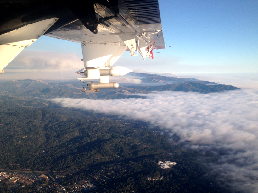
A Twin Otter turboprop flies over California, taking measurements of smoke from a wildfire.
Posted inResearch Spotlights

Probing Wildfire Smoke Plumes Up Close

Sarah Stanley, Science Writer by Sarah Stanley 10 April 201919 September 2022

Direct observations from flights over coastal California reveal more about aerosol plumes released by burning biomass.

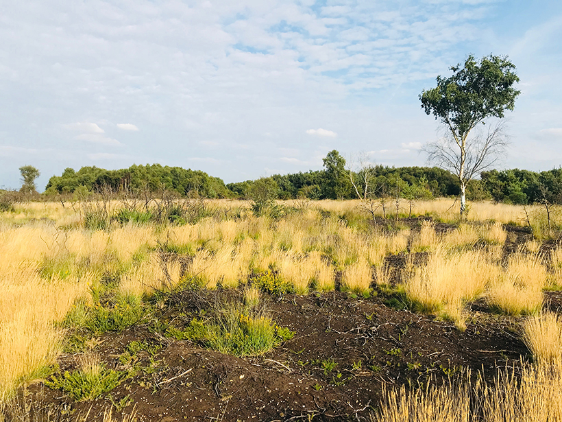
Vegetation growing in the heathlands of Chobham Common, Surrey
Posted inScience Updates

Ancient Fires and Indigenous Knowledge Inform Fire Policies

by C. Adolf, D. Hawthorne and D. Colombaroli 22 March 20194 May 2022

Global Paleofire Working Group 2: Diverse Knowledge Systems for Fire Policy and Biodiversity Conservation; Egham, United Kingdom, 4–9 September 2018
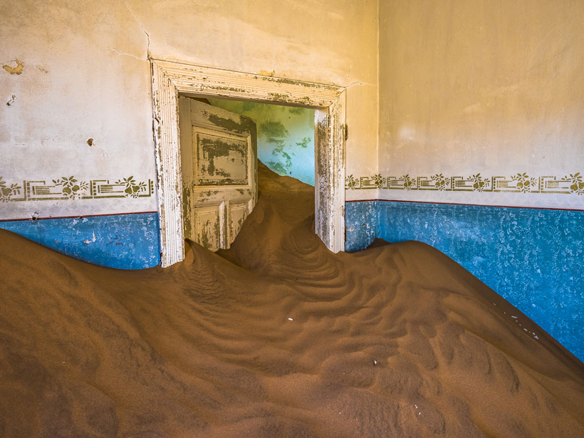
An abandoned desert town in Namibia
Posted inOpinions

Will the Desert Darken Your Door?

by Manuel Villar-Argaiz 20 March 20192 November 2021

Wildfires are becoming more common as climate changes. So too are the arid landscapes that spread in their wake.
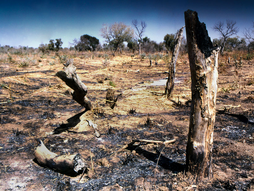
Charred trees in the aftermath of a fire in Mali
Posted inResearch Spotlights

A 192,000-Year Record of Northwest African Fire History

by Terri Cook 19 March 20197 October 2021

Biomarker analyses from an offshore sediment core suggest that increased fire occurrence around 55,000 years ago coincided with increased fuel loads and human settlement in this region.
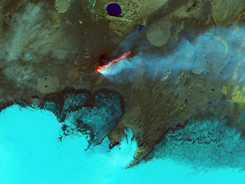
Holuhraun lava field in Iceland in September 2014
Posted inFeatures

Earth’s Devastating Power, Seen by Satellite

Kimberly M. S. Cartier, News Writing and Production Intern for Eos.org by Kimberly M. S. Cartier 25 January 20196 January 2023

Hurricanes, volcanoes, droughts, floods, fires, tsunamis: Satellites capture some of Earth’s most destructive forces.

Smoke from the Camp fire near Paradise, Calif. (top) and the Hill and Woolsey fires near Los Angeles (bottom) spreads across the West Coast and a portion of the Pacific Ocean in this 9 November 2018 true-color image from NASA's Terra satellite
Posted inNews

Invisible Wildfire Smoke Has Visible Health Impacts

by E. I. Garcia de Jesus 11 January 20195 January 2022

Wildfires in the Pacific Northwest were linked to upticks in respiratory problems in Colorado, a new study shows.
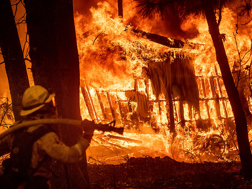
A firefighter looks on as homes burn in Northern California’s Camp Fire earlier in November 2018.
Posted inNews

Communities of Color Are More Vulnerable to Wildfires

Ilima Loomis, Science Writer by Ilima Loomis 29 November 201827 October 2022

Affluent white people are more likely to live in fire-prone areas, but race and socioeconomic vulnerability can put minority communities at greater risk, a new study finds.
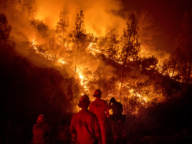
Firefighters at the Ranch Fire in California
Posted inNews

How Forecasting Models Are Changing the Way We Fight Fires

Jenessa Duncombe, Staff Writer by Jenessa Duncombe 17 August 20183 November 2022

Eos speaks with Andy Edman, western region chief of the Science and Technology Infusion Division at the National Weather Service, about how the agency is helping wildfire crews fight fires from space.

Posted inEditors' Highlights

Radar Data Highlights Areas Damaged by Wildfire and Debris Flows

by B. Pirenne 14 August 201828 October 2021

Synthetic aperture radar data post-processing can be used to analyze changes in the landscape, providing a useful tool for disaster response.
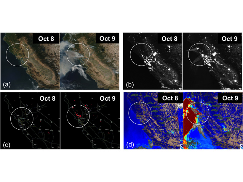
https://doi.org/10.1029/2018GH000136
Posted inEditors' Highlights

New Strategies to Protect People from Smoke During Wildfires

by Gabriel Filippelli 21 June 201822 October 2021

Satellite measurements coupled with inexpensive air quality monitors could help protect humans from smoke particulates during wildfire events.

Posts pagination

Newer posts 1 … 18 19 20 21 22 Older posts
Over a dark blue-green square appear the words Special Report: The State of the Science 1 Year On.

Features from AGU Publications

Research Spotlights

Mapping Childhood Lead Exposure Risk in the United States, Neighborhood by Neighborhood

8 October 20268 October 2026
Editors' Highlights

Limits of Satellite Detection of Extreme Carbon Cycle Events

7 October 20267 October 2026
Editors' Vox

Where Fire Ends, Chemistry Begins

30 September 202630 September 2026
Eos logo at left; AGU logo at right

About Eos
ENGAGE
Awards
Contact

Advertise
Submit
Career Center
Sitemap

© 2026 American Geophysical Union. All rights reserved Powered by Newspack