
Wetlands are biodiversity hot spots and provide important carbon storage. During heavy rains, they act like natural sponges on the landscape by storing and slowing the flow of stormwater—reducing downstream flooding and protecting infrastructure.
As the climate changes and extreme flooding events become more frequent and intense, flood protection from wetlands may become even more valuable for both the natural and built environment. However, since 1700, at least 40% of the wetland area in the United States has been lost to development and agriculture, meaning these benefits are being lost.
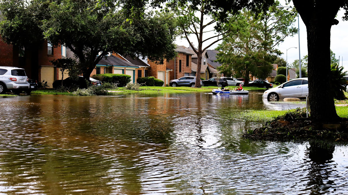
A new study in Nature Water puts a price tag on one key wetland service: reducing flood risk. Wetland loss across the contiguous United States between 1985 and 2023 has increased residential flood insurance claim payments by more than $10 billion, accounting for 9% of all riverine flood loss payments, the study suggests, with the highest costs in Houston, southeastern Louisiana, and coastal Florida.
“That number is actually a large underestimate of how much wetland loss has increased flood damages in total,” said Jesse Gourevitch, a former economist with the Environmental Defense Fund and one of the study authors. Because only about 30% of flood losses are insured through the National Flood Insurance Program (NFIP), the main source of claim data in the study, the true economic cost of wetland loss is likely much higher, Gourevitch explained.
Wetland Loss Mapped Across the Country by Costs
Researchers used payment data from NFIP claims connected to river flooding, a direct way to tie individual properties to specific flood losses. They then connected these data to maps of wetlands in upstream subwatersheds and tracked how much a given wetland area changed since 1985. They also accounted for factors that may have influenced flood severity, such as heavy rain events and changes in impervious surfaces like roads and roofs.
This study tracked individual properties with multiple flood-related claims, comparing the property before and after upstream wetland changes occurred. The approach was “one of the most direct ways in which we can observe flood losses at a property level,” said Gourevitch.
The researchers also examined the monetary value of wetlands throughout U.S. subwatersheds. On average, 1 hectare of wetland provides $15,738 in avoided flood damages, though that value varies throughout the country. In the top 10% of subwatersheds, wetlands are valued at an average of $24,783 per hectare. The top 1%, located in Appalachia and New England, along the Gulf Coast, and in parts of Oregon, California, and Washington, are valued at an average of $301,268 per hectare. These high-value areas are concentrated in regions with high downstream flood exposure and losses.
“We see that in about 16% of subwatersheds, marginal benefits provided by wetlands solely in terms of their flood mitigation benefits outweigh the cost of conservation,” Gourevitch said.
Protecting Wetlands Protects People and Property
Wetland loss also affects people unevenly. Flood risk is often higher in lower-income communities and communities of color, where residents may live in low-lying and flood-prone locations because of decades of discriminatory zoning and housing policies.
“Future flood risk will continue to disproportionately impact vulnerable communities. We know that wetlands reduce this risk, and if we don’t protect them, we’re adding to the risk for those most vulnerable communities.”
“Future flood risk will continue to disproportionately impact vulnerable communities. We know that wetlands reduce this risk, and if we don’t protect them, we’re adding to the risk for those most vulnerable communities,” said Helena Garcia, a recent Ph.D. graduate from the University of North Carolina’s Environment, Ecology, and Energy Program and one of the study’s authors.
In 2023, the Supreme Court ruled in Sackett v. EPA to reduce protections for wetlands that don’t have a surface water connection to other federally protected waterways. A proposed rule from the Trump administration threatens to change the definition of a wetland even further by winnowing down protected areas to only those that have long-term surface water.
The wetland areas no longer protected would provide $177 billion in flood mitigation benefits to residential properties, the authors suggest, and the flood damage stemming from this wetland loss would be greater in census tracks with lower income and nonwhite households.
“We really see parts of the southeastern U.S. emerge as these areas where [wetlands are] providing a lot of value and are unprotected,” Gourevitch said. “Texas, Louisiana, Mississippi, Alabama, and Georgia are certainly areas of concern.”
The study includes an interactive map tool for local leaders and residents to see where future wetland loss may translate to expenses greater than the cost of conservation.
“Wetlands are inherently valuable spaces for many reasons. If we lose wetlands upstream, we’re losing that capacity of the landscape to filter out pollutants. We’re losing the capacity of the landscape to soak up water. We’re losing the capacity of those habitats to support ecosystems,” said Anne Smiley, a postdoctoral researcher at the University of North Carolina’s Institute for the Environment who was not part of the study.
“This study is a really important contribution, because [the researchers] have quantified something that’s been very difficult to quantify,” said Smiley. “They’re communicating the value of these wetlands in a new way.”
—Rebecca Owen (@beccapox.bsky.social), Science Writer