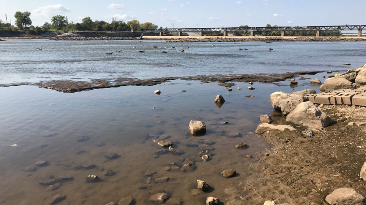
Source: Community Science
More than half of Oklahoma’s surface waterways are considered compromised or impaired, meaning that their water quality levels are too low to support designated uses such as supporting aquatic life and recreation.
Limited funds for monitoring water quality combined with gaps in available data make it difficult to accurately assess water conditions across the state. Community science projects are one possibility for increasing reliable datasets and filling gaps in water quality coverage, suggest Haygood and Halihan.
The authors detail What’s in Your Water?, a water quality community science project that captured more than 100 water samples across 20 counties in Oklahoma. From these samples, community scientists gleaned data about alkalinity, conductivity, total dissolved solids, temperature, and levels of metals, including lead and mercury. These community-generated data helped supplement existing state monitoring efforts by providing additional water quality measurements across multiple locations and sampling periods.
What’s in Your Water? project scientists trained community members to retrieve water quality measurements using standardized testing procedures adapted for use in the field using portable equipment. Participants recorded their findings on an online form, allowing scientists to review the collected data.
Sampling locations were chosen on the basis of accessibility and local concern as well as how information gleaned there could supplement existing monitoring systems. At the end of each sampling session, participants were offered educational materials and opportunities to continue taking samples independently. Later, the project scientists established workshops and built connections to K–12 schools in the area, continuing to engage participants virtually after the initial project had concluded.
To evaluate the reliability of the project’s collected data, researchers compared water temperature measurements with records from U.S. Geological Survey monitoring stations. Both datasets showed cooling trends. Comparisons for other study measurements were not available because state recording data were so limited in the region already.
Successful projects require reliable measurements, accessible participation options, clear communication, and a plan to continue the work past the end of the funding period, the authors note. Projects like this one demonstrate how community science can expand water quality monitoring opportunities while giving local communities a greater role in identifying and investigating environmental concerns, the authors say. (Community Science, https://doi.org/10.1029/2026CSJ000186, 2026)
—Rebecca Owen (@beccapox.bsky.social), Science Writer