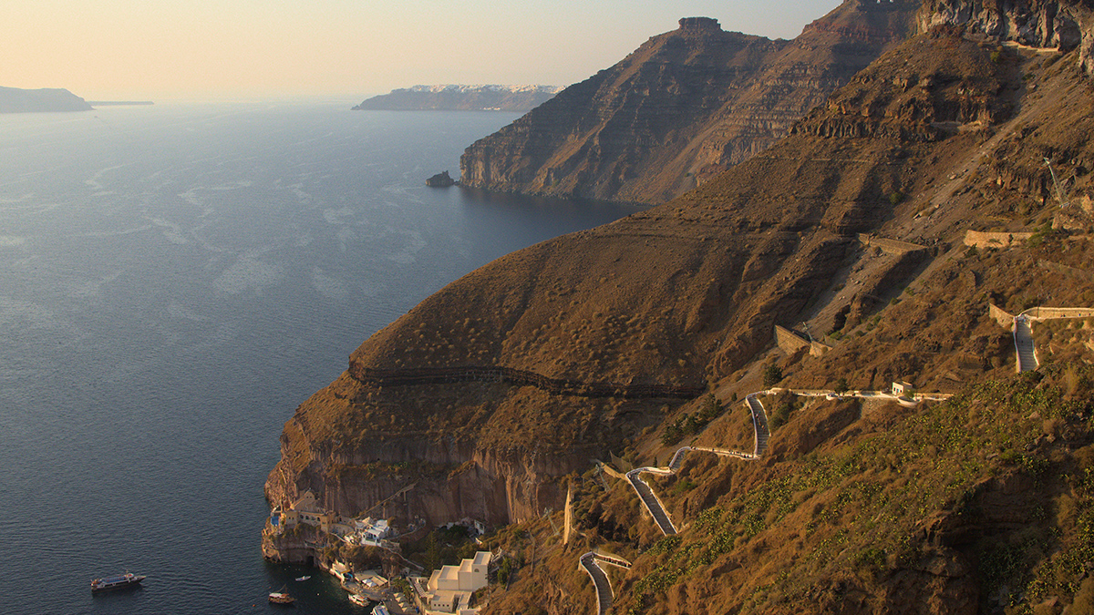
Beneath the Aegean Sea off the steep cliffs of Santorini, Greece, lies an unparalleled geologic record of a cataclysmic volcanic past.
The eruption of Thera (modern Santorini) in 1600 BCE was one of the most powerful in human history, destroying the city of Akrotiri and forming the iconic modern caldera. The event extended beyond the island itself, launching 12-meter-high tsunamis toward Minoan settlements on the nearby island of Crete and carrying deposits of pumice as far away as Egypt.
An overlooked explanation may have been lying beneath the sea all along.
Though Santorini is one of the most extensively studied volcanic systems on the planet, the exact forces behind the tsunamis associated with the Minoan eruption remain a subject of ongoing debate. Two prevailing theories propose that the tsunamis were the result of depositional mechanisms associated with either the collapse of the caldera or the movement of volcanic materials.
According to new research, however, an overlooked explanation may have been lying beneath the sea all along. Undulating seafloor bedforms (USBs) indicate that the Minoan tsunamis resulted from an interplay of processes rather than deposition alone.
A 3D understanding of seafloor bedforms is key to better characterizing the underlying processes of tsunamigenesis during large eruptions, said Jens Karstens, lead author of a study published in Earth and Planetary Science Letters and a marine geoscientist at the GEOMAR Helmholtz Centre for Ocean Research Kiel.
Plugging in to USBs
Using newly acquired seismic profiles alongside precise bathymetric information, Karstens and his team examined bedforms ringing Santorini’s caldera, some reaching distances of up to 25 kilometers (15.5 miles) from the volcano itself.
The team identified three distinct types of USBs around Santorini, each with its own formation history: depositional, slope failure related, and deep-seated deformational.

Depositional bedforms, found exclusively to the north of the island, formed from the thrusting of ignimbrite, a type of hardened volcanic tuff. These bedforms exhibit a convex shape and relatively undisturbed internal stratigraphy, indicating they formed from pyroclastic flow deposits.
The team found larger bedforms, linked to slope failures (deformation), to the east, south, and west of the caldera. These USBs display a concave shape and chaotic internal architecture and, notably, lack any cover from eruption material. This lack suggests the features formed after the main debris flows.
Last, the study found bedforms associated with more deep-seated deformation on the southwestern flank of the caldera. This region, influenced by geological rifts, stretches to more than 200 meters (656 feet) below the seafloor. The USBs here also lacked cover from eruption material, indicating that they originated or reactivated during the Minoan event.
Together the bedform histories reveal that during the Minoan eruption, both deposition and widespread slope failures were likely at play simultaneously, amplifying the strength of the resulting tsunamis.
The study “adds an important layer of intricacy to the tsunami story that I thought was quite simple and straightforward,” said Christopher Satow, an Earth scientist at Royal Holloway, University of London, who was not involved with the study.
Beyond Santorini
Apart from the historical context, the new research has implications for studying contemporary volcanic hazards in the Aegean and beyond.
Santorini’s location in a still-active tectonic region makes it susceptible to earthquakes with magnitudes greater than 7. The bedforms not only provide crucial knowledge about mechanisms underlying hazards such as slope instabilities but also offer a unique glimpse into the scale of risks they pose to vulnerable coastal communities, Satow said.
“There is no indication of any immediate hazard right now.”
Karstens emphasized that Santorini’s current seismic situation calls for preparation, not panic. “There is no indication of any immediate hazard right now,” he said. “Our results show that these slope instabilities are important structures to continue studying and keep an eye on because we don’t fully understand how they may contribute to tsunamis.”
Members of the research team look forward to conducting similar seismic and bathymetric surveys at submarine volcanoes all over the world. First up is the historic site of Anak Krakatau in Indonesia, which experienced major eruptions in 1883 and 2018.
—Mackenzie White (@MackenzieMtn), Science Writer