

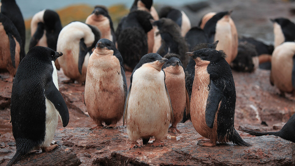
Luckily for Heather Lynch, Adélie penguins eat mostly two things: fish and krill. Krill have a distinct pink color that penguin poop retains. And penguins form colonies, meaning that together, they produce “absolutely prodigious quantities of guano,” she said.
To put it simply: We can see penguin poop from space.
A new study, published in Current Biology, uses satellite imagery of Adélie penguin guano to track how penguin diets and populations have shifted as sea ice in Antarctica has declined. The method has “totally opened our eyes to what’s going on across the continent,” said Lynch, an ecologist at Stony Brook University and coauthor of the new study.
“Linking diet to sea ice dynamics and population change is a key piece in the puzzle of how environmental change will influence the Southern Ocean ecosystem,” Alexandra Strang, a doctoral candidate at the University of Canterbury in New Zealand who was not involved in the new research, wrote in an email. Strang studies population changes in Adélie penguins using satellite imagery.
Guano Sleuths
“The satellite archive is like a time machine for Antarctica, so we can look at not just what penguins are eating now, but also what they were eating all the way back to the earliest days of the Landsat satellite program.”
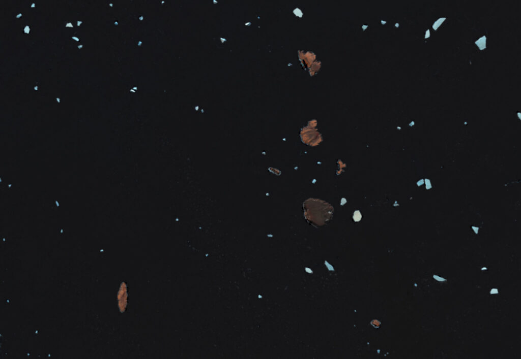
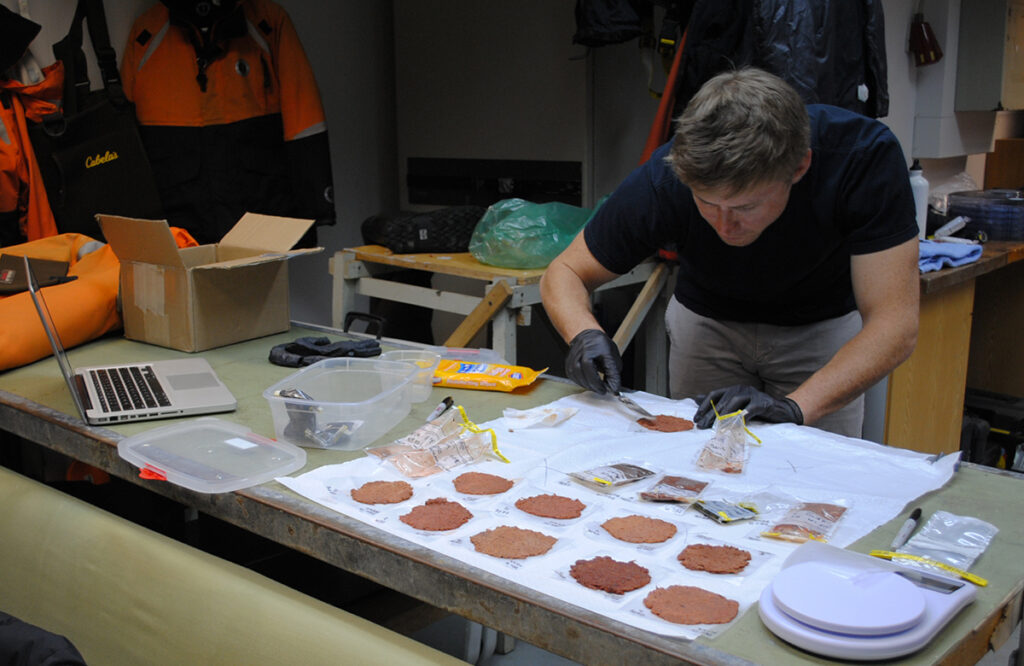
To parse out trends in Adélie penguin diets, Lynch and the research team first needed to determine whether satellite imagery could reliably capture actual differences in guano content and color. To do this, they analyzed the spectral signal (a quantitative measure of color) and nitrogen isotope content (an indicator of the types of prey present in guano) of 103 guano samples that had been collected from 16 breeding colonies on the Antarctic Peninsula.
Next, they analyzed daytime images of Antarctica from 1984 to 2013 captured by the Landsat program, a joint NASA–U.S. Geological Survey satellite program that has provided continuous images of Earth since 1972. The Landsat images allowed researchers to find penguin breeding colonies and their respective piles of colorful poop. Then, the team compared those images to sea ice data, also collected via satellites, from the National Snow and Ice Data Center that showed where sea ice in Antarctica is declining.
“The satellite archive is like a time machine for Antarctica, so we can look at not just what penguins are eating now, but also what they were eating all the way back to the earliest days of the Landsat satellite program,” Lynch said.
The researchers found that penguin colonies in West Antarctica tended to eat diets higher in krill, while colonies in East Antarctica had diets higher in fish. They also found that diet was linked to population changes: Penguin colonies with diets higher in krill were more likely to have declining populations over the long term when compared to colonies with diets higher in fish. Decreased sea ice was associated with diets higher in krill as well.
Such patterns are an indicator that ecosystems in the Southern Ocean are changing in ways scientists should “probably understand better,” Lynch said.
Because of the fine temporal resolution of Landsat data—the satellites take images of each colony every 8 days—researchers were also able to identify diet patterns within years, including some that Lynch didn’t expect. She’d thought certain colonies would consistently be either krill specialists or fish specialists, but some colonies seemed to eat more krill in the summer than they did in either fall or spring.
“This rapid-repeat schedule of the Landsat program is really neat because it allows us to get week-to-week changes that we just otherwise wouldn’t have any handle on,” Lynch said.
Still, why penguins are changing their diets when sea ice melts remains uncertain. It’s possible that less sea ice alters fish populations, changing prey availability, but more research is needed, Lynch said. “That’s a question that we will hand off to our colleagues who work in the ocean.”
Big Questions, Big Data
“Getting these unbroken datasets decade after decade can be incredibly valuable, and their value plays out over time.”
Lynch said the study highlights the importance of workhorse programs like Landsat, which provide consistent information over long time periods. “Getting these unbroken datasets decade after decade can be incredibly valuable, and their value plays out over time,” she said. “It’s not always obvious—we don’t know what kinds of questions we’ll have 30 years from now [that satellites can help answer].”
Scientists are just beginning to understand the extent to which satellite imagery can be used to understand ecological changes. There is a disproportionate amount of satellite imagery of the poles compared to the rest of the globe, meaning much of what ecologists are learning about satellites’ utility is happening in Antarctica. But what scientists learn there could be applied to ecosystems elsewhere in the world, Lynch said.
“Often ecological signals are masked with lots of variability or ‘noise’ and so, to detect these ecological trends, we need long-term data,” Strang wrote. “With satellite imagery, we can do this. We can access more remote locations without having to be there, whilst drawing on the locations that we do have on-the-ground data from.”
For Adélie penguins, at least, the value of satellite datasets “will accrue over time,” Lynch said, continuing to help researchers answer questions about penguin diet, prey availability, and how Antarctic ecosystems are changing. For example, she wants to continue to use Landsat data to determine whether krill fishing affects penguin diets. “Those are the kinds of questions we can start to ask now that we can measure what they’re actually eating directly.”
—Grace van Deelen (@gvd.bsky.social), Staff Writer