


“Reforestation is a helpful tool, not a stand-alone solution to climate change.”
Emilio Vilanova, ” Location, Location, Location: The “Where” of Reforestation May Matter More Than the Extent”
CLIMATE ARCHIVE
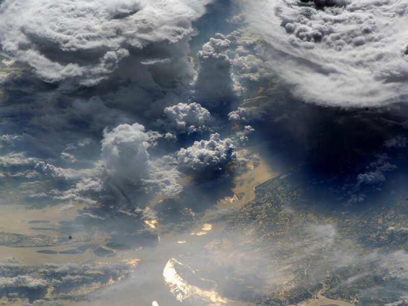
Arctic Sea Ice Loss May Be Reshaping the Asian Monsoon
The connections are still cloudy, but scientists are beginning to reveal ways in which disappearing sea ice may affect the annual monsoon thousands of kilometers away.
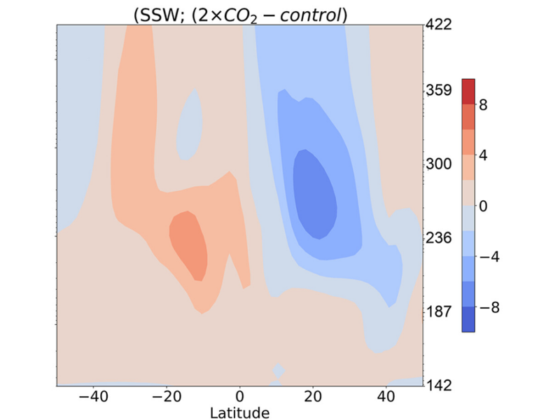
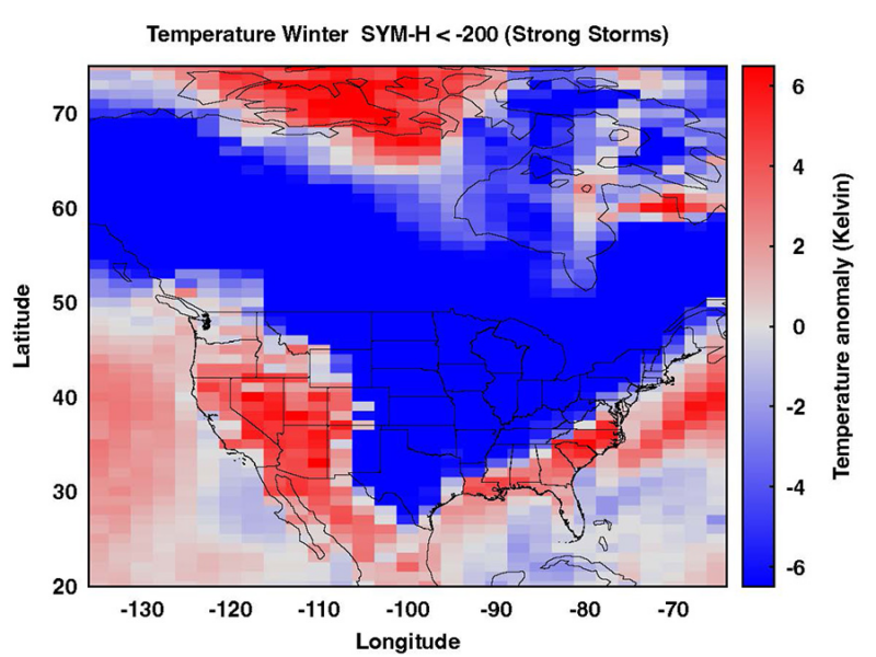
Rising CO2 Alters Upper Atmosphere Response to Stratosphere Sudden Warming
A whole-atmosphere model simulation shows that rising CO2 changes how the upper atmosphere and ionosphere respond to a sudden stratospheric warming (SSW), with implications for future space weather.

Stratospheric Aerosol Injection Might Make Flights Smoother
A new study suggests an intervention aimed at cooling the planet could have the additional benefit of reducing aircraft turbulence.

Slums Are Bearing the Brunt of the Climate Crisis—And Devising Solutions
As temperatures rise, it is the poor who suffer most. The coping strategies of those living in informal settlements may hold lessons for cities of the future.
太阳风暴如何影响地球天气?一项新研究探讨其作用机制
一项新研究有助于我们更清晰地了解太阳活动影响天气的机制。
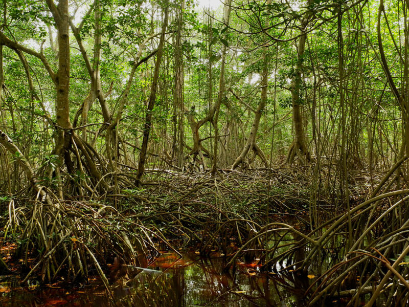
Big Trouble from Little Wetlands
New research suggests that small wetlands, previously unaccounted for in the global methane budget, are responsible for about 25% of global methane emissions.
We’re Getting Better at Knowing When Climate Change Is to Blame, National Academies Report Says
Scientists have gotten much better at parsing how severe events are linked to climate change, a long-awaited report from the National Academies of Sciences, Engineering and Medicine has found.
The report was developed by 14 experts (including climatologists, meteorologists, and atmospheric scientists) and updates a 2016 report on the same subject. That report found…
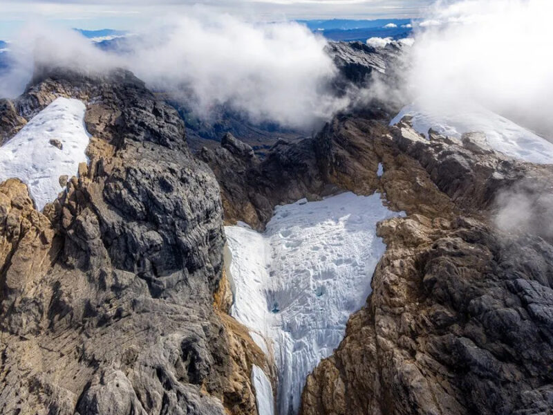
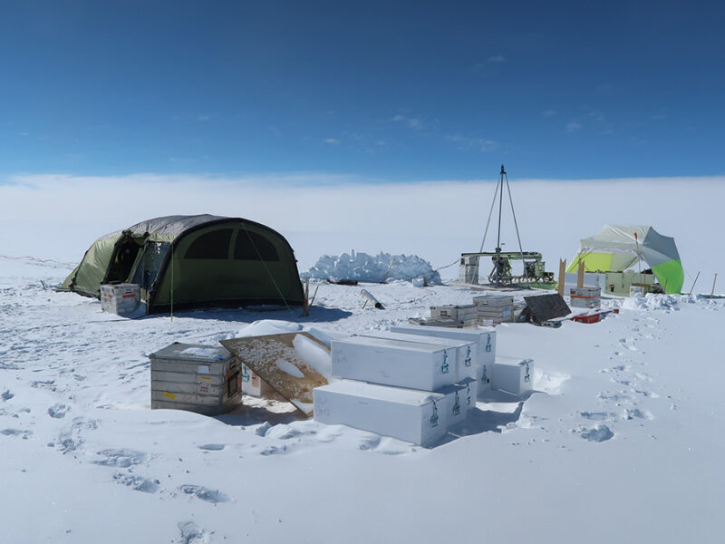
The “Eternity Glaciers” Are Almost Gone
The equatorial glaciers atop Puncak Jaya, Oceania’s tallest peak, have shrunk by about 95% since 2002, according to a new photogrammetry mapping effort.
These “Clumped” Molecules Could Offer Clues About Earth’s Climate
Researchers investigated concentrations of clumped methane isotopes to learn more about how levels of the potent greenhouse gas have changed over the industrial era.
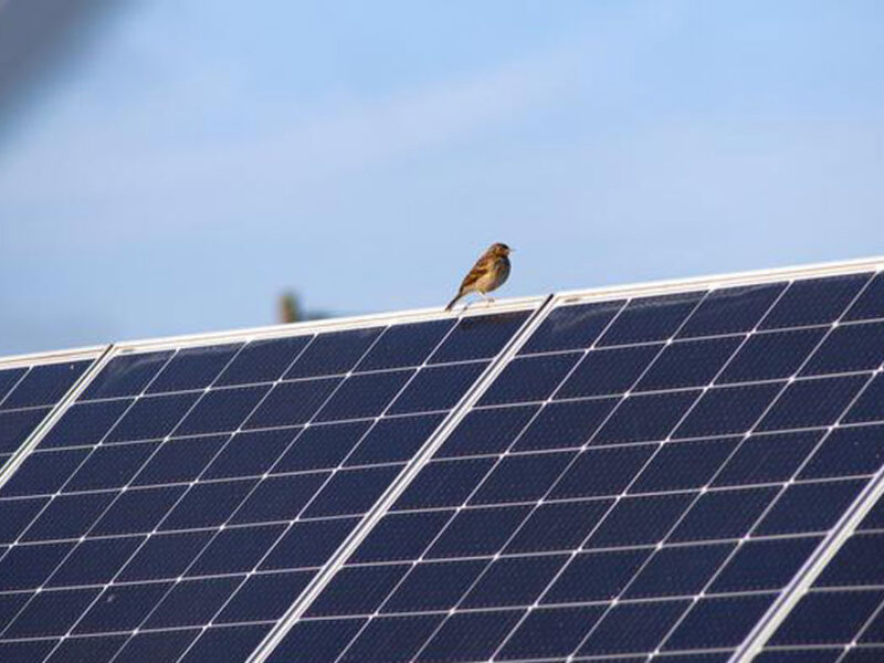
For the Birds: Solar Panels over Peatlands May Increase Avian Biodiversity
A new study finds an unusual mix of bird species thriving in a German solar park built on degraded peatland.
Something went wrong. Please refresh the page and/or try again.