Source: Water Resources Research
The development of water infrastructure is central to the success of human society. Water engineering supports renewable energy, agricultural irrigation, urban development, and industry. But the expansion of water infrastructure significantly alters the natural flows of affected streams. As flows change, environmental impacts follow; some effects are evident, but some are difficult to identify. One thing is clear, however: As streams change, so does fish habitat.
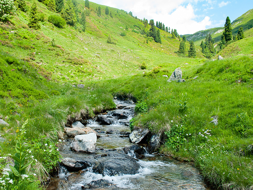
Several software products exist to model habitat availability for fish and other aquatic species, including Computer Aided Simulation Model for Instream Flow and Riparian (CASiMir) and Physical Habitat Simulation software (PHABSIM). These models establish a threshold for minimum streamflow, below which the habitat for fish decreases significantly. These models are sensitive to low-velocity regions in streams, like quiet zones along banks, but the software packages lack the resolution—and computing power—to represent smaller features like boulders. The big stones in streams, collectively known as macroroughness elements, create still zones in their downstream wakes. Such features provide critical habitat and refuge for fish, especially in alpine environments downstream of water projects.
Building on earlier analyses, Niayifar et al. introduced a new analytical approach that models the calm zones behind boulders in alpine streams. The model is physically based, meaning model inputs can be easily obtained through common field methods like aerial surveys. The authors applied the model using four different statistical stone size distributions and evaluated how different-sized rocks affected the stream’s minimum flow thresholds. Other parameters, like the number of stones in a stream and its width and slope, can also be varied in the model. Using this foundation, the authors developed a case study and applied the model to a multiobjective optimization problem for hydropower system operational policies.
Consistent with established understanding, the authors found that larger stones create more wake area and contribute more to fish habitat. However, stone size decreases moving downstream, which results in fewer ecologically suitable areas for fish and lower flow thresholds. In other words, smaller stones can free more water for engineering projects because they do not yield as much fish habitat.
The results suggest that the minimum flow needed for fish habitat changes across space as a result of stone size while also shifting through time as a stream’s geomorphology evolves. The results validated the methodology developed in the study and provide a different approach for determining minimum flow thresholds.
From a practical standpoint, the presented approach offers water managers a tool to evaluate the ecological impacts of proposed hydropower locations and altered stream flows. As water resources grow increasingly strained from human population growth and climate change, the new methodology may help promote more environmentally sustainable river management policies. (Water Resources Research, https://doi.org/10.1029/2018WR022860, 2018)
—Aaron Sidder, Freelance Writer
Citation:
Sidder, A. (2019), Modeling river boulders to improve hydropower sustainability, Eos, 100, https://doi.org/10.1029/2019EO121023. Published on 30 April 2019.
Text © 2019. The authors. CC BY-NC-ND 3.0
Except where otherwise noted, images are subject to copyright. Any reuse without express permission from the copyright owner is prohibited.