Source: Geophysical Research Letters
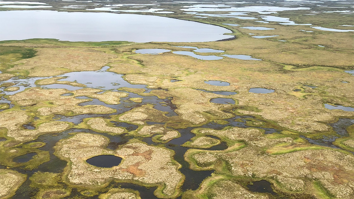
Small ponds emit a surprisingly large amount of methane compared with larger water bodies. Because ponds are so tiny, they have been difficult to track, and their contributions to terrestrial greenhouse gas emissions are largely unaccounted for. In a new study, Mullen et al. used deep learning to construct a fine-grained map of ponds in Alaska.
The counterintuitive relationship between pond size and carbon emissions has to do with the perimeter-to-surface-area ratio. The smaller a pond is, the greater the ratio is. A large perimeter accumulates more decaying leaf litter, sediment, and other terrestrial carbon. Smaller ponds also are shallower, so their carbon loads are more concentrated, and gases generated at the bottom are just a stone’s throw from the surface.
Because ponds are so small (<0.01 square kilometer), their size can fluctuate drastically in response to environmental factors like precipitation and permafrost. In the new study, researchers used Planet Labs’ PlanetScope satellites to census ponds in Alaskan boreal and tundra landscapes and tracked them over several years.
These satellites provide daily imagery at 3- to 5-meter resolutions, but even these resolutions are too coarse to fully delineate small ponds with traditional methods. To reach a greater resolution, the team turned to machine learning.
They used convolutional neural networks—a type of machine learning that specializes in classifying complex imagery. The technique has been successful in monitoring large lakes in the past but until now has not been used to monitor ponds.
The team looked at four areas in Alaska, including a number of different ecosystem gradients. Using data from 2019 to 2021, they mapped ponds down to 0.0001 square kilometer and tracked them over time.
The surface area of ponds varied by 20%–40% in a single season. In addition, on the basis of an existing data set, the team found that ponds can contribute a broad range of methane emissions, depending on the local environment—anywhere from 8% to 37% of the total methane stemming from freshwater lakes and ponds.
The findings, the team says, demonstrate a new and improved way to monitor small water bodies, and it highlights the importance of fine-scale tracking for habitat assessment, land cover change, and biogeochemical modeling. (Geophysical Research Letters, https://doi.org/10.1029/2022GL102327, 2023)
—Sarah Derouin (@Sarah_Derouin), Science Writer