Source: Journal of Geophysical Research: Oceans
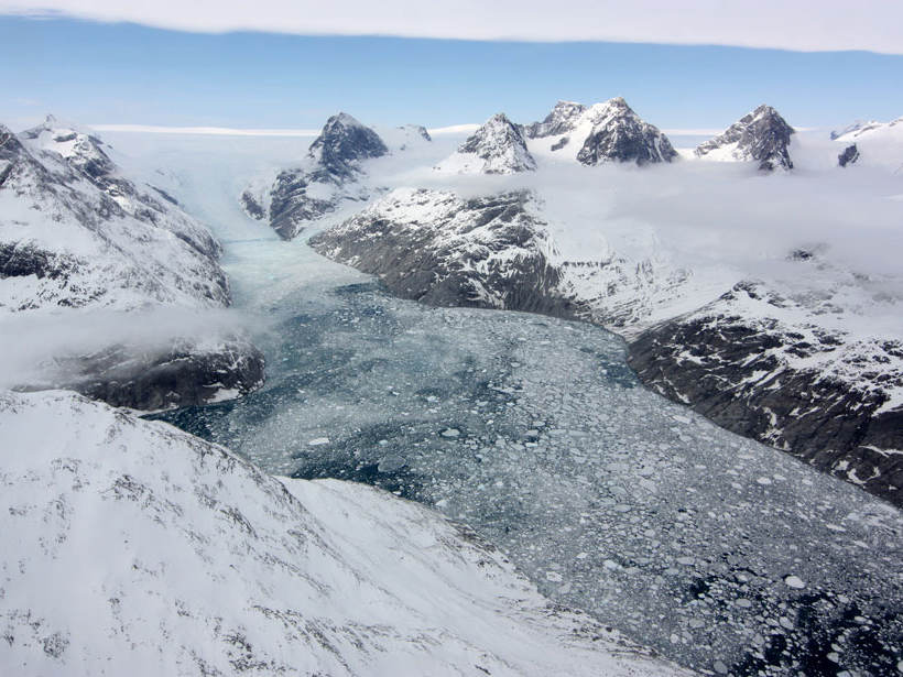
Monitoring ocean salinity is essential for understanding its impact on ocean circulation, Earth’s water cycle, marine ecology, and climate change. Ocean salinity in the Arctic is of particular interest because it changes significantly with seasonal ice cover and is expected to decrease as the Greenland ice sheet melts and releases massive amounts of freshwater.
Despite its importance, ocean salinity in the Arctic has been poorly monitored because of the harsh environment and obstacles posed by sea ice, which impede field measurements. Moreover, surface salinity is most difficult to measure at high latitudes because of colder temperatures. However, a new study by Garcia-Eidell et al. shows that satellite-based methods produce reasonably accurate measurements of Arctic sea surface salinity from season to season and year to year.
The research team compared four different satellite-based strategies to map monthly changes in Arctic sea surface salinity from 2011 to 2015. Each method used data from either NASA’s Aquarius mission or the European Space Agency’s Soil Moisture Ocean Salinity (SMOS) Earth Explorer mission.
Both satellites mapped ocean salinity by picking up faint microwave signals emitted by the sea surface, which change along with salinity. However, the precise design of their instruments differed, as did the mathematical analyses used to calculate salinity from microwave measurements. Three different analytical methods were used to derive salinity from the Aquarius data, and one derived salinity from the SMOS data.
To gauge the accuracy of the four different methods, the researchers compared the satellite measurements with Arctic salinity data obtained during several research cruises aboard the icebreaker R/V Polarstern and from the Coriolis Ocean Database for Reanalysis (CORA). CORA includes data from additional research vessels, buoys, underwater gliders, and other on-location sources.
They found that all four satellite-based strategies generally agreed well with the icebreaker and CORA data, between seasons and from year to year. In particular, good agreement was found for low-salinity regions of the Arctic Ocean at the end of the summer melt season, for which on-location data are sparse. All four methods also showed that the Atlantic side of the region is consistently more saline than the Pacific side.
However, there were some significant discrepancies between the results. These arose from differences in how each method handles noise reduction, smoothing, and obstacles posed by ice cover.
Nonetheless, the findings demonstrate that satellite-based measurements of Arctic sea surface salinity are reasonably accurate and successfully reflect changes due to river runoff, melting sea ice and glaciers, and ocean circulation. In the future, such measurements could help scientists monitor shifting ecological conditions in the Arctic. (Journal of Geophysical Research: Oceans, https://doi.org/10.1002/2017JC013184, 2017)
—Sarah Stanley, Freelance Writer
Citation:
Stanley, S. (2017), Satellites accurately capture ocean salinity in the Arctic, Eos, 98, https://doi.org/10.1029/2017EO086587. Published on 16 November 2017.
Text © 2017. The authors. CC BY-NC-ND 3.0
Except where otherwise noted, images are subject to copyright. Any reuse without express permission from the copyright owner is prohibited.