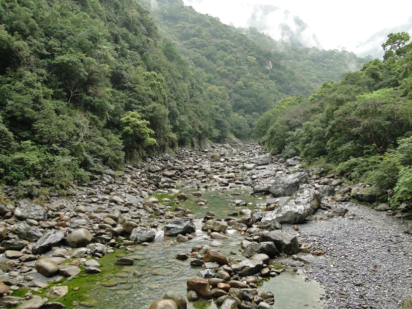
An important part of studying the mechanics of mountain building is to understand rates of rock uplift as a function of both space and time. Scientists have used the longitudinal profiles of rivers and how they respond to rock uplift and erosion to infer the tectonic history of the landscape and thus some of the uplift history of mountain ranges. However, there are other factors besides uplift that influence how the slope of a river changes, such as sudden tectonic activity or the type of rock over which the river flows.
Fox et al. present a new approach to investigate rock uplift rates using the longitudinal profiles of rivers in Taiwan. The authors combine an established mathematical model of fluvial erosion with the concept of linear inversion, enabling the unknown rock uplift rate parameters to be inferred from river profiles derived from digital elevation data. The framework of linear inversion enables the large amount of data describing the full Taiwanese river network to be analyzed simultaneously. Calibration of the results requires tweaking the rate at which the landscape responds to changes in rock uplift rate so that model-predicted erosion rates match measured erosion rates.
The authors found that rock uplift rates mostly exceed erosion rates and that there has been an increase in rock uplift rates since approximately 0.5 million years ago across the island’s central mountain range. The linear inverse method will allow future researchers to separate rock uplift rate information from the “noise” when investigating mountain evolution using river channels. (Journal of Geophysical Research: Earth Surface, doi:10.1002/2014JF003196, 2014)
—JoAnna Wendel, Staff Writer
Citation: Wendel, J. (2014), Using rivers to investigate rock uplift in Taiwan, Eos Trans. AGU, 95(51), 492, doi:10.1002/2014EO510008.
© 2014. American Geophysical Union. All rights reserved.
© 2014. American Geophysical Union. All rights reserved.

