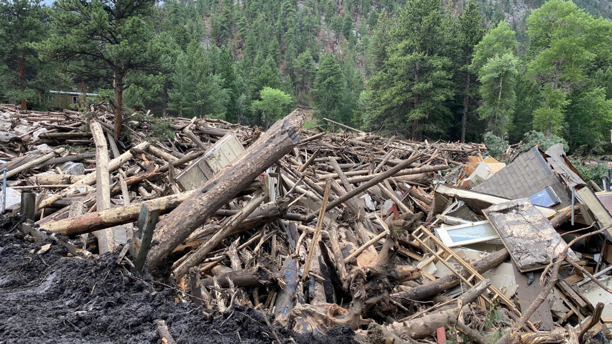
USGS hazard maps don’t always reflect real landslide risk in the years after wildfires. Fine-tuning assessments of vegetation recovery could help.
USGS
Posted inResearch Spotlights
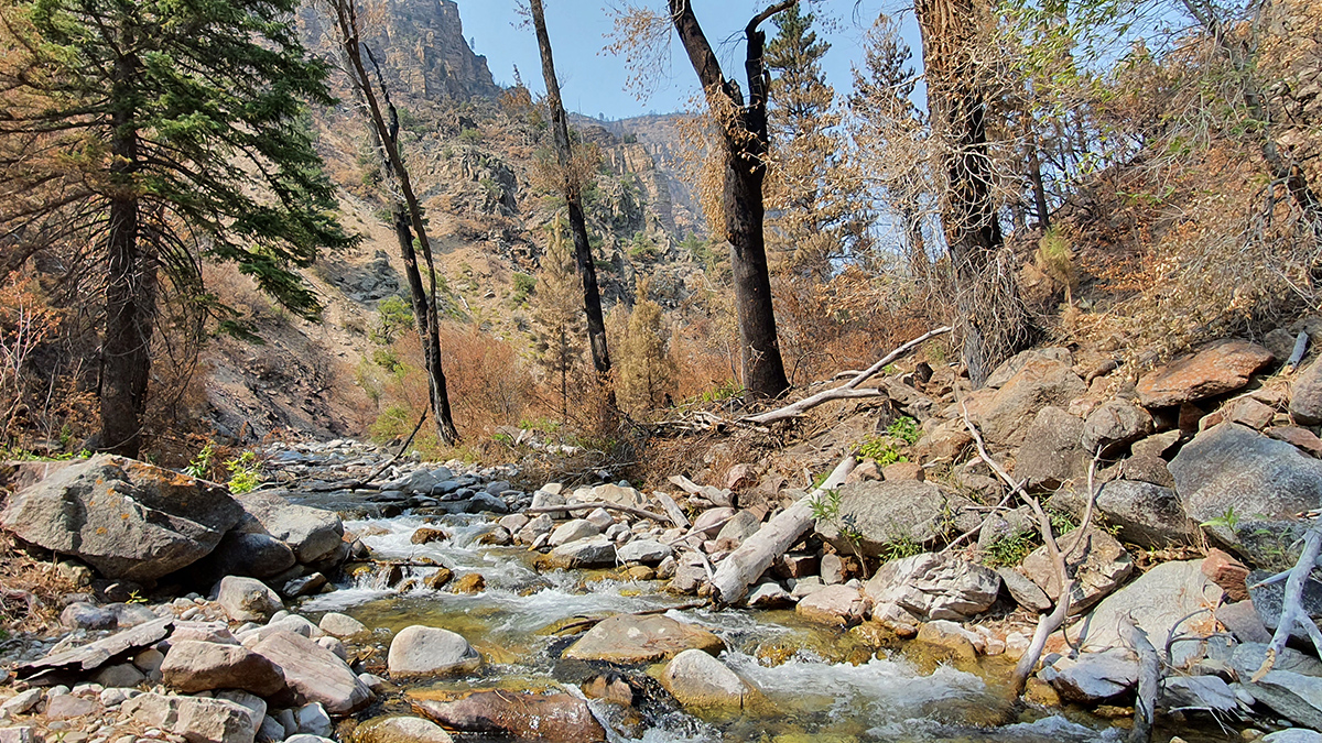
How Wildfires Worsen Flood Risk
A new approach to analyzing watersheds shows how storms occurring after a wildfire can have higher flooding risk than similar storms that occurred before a fire.
Posted inResearch & Developments
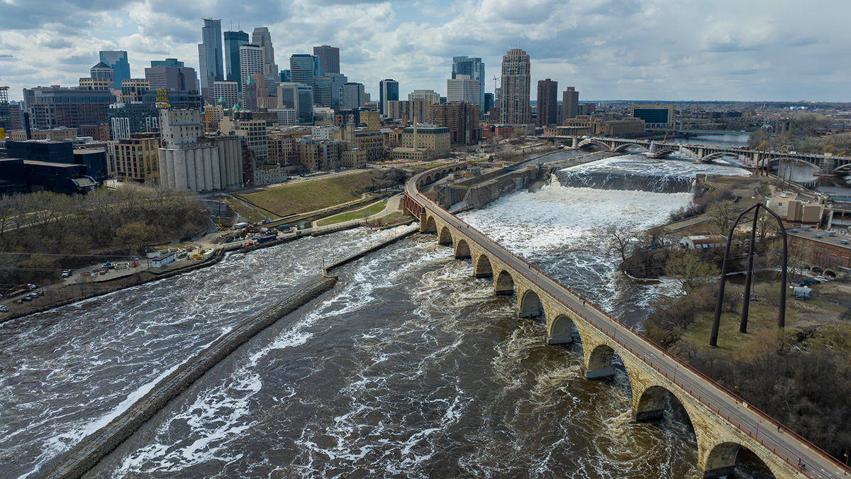
New USGS Tool Fills in the Gaps on U.S. Water Supply
The National Water Availability Assessment Data Companion is the first tool that integrates information about water availability in individual watersheds at a national scale.

Posted inNews
On the Seattle Fault, the Biggest Quakes Aren’t the Most Likely
Smaller quakes from secondary faults—which are not included in national seismic hazard modeling—occur more frequently than previously thought.

Posted inReport
The State of the Science 1 Year On: The Federal Workforce
Thousands have left the federal workforce, and those who remain face significant uncertainty about their professional futures.
Posted inFeatures
The Looming Data Loss That Threatens Public Safety and Prosperity
Cuts to funding and staff needed to maintain trusted datasets of reference Earth system observations could limit their availability and quality, undermining hazard predictions and risk assessments.

Posted inResearch & Developments
Judge Stops Shutdown-Related RIFs Indefinitely
A judge has announced she would rule that the government cannot issue further reduction-in-force (RIF) notices to federal employees because of the government shutdown, nor implement RIFs that had already been issued during the shutdown.

Posted inFeatures
New Maps of Natural Radioactivity Reveal Critical Minerals and More
High-resolution airborne radiometric surveys are covering more ground than ever to provide insights into unseen geology, mineral resource potential, and possible health hazards.

Posted inResearch & Developments
Science Agencies Shuttered in Government Shutdown
At 12:01 a.m. this morning, the U.S. federal government shut down. This shutdown comes after weeks of negotiations and pressure tactics failed to bring Congressional Republicans and Democrats together on a budget for the 2026 fiscal year or a continuing resolution to fund the government for a few more weeks.
Posted inNews
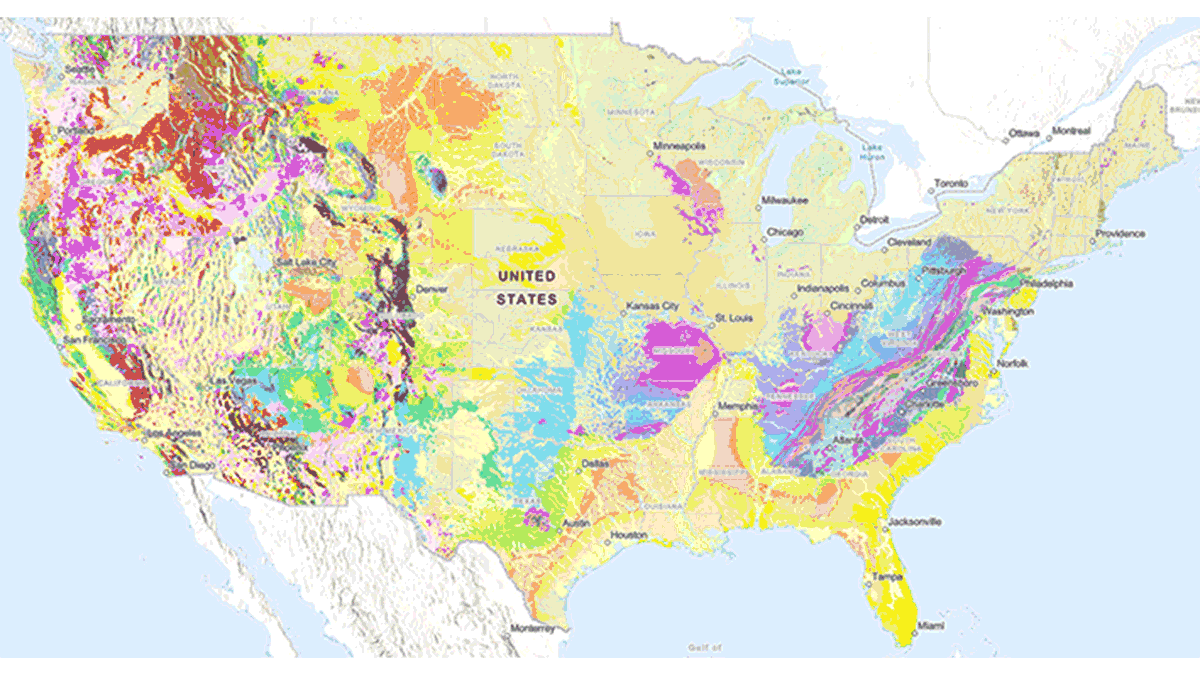
New USGS Map Offers an Interactive Look at the Rocks Beneath Our Feet
The Cooperative National Geologic Map is an interactive tool that builds on both cutting-edge technology and decades of mapping by geoscientists.