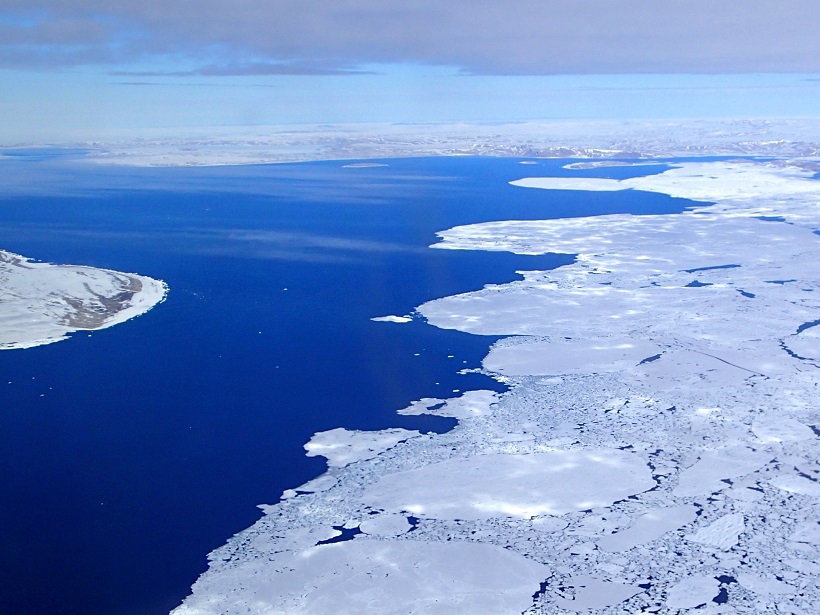
Warming and sea ice loss in the Arctic are affecting the complex interactions between the atmosphere, ocean, land, and ice-covered areas, including the formation and transport of aerosol.
Arctic
Posted inNews
Countries Urge Increased International Research in the Arctic
A joint statement from countries with interests in the Arctic emphasizes the need for scientific collaboration in this rapidly changing region but sidesteps attributing climate change to human activities.
Posted inEditors' Highlights
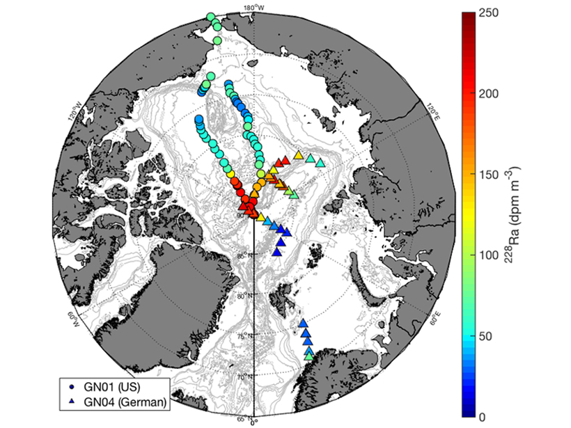
Increased Release Rates of Radium Isotopes on Arctic Shelves
A longer ice-free season on Arctic shelves causes an increase in sediment-water interaction.

Posted inResearch Spotlights
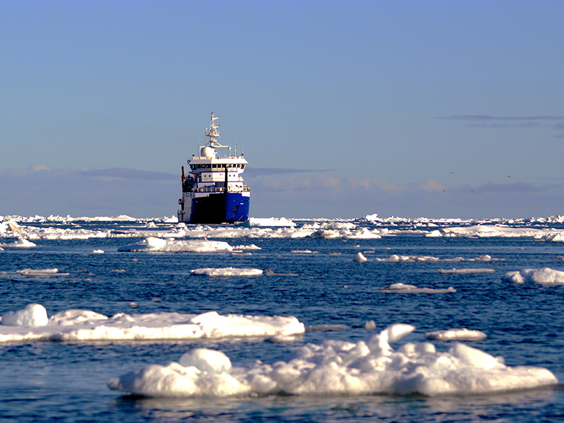
Brown Carbon from Increased Shipping Could Harm Arctic Ice
Emission from a ship’s engine gives clues to how much light-absorbing molecules may build up on and above snow and sea ice. Such emissions are likely to increase as more ships venture into the Arctic.
Posted inNews
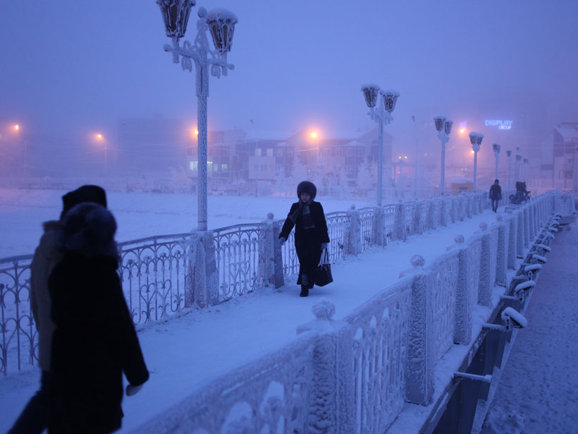
Why Are Siberian Temperatures Plummeting While the Arctic Warms?
The answer involves the intricacies of stratospheric circulation, which, if better represented in climate models, could help predict extreme weather events in Siberia and elsewhere.

Posted inEditors' Vox
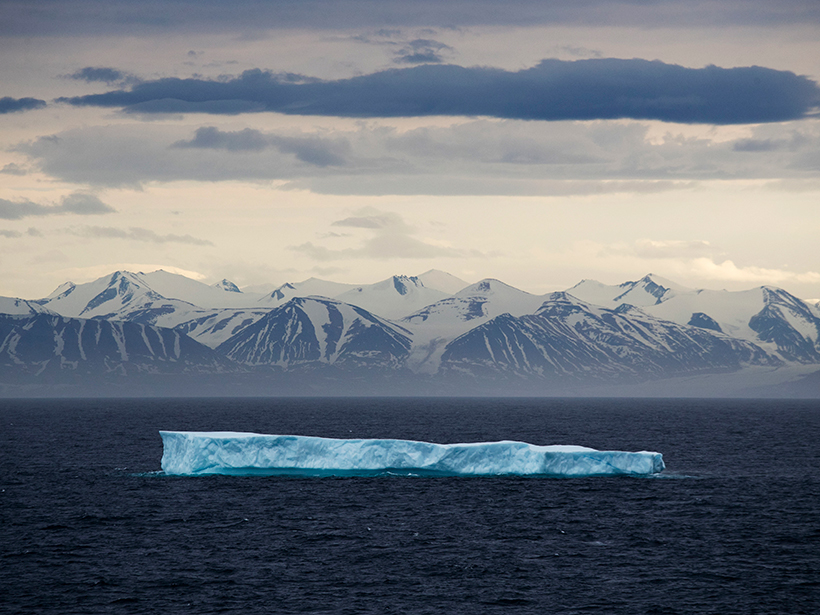
Exploring a More Dynamic Arctic Icescape
A joint special issue presents new findings from a field campaign in the Arctic Ocean which highlights key processes that need to be taken into account to predict the future of the Arctic ice pack.
Posted inNews
New Paths for Plankton in Warming Arctic?
Water flowing from the Pacific to the Atlantic could find new shortcuts, enabling plankton to survive the trip through the cold polar region.
Posted inNews
New Arctic Science Cooperation Agreement Comes into Force
The agreement focuses on facilitating access to research areas, research infrastructure and facilities, and data.
Posted inResearch Spotlights
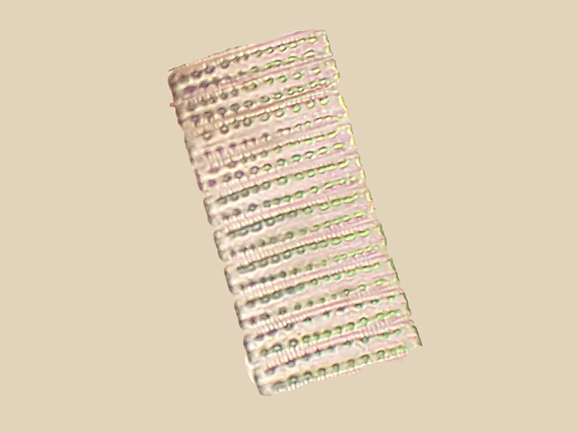
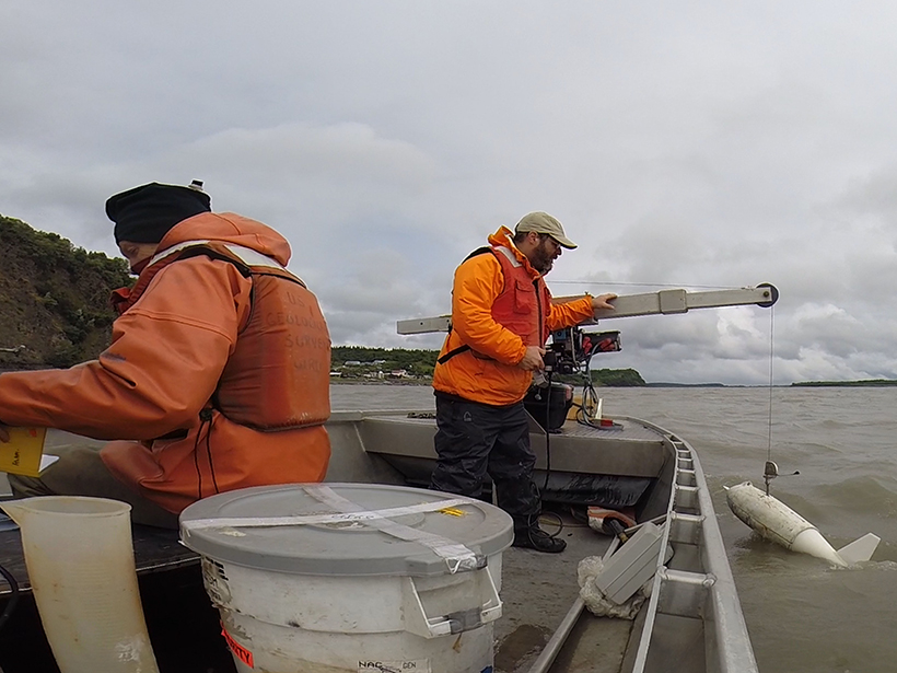
Using Microbes to Predict the Flow of Arctic Rivers
Bacterial DNA provides a good estimate of river discharge.
Posted inEditors' Highlights
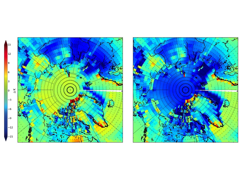
Spectral Surface Emissivity Improves Arctic Climate Simulation
Improving the representation of surface emissivity in the Community Earth System Model reduces its Arctic winter cold bias from 7 to 1 Kelvin degree.