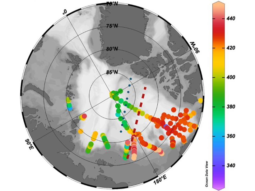
A semi-conservative tracer combining nitrate and dissolved oxygen is more accurate than traditional tracers in distinguishing between Atlantic and Pacific water mass contributions to the Arctic.
Arctic

Posted inEditors' Vox
Atmospheric Gravity Wave Science in the Polar Regions
A joint special issue explores the potential of collaboration to help understand atmospheric gravity waves in the Polar Regions and their effect on global circulation.
Posted inEditors' Vox
In a Spin: New Insights into the Beaufort Gyre
A new special collection in JGR: Oceans presents results from studies of the Beaufort Gyre, an oceanic circulation system in the Arctic that has far-reaching influence on the global climate.

Posted inNews
Largest Delta Plain in Earth’s History Discovered in Arctic
If this Triassic period delta existed today, its footprint would equal about 1% of all land on Earth.
Posted inNews
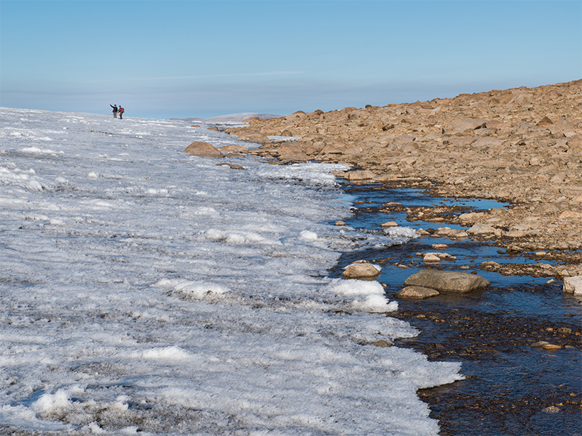
Modern Warming Is Undoing Millennia of Arctic Ice Cover
Plants and rocks at the edges of glaciers have been entombed in ice for more than 40,000 years. Modern warming, unmatched in 115,000 years, is now uncovering these landscapes.
Posted inNews
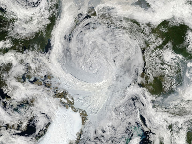
How Arctic Cyclones Change the Sea Ice
Whirlwinds disrupt the sea ice in the Arctic Ocean. Scientists are now beginning to understand how.

Posted inNews
Sen. Murkowski Warns About the Impact of Climate Change
The senator from Alaska says the impact of climate change in her state “is real, it is happening, it is now, and almost none of these changes are for the better for us.”

Posted inNews
Arctic Undergoing Most Unprecedented Transition in Human History
The Arctic Report Card, released by the National Oceanic and Atmospheric Administration, outlines vast changes taking place in the Arctic region. Here are some major findings.

Posted inNews
Groups Gear Up to Fight Oil and Gas Development in Arctic Refuge
With Democrats controlling the House of Representatives beginning in January, advocates see an opportunity to try to protect the Arctic National Wildlife Refuge from oil and gas development.

Posted inEditors' Vox
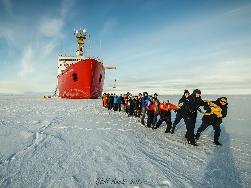
Autumn in the Arctic
With refreezing in the western Arctic Ocean shifting later into the autumn, field research on changing air-ocean-ice interactions suggests that the Arctic is shifting to a more seasonal system.