
A suite of simulations run with a spectrum of starting conditions shows that climate change will reduce corn crop yield, although the degree of reductions varies widely.
Climate Change
Posted inResearch Spotlights
Air-Sea Interactions Influence Major Southern Wind Belt
Ocean and atmospheric data provide evidence for how sea surface temperatures affect the Southern Annular Mode.
Posted inEditors' Vox
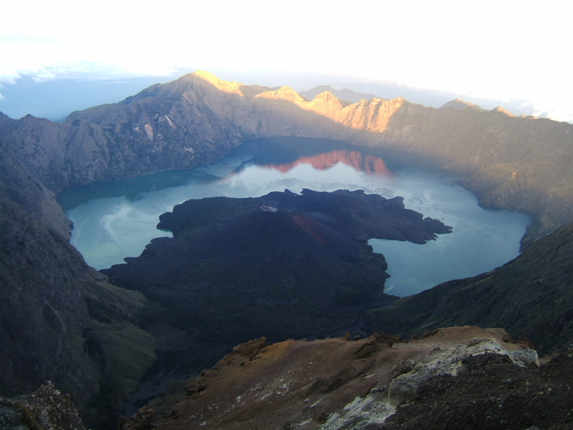
Volcanic Java and Climate Change
An account of a geophysicist's recent trip to Indonesia wouldn't be complete without intrigue and elucidations about what Java, climate change, and Butch Cassidy all have in common.
Posted inEditors' Vox
Here Comes the Anthropocene
Two recent papers in Earth's Future discuss the addition of a new epoch to the geological timescale.

Posted inEditors' Vox
Exploring Formal Recognition of the Anthropocene
Colin Waters of the Anthropocene Working Group, which has been exploring formal recognition of the Anthropocene as a unit in the geological time scale, discussed the group's recommendations at the IGC.
Posted inFeatures
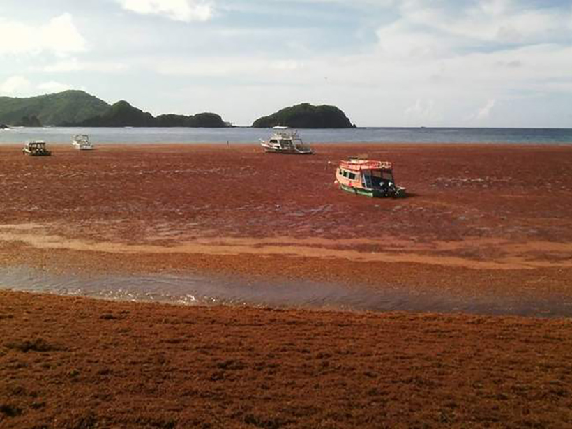
Sargassum Watch Warns of Incoming Seaweed
The Sargassum Watch System processes satellite data and feeds results to a Web portal, giving decision makers timely information on seaweed location and warnings for potential beaching events.

Posted inNews
Scientific Study Group Favors Recognizing Human-Influenced Epoch
A formal proposal could take 3–4 years to prepare and then would require evaluation and approval by other scientists.

Posted inResearch Spotlights
The Role of Seafloor Methane in Ancient Global Warming
New research suggests that release of methane from seafloor hydrates was much slower than hypothesized during a period of rapid global warming about 56 million years ago.

Posted inResearch Spotlights
Incorporating 3-D Cloud Effects into Weather and Climate Models
Researchers explain how a new radiative scheme can be incorporated into global weather and climate models to better capture the effect of clouds on climate.
Posted inOpinions
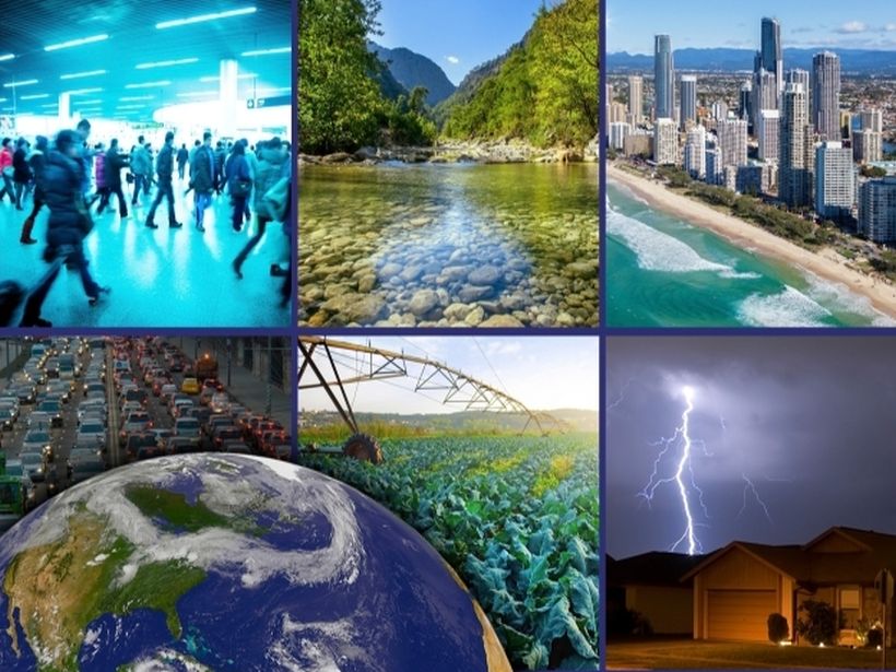
Collaboration to Enhance Coastal Resilience
Integrating models from the social and natural sciences could generate a more holistic approach to climate change response planning in coastal communities.