
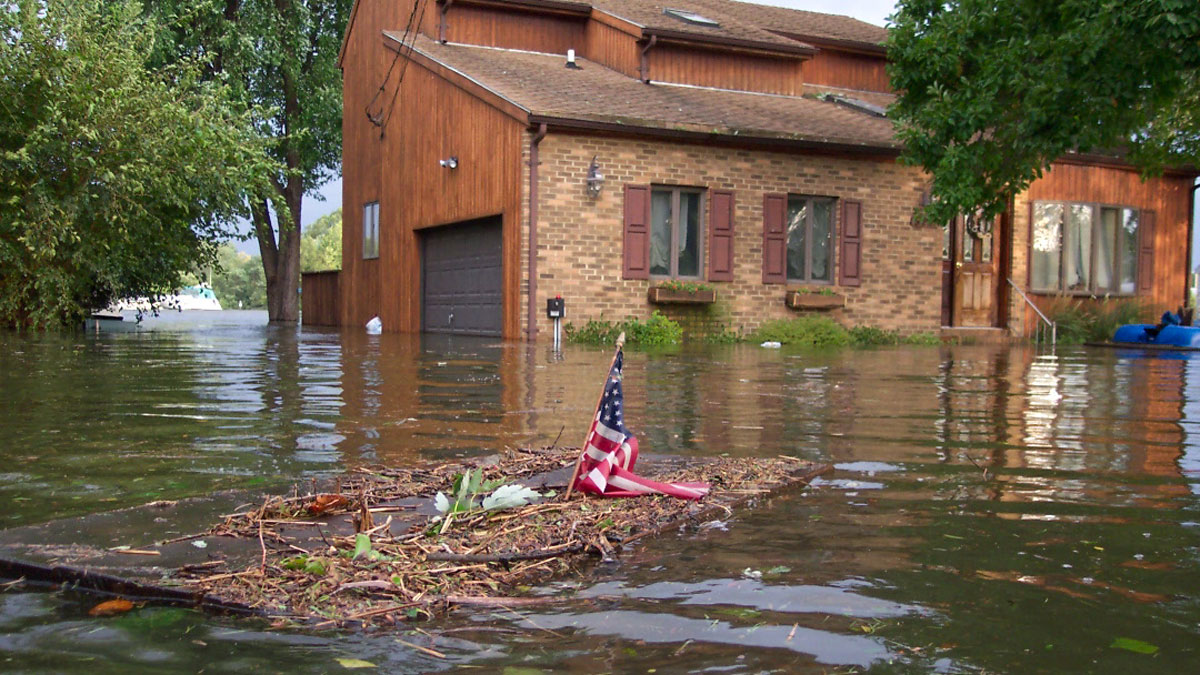
Breaches in glacial lake dams threaten millions around the world, and scientists are investigating how climate change might affect that risk.
disaster preparedness

Posted inNews
Extreme Wildfires Make Their Own Weather
Extreme fires in the western United States and Southeast Asia influenced the local weather in ways that make fires and smoke pollution worse.

Posted inNews
Accounting for Offbeat Earthquakes Could Improve Forecasts
A new model considers the full history of earthquakes on a fault, improving forecasts of when the next will strike.

Posted inResearch Spotlights
Scientists Decipher the Seismic Dance of the Southern Alps
Most of the Alps are considered tectonically dead, but according to new research, the southeastern region—home to prosecco wine—is very much alive.
Posted inScience Updates
Engineering with Nature to Face Down Hurricane Hazards
Natural and engineered, nature-based structures offer promise for storm-related disaster risk reduction and flood mitigation, as long as researchers can adequately monitor and study them.

Posted inNews
Social Media Posts Reveal Human Responses to Deadly Tongan Eruption
Quantifying human responses to natural disasters could improve preparation for future threats, scientists say.

Posted inNews
Geohazard Education Trainings Foster Resilience in Rural Alaska
National Science Foundation-funded teacher and community workshops boost disaster preparedness optimism among coastal Alaskan educators, whose communities face an array of natural hazards.

Posted inNews
Protecting Poor Neighborhoods from Landslide Risk
As low-income, informal settlements bloom in the tropics, their risk of landslides increases. A new modeling tool incorporates urbanization factors to protect the region’s poorest neighborhoods.

Posted inResearch Spotlights
Enhancing Earthquake Detection from Orbit
A new application of machine learning boosts scientists’ ability to use data from satellite navigation systems to detect and warn of earthquakes.
Posted inNews
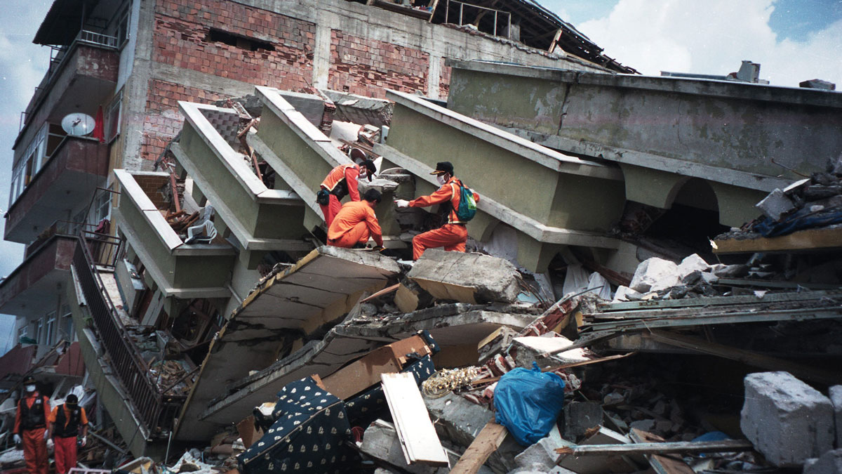
¿Tienen los terremotos y las placas tectónicas una relación bidireccional?
Un terremoto catastrófico en Turquía que sucedió en 1999 cambió el movimiento de la placa de Anatolia, según un estudio que podría modificar los fundamentos de modelamiento de los terremotos.