
Natural and human factors are leading to larger, more frequent, and longer-lasting algae blooms. Recent research is increasingly revealing the scope of the problem and informing potential responses.
disaster preparedness
Posted inENGAGE, News
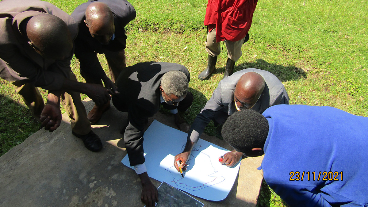
Community Science Project Helps Track Geohazard Risks in Uganda
A community project in the Kigezi Highlands is helping to identify landslide and flooding hot spots and how the hazards are evolving.
Posted inNews
Monitoreando terremotos a la velocidad de la luz
Nueva investigación utiliza la gravedad y un modelo de aprendizaje automático para estimar instantáneamente la magnitud y ubicación de grandes terremotos.
Posted inFeatures
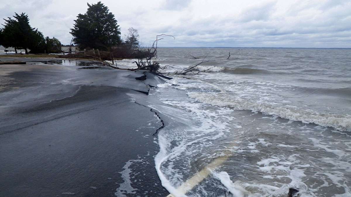
Sea Level Science and Applications Support Coastal Resilience
Known for precise, planetary-scale measurements, NASA is improving its decades-long effort to observe and understand sea levels to help communities prepare for the effects of Earth’s rising ocean.
Posted inNews
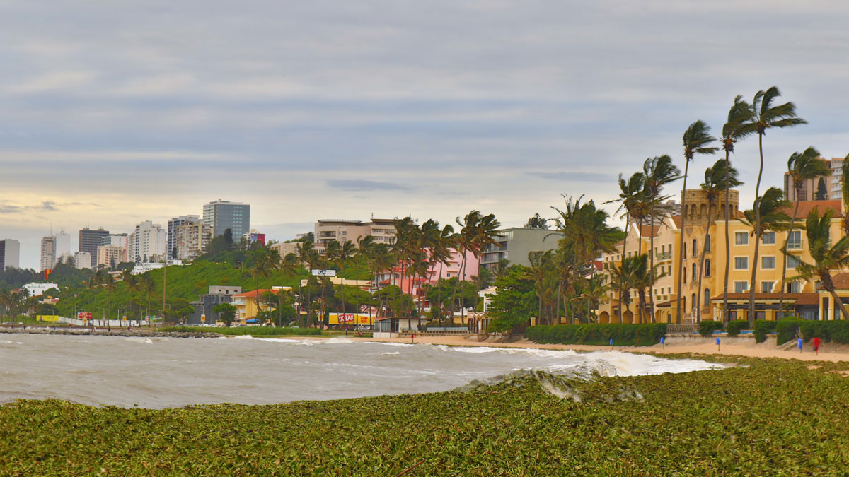
Severe Storms Expose Ill-Equipped Weather Stations in Southeast Africa
The lack of infrastructure is preventing scientists from robustly reporting meteorological information as well as communicating warnings about hazard-prone areas.

Posted inNews
A Community-Led Landslide Prediction System in India
In a first-of-its-kind disaster prevention initiative, a meteorology-based landslide prediction system was developed as a crowdsourced science effort.

Posted inNews
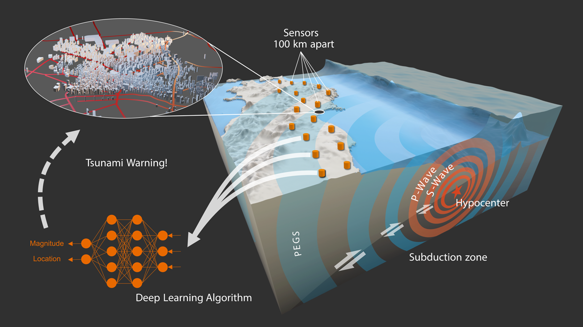
Monitoring Earthquakes at the Speed of Light
New research uses gravity and a machine learning model to instantaneously estimate the magnitude and location of large earthquakes.

Posted inNews
Rock Music in Utah
Three-dimensional models could help forecast rock tower frequencies—and seismic impacts—around the globe.
Posted inNews
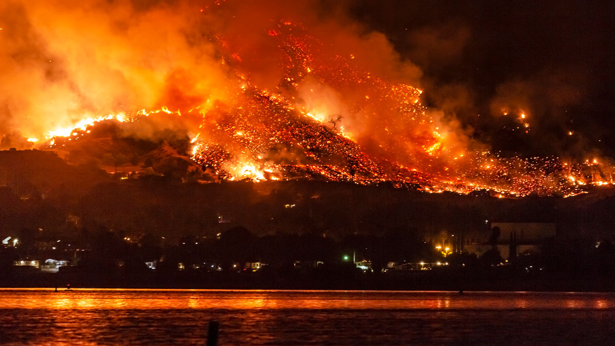
Los incendios forestales empeorarán, advierte informe de la ONU
Desde el ecuador hasta el Ártico, es probable que aumenten los incendios forestales y que el cambio climático los empeore, según un nuevo informe de las Naciones Unidas. La acción todavía es posible, dicen los autores.
Posted inFeatures
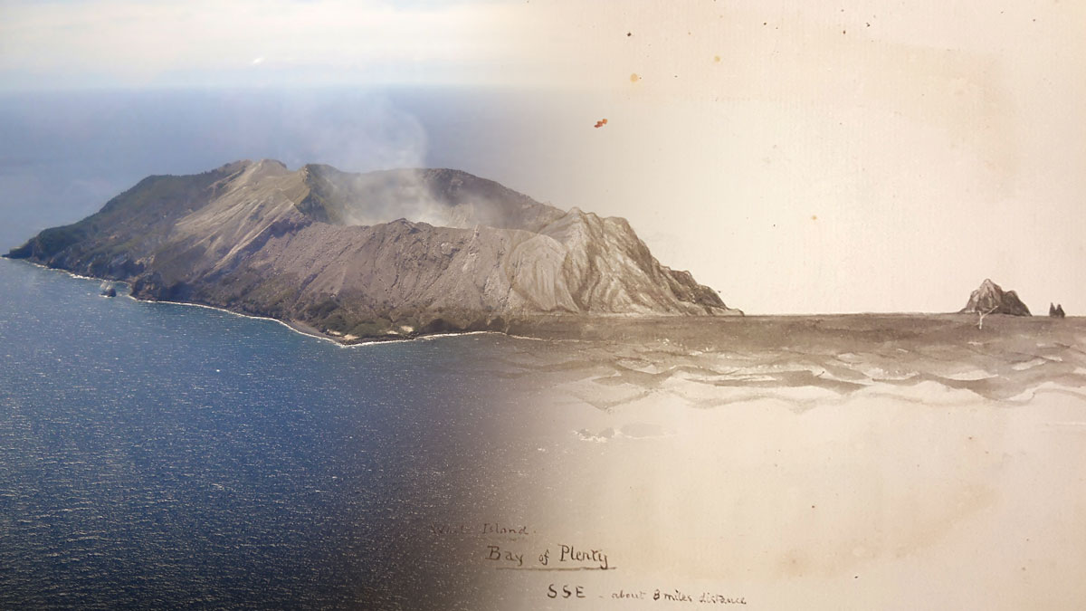
Studying Volcanoes through Myths, Legends, & Other Unconventional Data
Studying historic eruptions through a storytelling lens often improves our understanding of and ability to prepare for such events.