Disentangling magnetic signals in its ancient rocks gives an updated view of the paleocontinent’s position during the Ediacaran period.
Earth science
Posted inEditors' Highlights
Drone Imagery Reveals Marked Variability in Antarctic Snow Roughness
Multi-temporal UAV oblique photogrammetry reveals significant fine-scale variability in Antarctic snow roughness driven by surface type, measurement scale, model choice, and meteorological conditions.

Posted inAGU News
The Persistence of PFAS
Researchers around the world are seeking to search and destroy pervasive “forever chemicals.”
Posted inFeatures
Chemical Companies Are Churning Out New PFAS. Where in the World Are They Ending Up?
Bans on older versions of “forever chemicals” seem to be working. But emerging variants behave in ways that scientists are only beginning to pin down.
Posted inResearch Spotlights
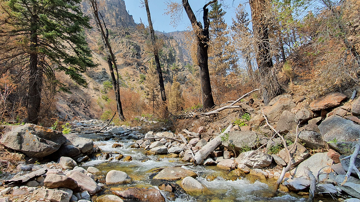
How Wildfires Worsen Flood Risk
A new approach to analyzing watersheds shows how storms occurring after a wildfire can have higher flooding risk than similar storms that occurred before a fire.

Posted inResearch & Developments
New USGS Tool Fills in the Gaps on U.S. Water Supply
The National Water Availability Assessment Data Companion is the first tool that integrates information about water availability in individual watersheds at a national scale.
Posted inEditors' Vox
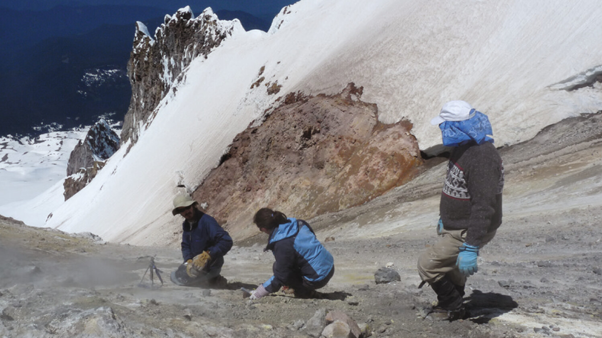
Hydrothermal Heat Flow as a Window into Subsurface Arc Magmas
What can warm fluids in arc crust tell us about how much magma is lurking underground? Hydrothermal heat fluxes provide constraints on the supply of magma from the mantle in subduction zones.
Posted inNews
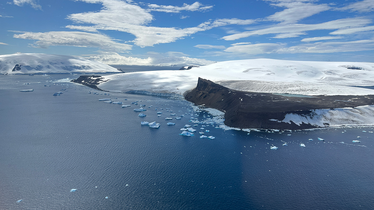
Widening Channels and Westerly Winds Together Formed Earth’s Strongest Current
The Antarctic Circumpolar Current could only develop once wind patterns aligned with new ocean passages 34 million years ago, a new study suggests.
Posted inNews
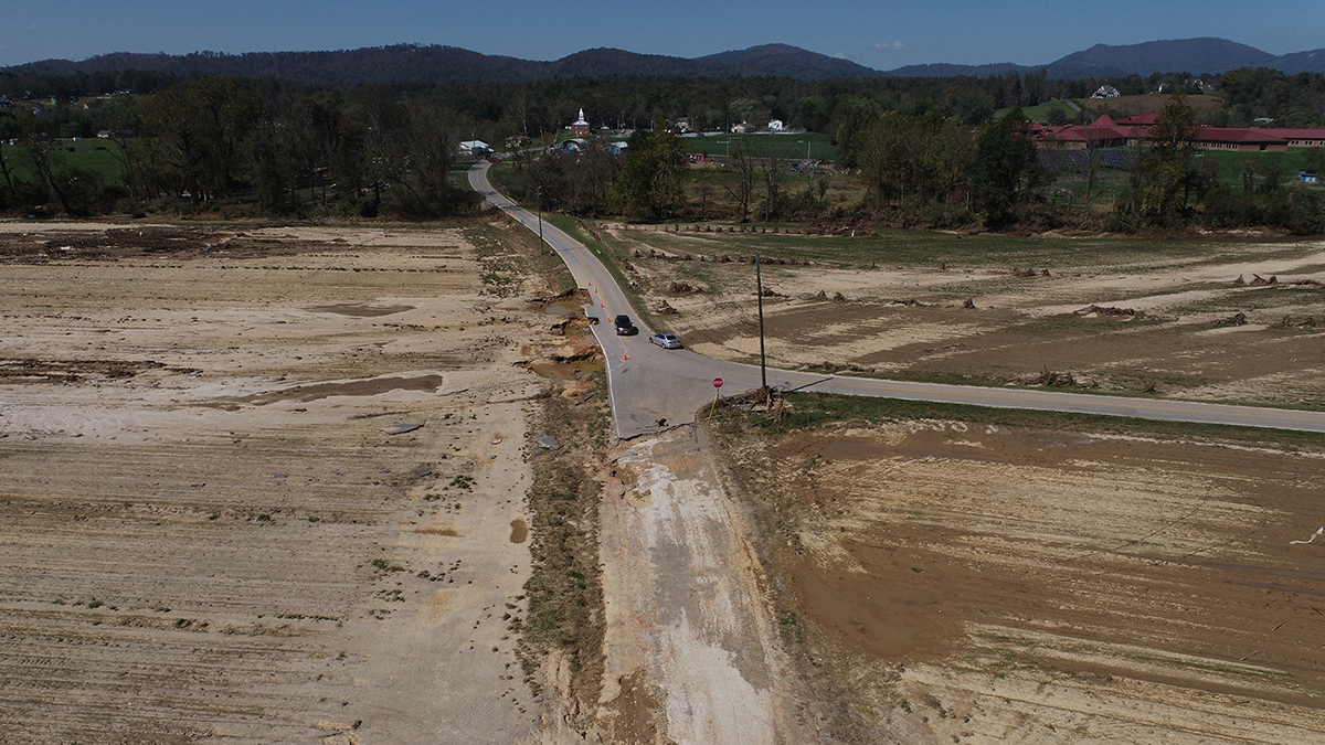
Hurricane Helene Ravaged Farmers’ Topsoil. They’re Still Fighting to Build It Back.
“We’re dirt farmers. Our primary job is to tend the dirt. That’s the basis of everything.”
Posted inNews
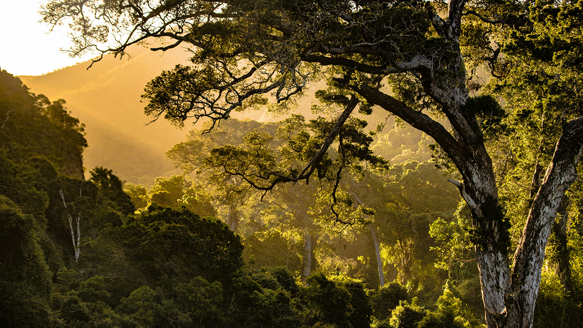
Location, Location, Location: The “Where” of Reforestation May Matter More Than the Extent
A new study finds that focusing reforestation efforts in strategic locations, such as the tropics, can accomplish global cooling levels comparable to less strategic reforestation efforts covering twice as much area.