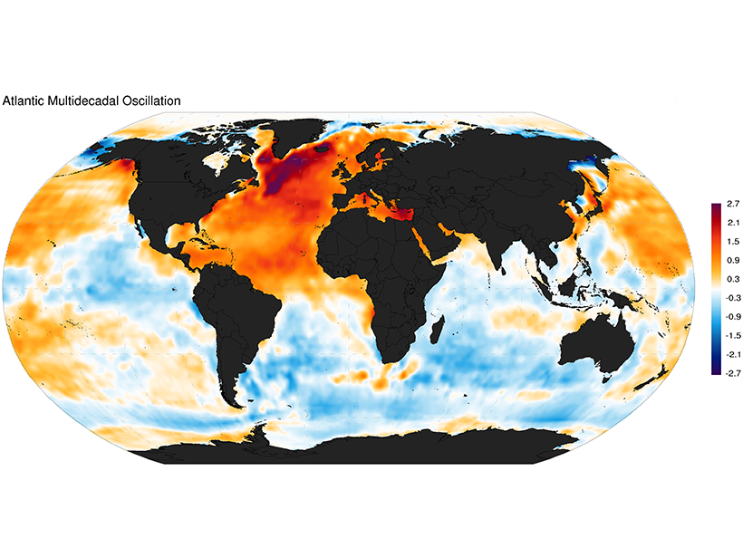
A new analysis of sea surface temperature and salinity over several decades seeks to settle the debate on which of two mechanisms underlies the Atlantic Multidecadal Oscillation.
Geophysical Research Letters
Posted inResearch Spotlights
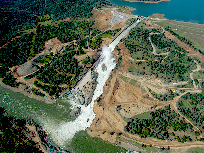
California Floods Linked to Atmospheric Water Vapor “Rivers”
Narrow atmospheric streams of water vapor that deliver heavy rains are more commonly associated with floods and debris flows in northern California than with flash floods in southern California.
Posted inResearch Spotlights
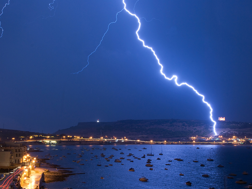
Lightning Strikes May Leave Traces Like Those of Meteorites
Scientists have long interpreted shocked quartz as definitive evidence of a past meteorite impact, but the shock wave caused by lightning striking granite also produces this distinctive feature.

Posted inResearch Spotlights
Juno Gets Spectacular View of Jupiter’s Aurora
The NASA spacecraft has taken images of Jupiter’s powerful aurora dancing around its poles, revealing never-before-seen details in their structure.
Posted inResearch Spotlights
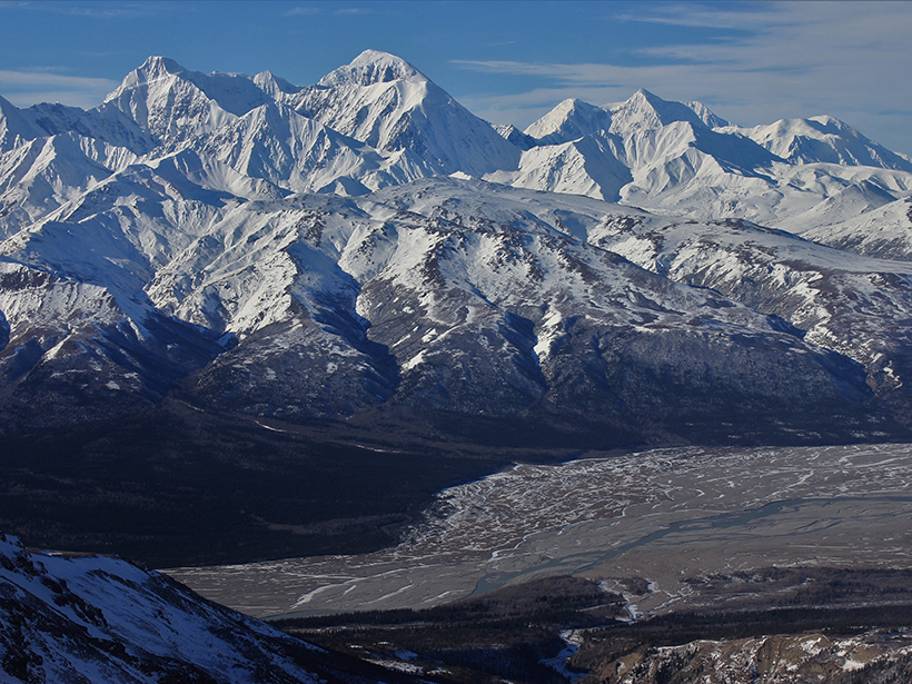
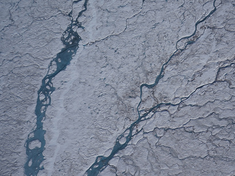
Why Are Arctic Rivers Rising in Winter?
Increased glacial melt is boosting winter streamflows by filling aquifers, a new study on an Alaskan river suggests.

Posted inResearch Spotlights
When Ice and Lightning Align
A new technique can remotely sense strong electrical fields within storm clouds.
Posted inResearch Spotlights
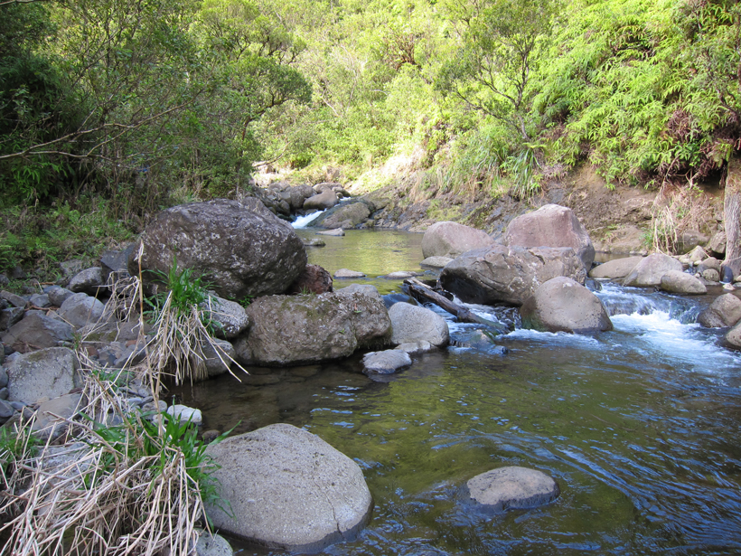
What Controls the Shape of Steep Mountain Streams?
The shape of steep river streams changes systematically with channel slope, but field data and theoretical analysis reveal that slope is not the sole factor in setting a channel’s form.
Posted inResearch Spotlights
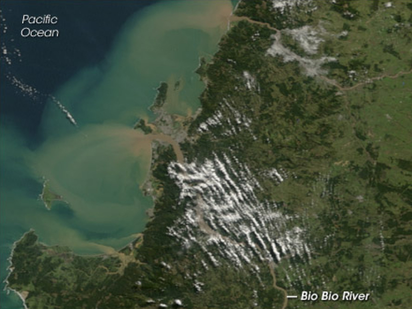
Tracing Land to Ocean River Transport with Cosmogenic Isotopes
Beryllium stored in marine sediments can help scientists study erosion and other environmental changes.
Posted inResearch Spotlights
On-the-Ground Measurements Overestimate Earth’s Albedo
Weather stations can be used to calibrate and validate albedo measurements from satellites, but they fail to account for variability across landscapes, overestimating how reflective our planet is.
Posted inResearch Spotlights
Observing Mercury’s Brilliant Flares from Earth
Researchers make the first short-term observation of sodium flares in Mercury’s exosphere.