
The Landslide Blog is written by Dave Petley, who is widely recognized as a world leader in the study and management of landslides. On 26 to 28 September 2024, Nepal was struck by exceptional late monsoon rainfall, inducing landslides and flooding across a wide swathe of the country. The rescue operation is still ongoing, but […]
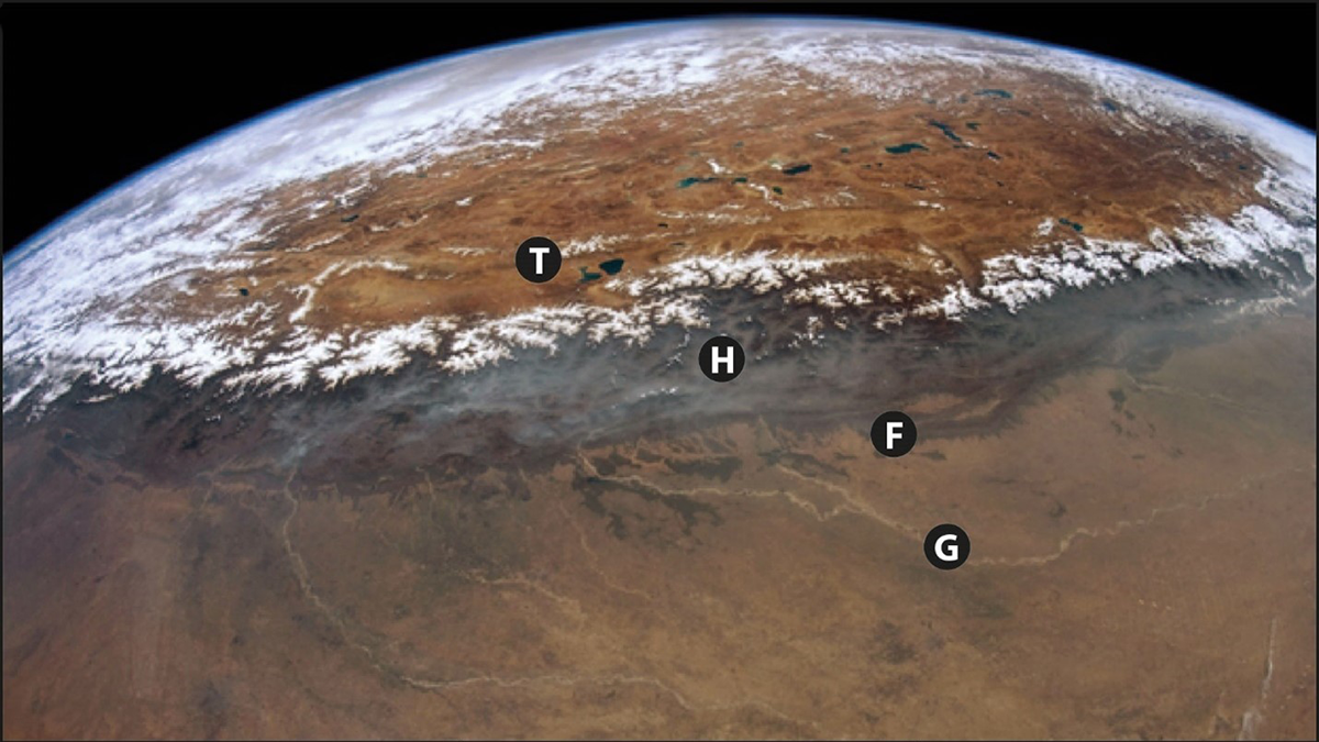
Himalayas
Posted inNews
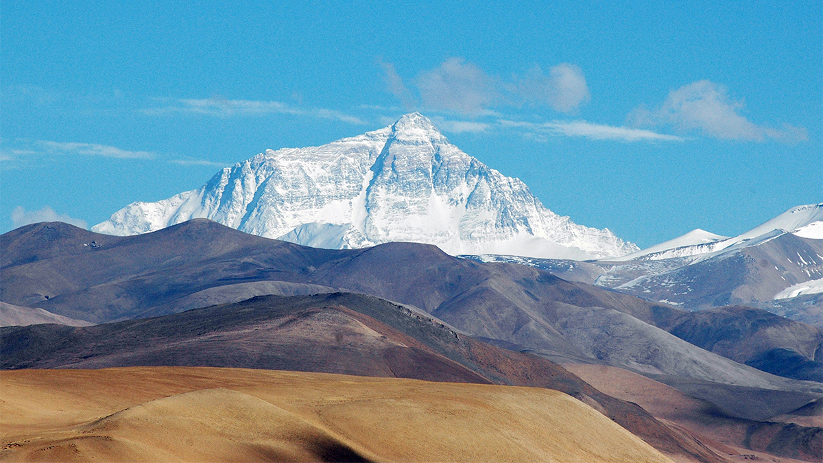
A Pirate River May Be Giving Mount Everest a Boost
Rapid erosion can cause mountains to rise—even the world’s tallest peak.
Posted inThe Landslide Blog
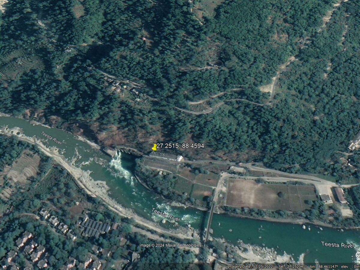
The 20 August 2024 landslide at the Teesta Stage V power house at Baluatar, Sikkim
The Landslide Blog is written by Dave Petley, who is widely recognized as a world leader in the study and management of landslides. On 20 August 2024, a landslide occurred on the banks of the Teesta River near to Baluatar in Sikkim, northern India. This large failure was widely captured on mobile phone videos that […]
Posted inThe Landslide Blog
Planet Labs imagery of the 30 July 2024 Wayanad landslides in Kerala, India
The Landslide Blog is written by Dave Petley, who is widely recognized as a world leader in the study and management of landslides. Recovery operations continue at the site of the 30 July 2024 Wayanad landslides in Kerala, SW India. The official loss of life is 231 people as of 17 August, with reports indicating […]
Posted inThe Landslide Blog
Fatal landslides in Nepal in 2024 to date
The Landslide Blog is written by Dave Petley, who is widely recognized as a world leader in the study and management of landslides. As loyal readers of this blog are aware, I have long had a particular interest in landslides in Nepal. This is partly because of my long term research links to that country, […]

Posted inThe Landslide Blog
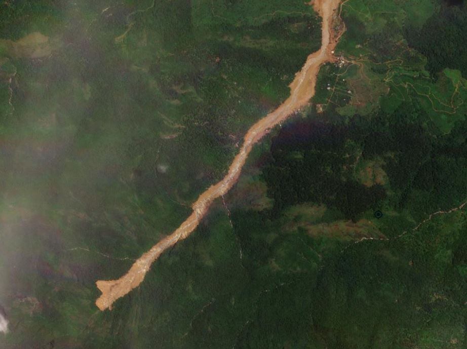
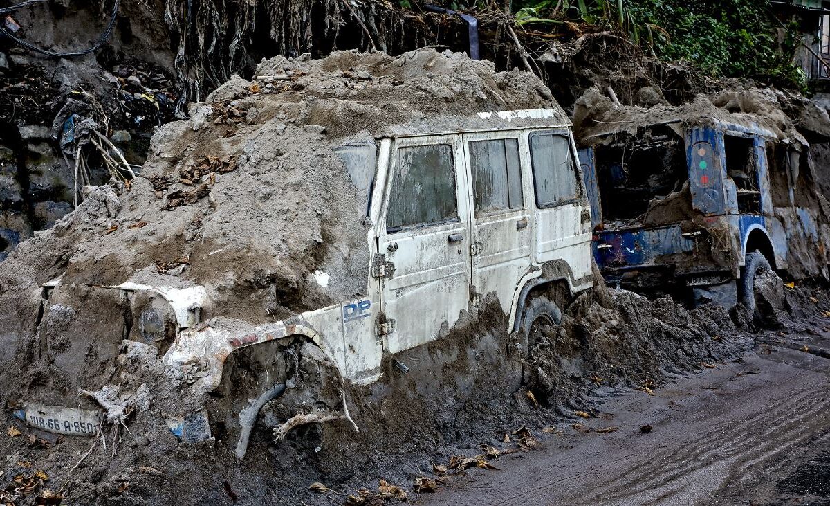
The 12 July 2024 landslide at Simaltal in Nepal
The Landslide Blog is written by Dave Petley, who is widely recognized as a world leader in the study and management of landslides. There are reports in Nepal of a major landslide disaster in the Simaltal area of Chitwan district. The reports indicate that at 3:30 am a landslide struck two buses travelling along the […]

Posted inEditors' Highlights
A Seismogenic Shear Zone Diagonal to the Main Himalayan Thrusts
Scientists document active seismic shear along a major lineament of Sikkim Himalaya diagonal to the Main Himalayan Thrusts.

Posted inFeatures
Forests, Water, and Livelihoods in the Lesser Himalaya
Complex changes in land use, land cover, climate, and demographics are combining to stress water security for millions of people in the region.
Posted inEditors' Highlights
How Good a Recycler is the Himalaya?
Researchers use sediment recycling to their advantage to calculate how fast the hills at the front of the Himalaya are eroding based on the concentration of rare elements in river sands.
Posted inThe Landslide Blog
The causes and impact of the 4 October 2023 GLOF in Sikkim, India
The Landslide Blog is written by Dave Petley, who is widely recognized as a world leader in the study and management of landslides. The ever-reliable Save the Hills blog has a fascinating post about the impact of the 4 October 2023 Glacial Lake Outburst Flood (GLOF) in Sikkim, India. The lead author on the blog, […]