
A computational model outperforms a widely used microcomputed tomography imaging method in characterizing coal fractures.
imagery

Posted inAGU News
AGU’s Developer Contest Unlocks Scientific Research
Announcing its Open API Challenge winners, the American Geophysical Union explores what open data mean for science.

Posted inEditors' Highlights
Imaging the Sun’s Atmosphere
The technique of heliospheric imaging could be valuable for future space weather operations.
Posted inNews
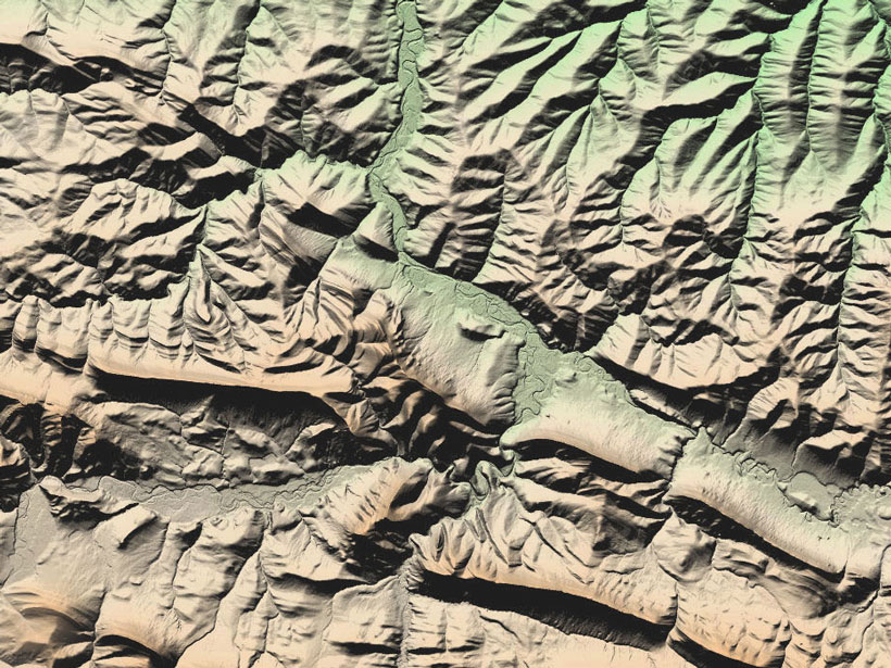
Map Provides High-Resolution Look at Nearly Entire Arctic Region
Researchers highlight the value of the time element incorporated into imagery and having a baseline for revisiting and comparing topography.

Posted inResearch Spotlights
Juno Gets Spectacular View of Jupiter’s Aurora
The NASA spacecraft has taken images of Jupiter’s powerful aurora dancing around its poles, revealing never-before-seen details in their structure.

Posted inEditors' Vox
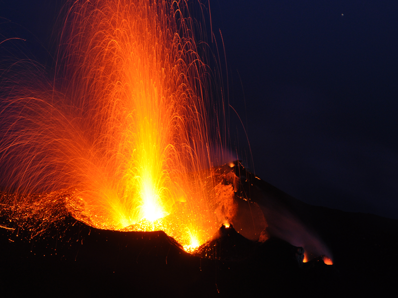
Caught on Camera: Volcanic Bombs in Flight
A recent paper in Reviews of Geophysics revealed new insights into the flight patterns of solid and molten debris flung out of volcanos during explosive eruptions.
Posted inResearch Spotlights
Tracking Volcanic Bombs in Three Dimensions
A new method allows researchers to precisely track in three dimensions bits of fragmented magma as they are expelled in explosive volcanic eruptions.

Posted inNews
New Images of Pan, Saturn's Walnut Moon, in Unprecedented Detail
The finely detailed images can help future scientists study small bodies with weak gravity.
Posted inResearch Spotlights
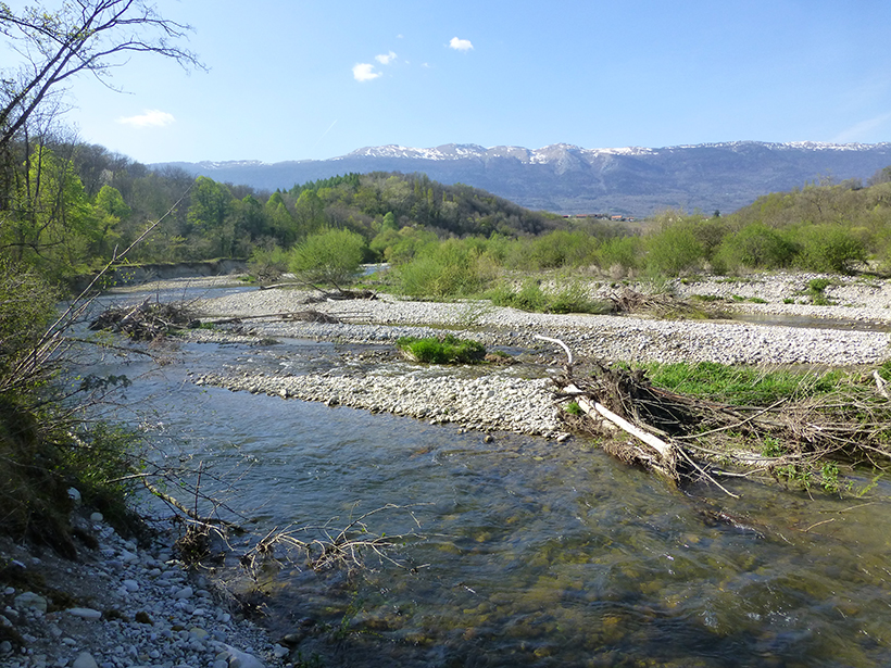
Groundwater: A Hidden Influence on River Shape
A new study shows how groundwater influences river dynamics and channel pattern.

Posted inNews
Seismic Wave Videos Combine Sight and Sound
Researchers convert seismic data into sounds and animations, providing scientists with a new way to view what happens to Earth during earthquakes.