
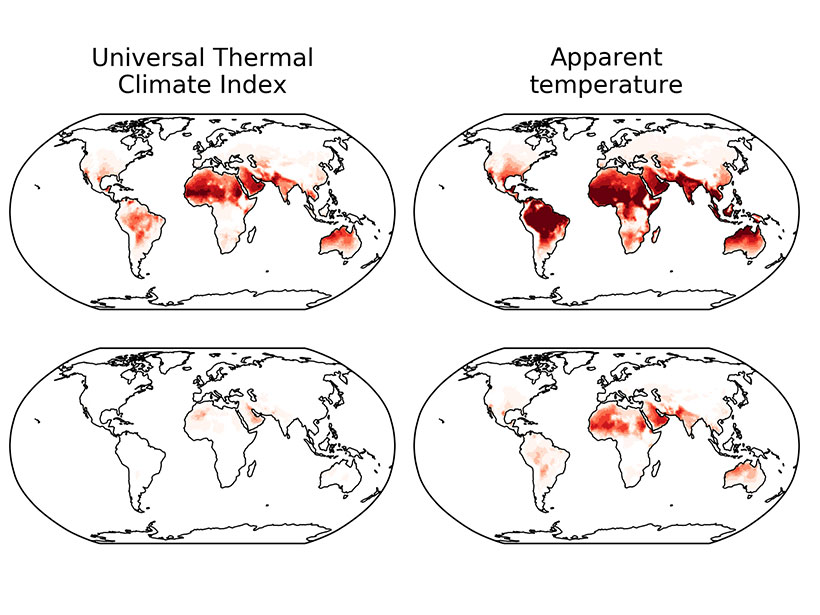
Elevation of Central American orography significantly reduces the pervasive tropical rainfall bias by blocking the easterlies and consequently warming the northeastern tropical Pacific.
Modeling

Posted inNews
Species of Feces Help Phytoplankton Feed Itself
The unicellular plants more readily take up iron in the presence of salp feces than in krill feces, an experiment in Antarctica reveals.

Posted inEditors' Highlights
Earthquake Rupture Solution is Up in the Air
Perhaps the most complex earthquake rupture ever studied is further constrained by signals from Earth’s ionosphere.

Posted inNews
Scientists Hope Atmospheric Modeling Can Predict Meteotsunamis
The first extensively documented air pressure–driven meteotsunami on one of the Great Lakes presents an opportunity to use existing weather models to predict when these potentially deadly waves will strike.
Posted inEditors' Highlights
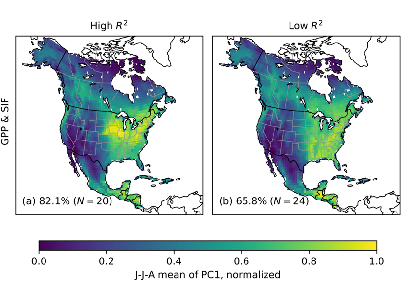
How Do Croplands Reduce CO2 During the Growing Season?
Regional variations in the seasonal drawdown of atmospheric CO2 can be used as a benchmark for evaluating models and satellite-derived estimates of land carbon uptake.
Posted inEditors' Highlights
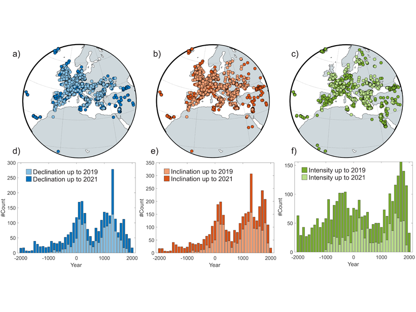
New Spherical Cap Field Model for Europe and Direct Environs
New data on ancient burnt structures is integrated into a superior spherical cap field model for Europe.
Posted inScience Updates
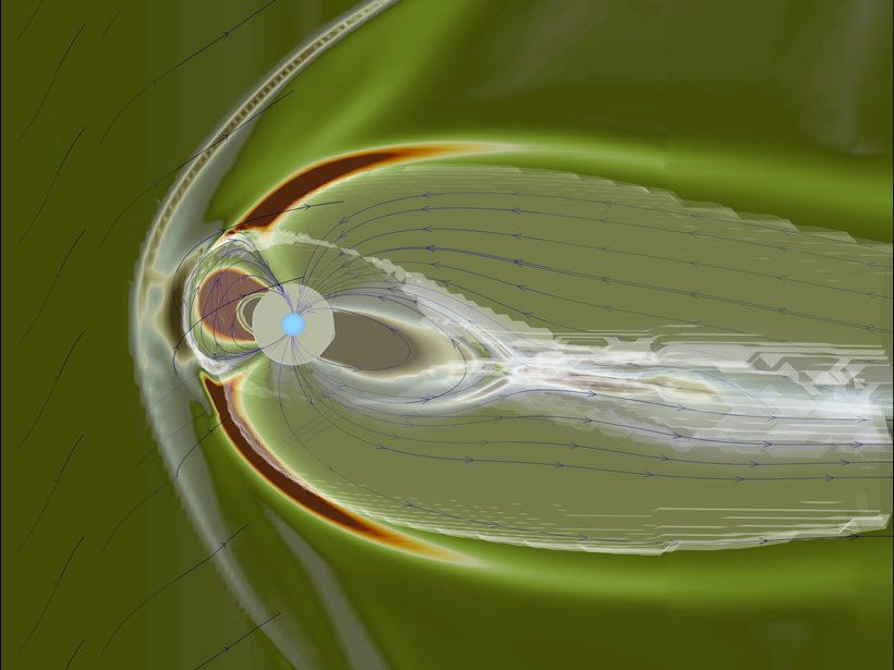
The Space Weather Modeling Framework Goes Open Access
A versatile suite of computational models, already used to forecast magnetic storms and potential power grid and telecommunications disruptions, is preparing to welcome a larger group of users.

Posted inEditors' Highlights
Saturn’s Dynamo Illuminates its Interior
Saturn’s oddly symmetrical magnetic field can be explained by models in which the active dynamo region is overlain by a thick, stable layer cooled more strongly at the poles.
Posted inEditors' Highlights
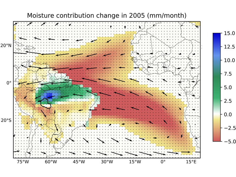
Upwind Forest Buffers Rondonia Cropland Against Regional Drought
During severe Amazonia droughts when oceanic supply of moisture failed, the magnitude of rainfall reduction over Rondonia was moderated by enhanced moisture supply from upwind forests.