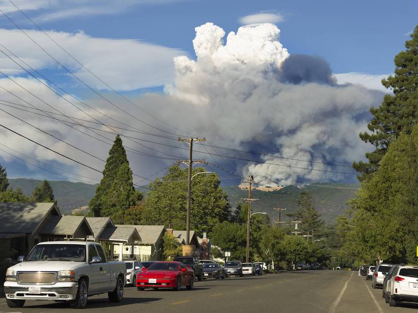
New climate projections could inform long-term wildfire and water resources management strategies in California and Nevada.
Modeling

Posted inNews
Modeling Groundwater and Crop Production in the U.S. High Plains
Innovative new research by a team of international scholars borrows modeling methods from ecology and applies them to groundwater sustainability.

Posted inResearch Spotlights
Boosting Weather Prediction with Machine Learning
WeatherBench is a data set compiled to serve as a standard for evaluating new approaches to artificial intelligence–driven weather forecasting.
Posted inFeatures
A 50-Year-Old Global Warming Forecast That Still Holds Up
In 1972, Mikhail Ivanovich Budyko used a simple methodology to make climate predictions that remain surprisingly accurate today and that could serve as a new “business-as-usual” scenario.

Posted inResearch Spotlights
Moon May Hold Billions of Tons of Subterranean Ice at Its Poles
By modeling over 4 billion years of the Moon’s impact history, scientists estimate that the lunar poles may harbor billions of metric tons of subsurface ice.
Posted inResearch Spotlights
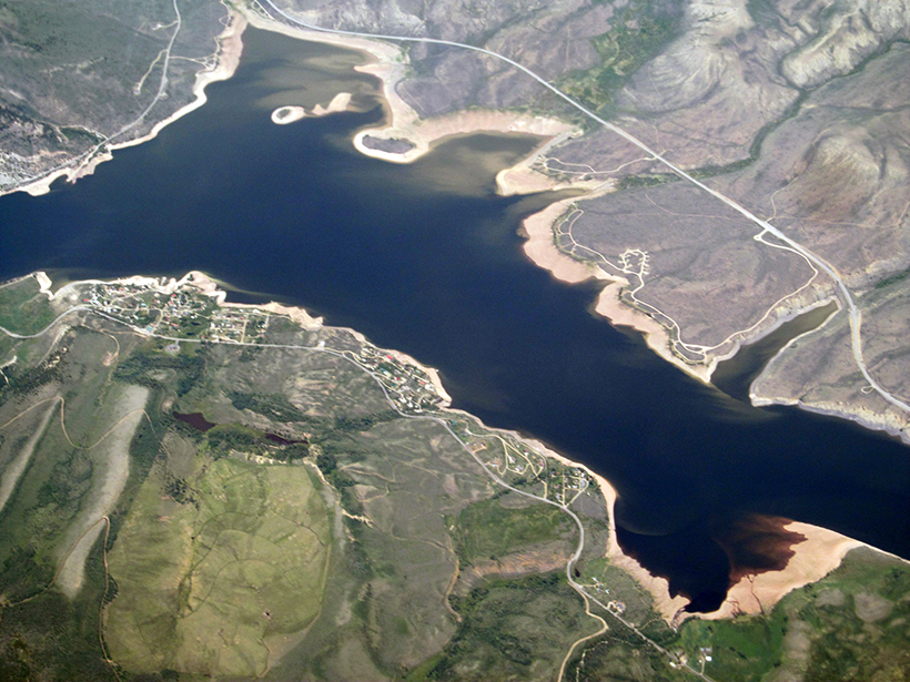
Different Models, Different Answers in Water Resource Planning
The experimental design used in climate vulnerability assessments can strongly influence the assessments’ findings and skew decisions about which factors are most important for informing adaptation.

Posted inResearch Spotlights
Researchers Produce First Artificial Icequakes
Laboratory experiments show similarities between glacier beds and tectonic faults.
Posted inEditors' Highlights
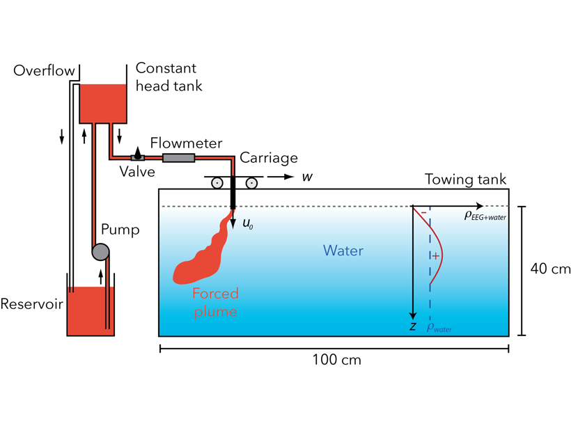
The Importance of Wind for the Fate of Volcanic Eruption Columns
A theoretical model coupled to lab experiments on turbulent jets with reversing buoyancy sheds new light on the role of wind in controlling the dynamics of volcanic eruptive columns.
Posted inResearch Spotlights
Modeling Gravity Waves with Machine Learning
Researchers used neural networks to better define the parameterizations necessary for modeling the distribution and characteristics of orographic gravity waves.
Posted inResearch Spotlights
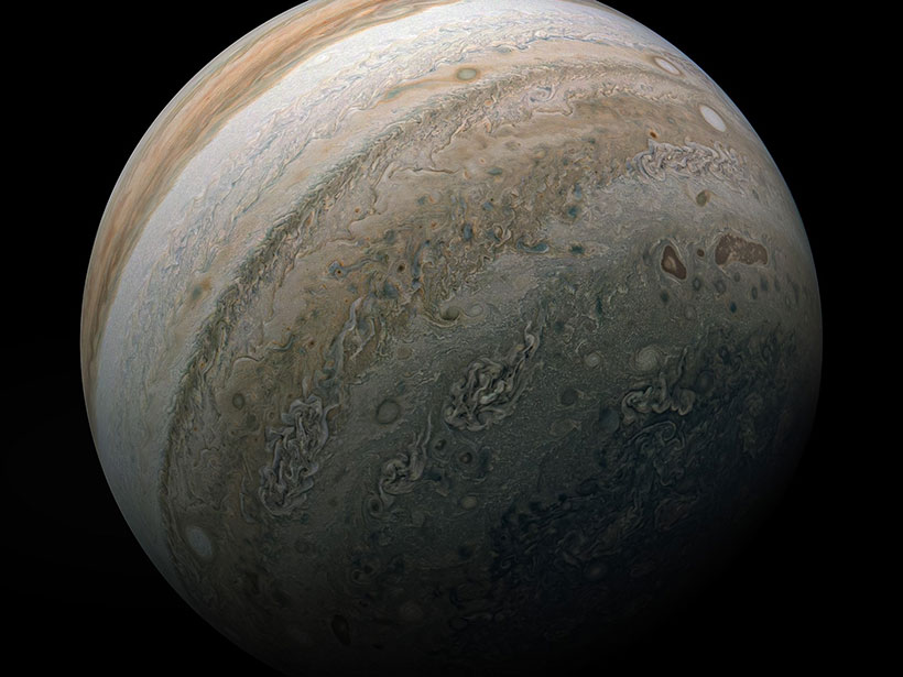
A Juno Era Model of the Jovian Magnetosphere
Updating a model developed during the Voyager flybys will enable better mission planning and a deeper understanding of Juno data.