
Dos nuevos conjuntos de datos ayudan a los investigadores a separar las influencias de la tectónica de placas y el movimiento del manto en la topografía de la superficie.
plate tectonics
Posted inNews
A Step Closer to Solving the Fermi Paradox
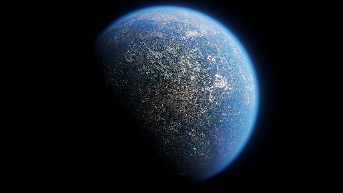
Finding evidence of complex life elsewhere in the Milky Way galaxy hinges on locating rocky planets with plate tectonics and a mixture of landmasses and oceans, new research suggests.
Posted inResearch Spotlights
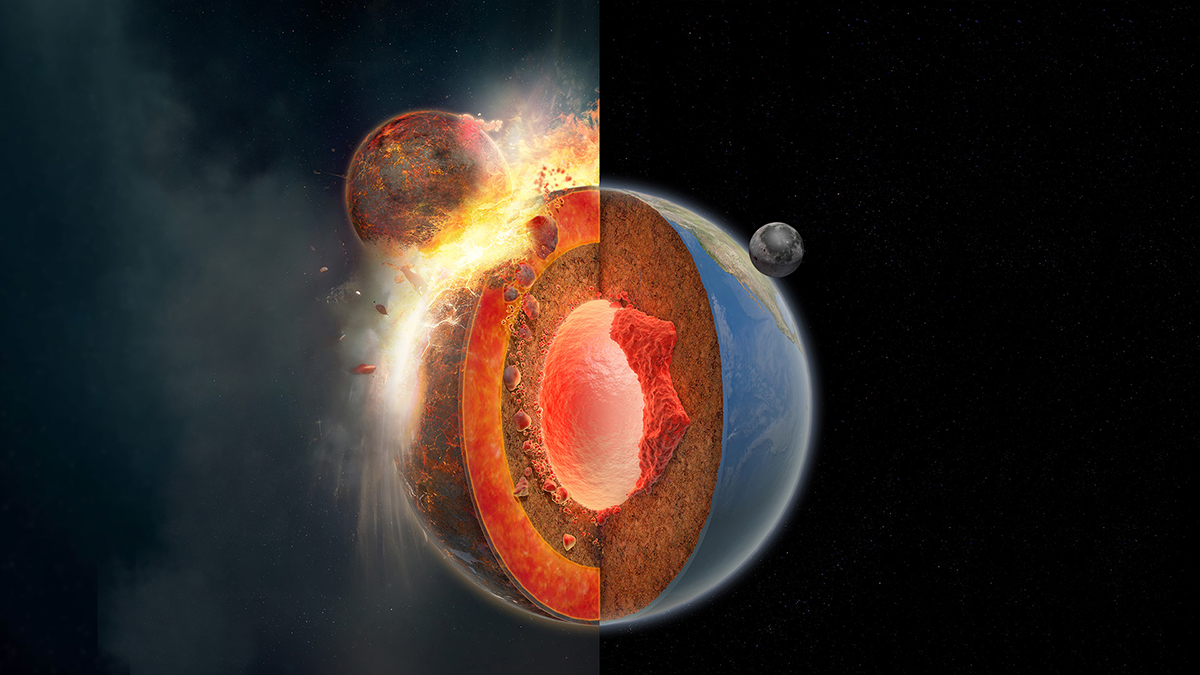
Earth’s Subduction May Have Been Triggered by the Same Event That Formed the Moon
The giant impact that formed the Moon may also have led to extrastrong mantle plumes that enabled the first subduction event, kick-starting Earth’s unique system of sliding plates.
Posted inEditors' Highlights
GAD is Enough!
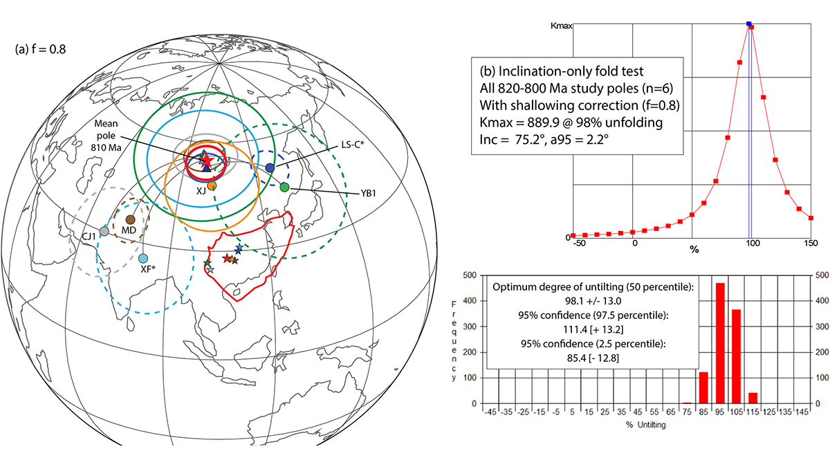
An exhaustive study in China finds no need to invoke extreme true polar wander nor anomalous geomagnetic fields in the early Neoproterozoic.
Posted inNews
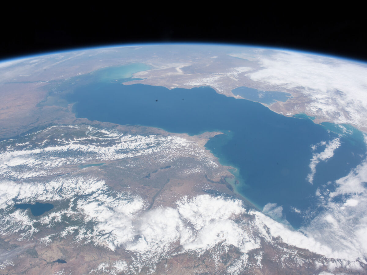
As the Caspian Sea Recedes, Tectonics May Help Shape Its Coastline
Land subsidence and uplift determine where the Caspian Sea’s coastline shifts the fastest.
Posted inResearch Spotlights
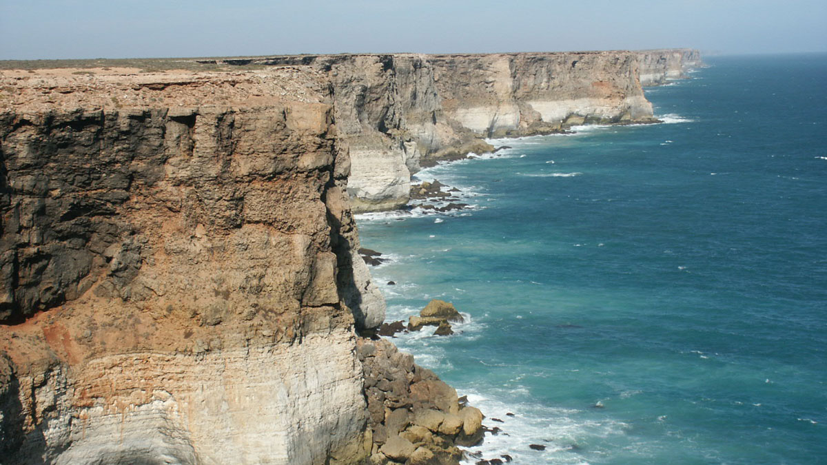
How Mantle Movements Shape Earth’s Surface
Two new data sets help researchers tease apart the influences of plate tectonics and mantle movement on surface topography.

Posted inNews
Earthquakes Can Trigger Megathrust Slip in Cascadia
A 2022 earthquake in Northern California may have triggered slow slip in the Cascadia Subduction Zone, according to a new study.
Posted inEditors' Highlights
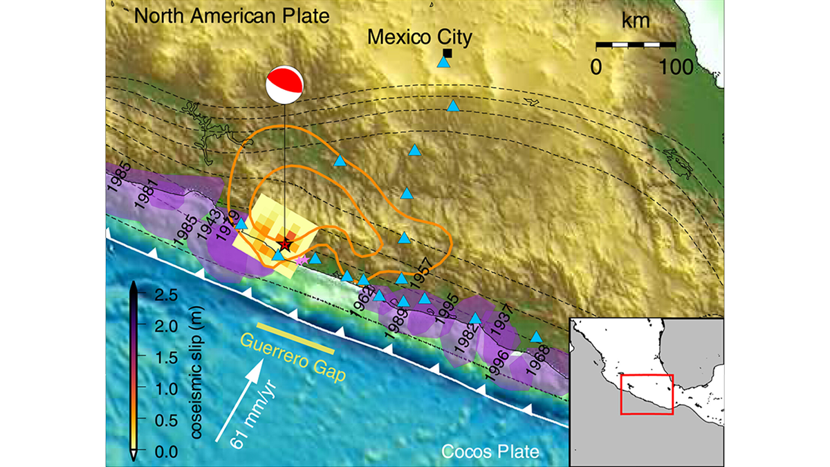
Forecasting Earthquake Ruptures from Slow Slip Evolution
A new generation of physics-based models that integrate temporal slip evolution over decades to seconds opens new possibilities for understanding how large subduction zone earthquakes occur.

Posted inResearch Spotlights
Uncovering Earthquake Evidence in Azerbaijan’s Greater Caucasus Mountains
A new study unearths geological evidence that corroborates historical accounts of large earthquakes along the Kura fold-thrust belt.

Posted inFeatures
The End of the Eclipse
Scientists are studying how the Earth–Moon distance has changed over time, and what effect that change might have had on our planet. Future changes will extinguish total solar eclipses entirely.